Map of Kissimmee
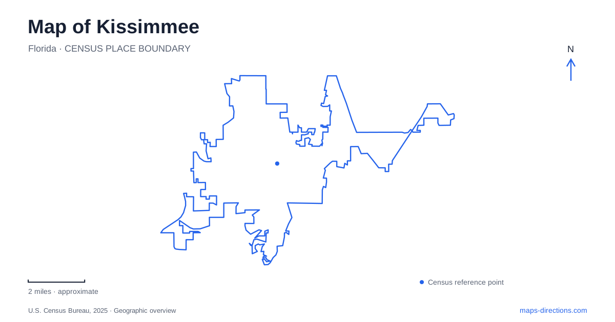
Street tiles load from OpenStreetMap when opened. The blue line shows the 2025 Census boundary.
- State
- Florida
- Population · July 2025
- 85,591
- Land area
- 21.6 sq mi
- Water area
- 0.7 sq mi
Kissimmee has a downtown geography shaped by Lake Tohopekaliga and a separate creek corridor that extends the outdoor picture beyond the central waterfront. The rail station, civic facilities and lakefront park form recognizable urban anchors, while Shingle Creek introduces several distinct park properties and access points. Understanding the relationship between these places is more useful than treating the entire area as a single recreation destination. The lake, creek, streets and transport facilities each explain a different part of the map.
Lake Tohopekaliga establishes the waterfront edge
The city places Lakefront Park between historic downtown and Lake Tohopekaliga, at 201 Lakeview Drive. Its named landmarks include the Monument of States, a lighthouse and memorials, alongside play areas, pavilions and outdoor event space. These features create several potential meeting points within the same park. A general marker at the center of the grounds will not necessarily identify the landmark someone else has in mind.
For a Kissimmee waterfront visit, name the intended facility rather than simply saying “the lake.” The city also identifies boat access through Big Toho Marina. That is a different activity from arriving at a playground or meeting beside a monument. A water-based outing may need a launch or operator-specific location, while a walk needs an appropriate pedestrian starting point. The broad lake label cannot answer both questions.
Dakin Avenue gives the rail hub a street address
The municipal transportation page lists the Amtrak station at 111 East Dakin Avenue and describes the area as an intermodal hub also serving commuter rail and buses. Nearby civic destinations can carry similar address references: the recreation guide lists the civic center at 201 East Dakin Avenue. These are distinct buildings despite sharing the same street.
When arriving by rail, select the onward destination separately after identifying the station. SunRail describes Lakefront Park as about half a mile from the downtown depot, providing a helpful sense of the relationship without prescribing a particular walking route. Check the actual pedestrian connection, crossing points and final park destination. A distance between general landmarks is not a substitute for a route to a particular pavilion, venue or entrance.
Shingle Creek explains the wider water landscape
The South Florida Water Management District identifies Shingle Creek as a major water source for Lake Tohopekaliga and part of the headwaters of the Everglades system. That gives the creek corridor a geographical connection to the lakefront even when the two appear as separate recreation areas on a city map. Water relationships and road relationships, however, are not identical.
A Kissimmee map can show the creek running toward the lake without showing a continuous public road beside it. Distinguish the watercourse from the land trail and from paddling access. A route appropriate for a bicycle, a walker or a canoe may require a different starting location. Choose the intended activity first, then use the corresponding trail or launch information rather than following the nearest blue line.
Steffee Landing is one specific creek entrance
Osceola County places Steffee Landing at 4266 West Vine Street. Its listed facilities include a canoe and kayak launch, trails, a fishing pier and historical structures. The county also identifies a restored cabin associated with the creek's earlier history. This makes the landing both a recreation access point and a place where the landscape's historical use remains visible.
The larger Shingle Creek name covers more than this one site. The city's trail description mentions Ruba Park, the Babb Property and Lancaster Ranch Park as other locations along the corridor. A Kissimmee outing organized around Shingle Creek should therefore preserve the property name. Searching only for the regional park may produce a valid result that is still unsuitable for the intended launch, meeting or trail segment.
The addresses distinguish the park properties
The municipal recreation guide places Ruba Park at 1575 Yates Road and the Babb Property at 2491 Babb Road. These addresses clarify why several similarly named park results can all be correct. They identify separate entries into a wider recreation landscape. Save the chosen one explicitly rather than selecting an arbitrary pin inside the overall green area.
For Kissimmee, this distinction completes the map's main story: the downtown lakefront offers a concentrated set of civic and recreation stops, while the creek corridor is entered through named properties along different streets. Plan the exact arrival at each site before connecting them into an itinerary. The water system explains their geographical relationship, but the street and trail networks determine how a visitor moves between them.
Map and statistics: U.S. Census Bureau, 2025 Gazetteer, January 2025 generalized place boundaries and Vintage 2025 population estimates. Local references: City of Kissimmee; SunRail; South Florida Water Management District; Osceola County. Article prepared by Maps & Directions.