Map of Kiryas Joel
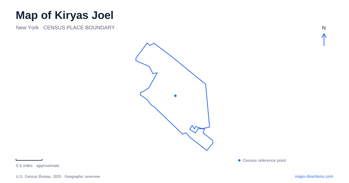
Street tiles load from OpenStreetMap when opened. The blue line shows the 2025 Census boundary.
- State
- New York
- Population · July 2025
- 47,147
- Land area
- 1.5 sq mi
- Water area
- 0.0 sq mi
Kiryas Joel is a village whose map needs more than one kind of boundary. Village streets, the Town of Palm Tree, nearby municipalities and postal addresses describe overlapping but different geographic systems. Forest Road provides a useful local reference, while Route 17 establishes the broader southern transport context. Understanding which layer a map is showing is especially helpful here because older county documents can describe municipal relationships that have since changed.
Village, town and mailing place
Orange County's comprehensive-plan update explains that the Town of Palm Tree formed on January 1, 2019, around the village and land north of Route 17 formerly in the Town of Monroe. This gives an important date for comparing maps. A pre-2019 document may use Monroe as the town context without describing the present governmental arrangement.
Mailing information adds a separate distinction. The village's official tax portal gives Town/Village Hall at 51 Forest Road, Suite 340, with a Monroe mailing label. It also differentiates that physical location from its post-office-box mailing address. This is a concrete example of why a postal city name should not be used alone to infer a municipal boundary. A Monroe address label does not erase the village or town context shown on local-government maps.
Forest Road gathers several local connections
Forest Road is a useful organizing line through Kiryas Joel because the village's published street schedules identify multiple connections to it. These include Acres Road, Schunnemunk Road, Mountain Road, Van Buren Drive and Quickway Road. Together, those junctions describe a network of local choices rather than a single uninterrupted through journey to every destination.
An address on one of the connected streets is geographically different from an address directly on Forest Road. Reading the junctions makes that difference visible. It also helps distinguish a main local reference from the courts and shorter residential streets that branch from the network. Keep the full street suffix when examining a destination: a road, boulevard and court can have different shapes and roles even when their labels share a familiar local name.
Acres, Bakertown and the county-road context
County transportation material identifies Acres Road between Bakertown Road and County Road 105 in a roadway-classification request. This places the local street within a wider connection rather than treating it as an isolated residential label. The village schedules also identify Israel Zupnick Drive at Acres Road and Bakertown Road, providing additional named junctions for understanding the network.
For a Kiryas Joel map, these relationships are more useful than assuming every road leading toward a boundary offers the same onward route. Trace the named connections to County Road 105 when a trip extends beyond the village. The county document discusses classification and includes future-connector language for another corridor; it should therefore be read as transport-planning evidence, not a declaration that every proposed link is already built and open.
Schunnemunk and the northern surroundings
Schunnemunk Road appears repeatedly in local street information, including junctions with Forest Road, Lizensk Boulevard, Raywood Drive and Mordche Scher Boulevard. County mapping also places the wider area in the context of South Blooming Grove, Woodbury and the Schunnemunk landscape. The repeated regional name connects the street map with a larger geographic setting, but a road carrying that name is not automatically a trailhead or park entrance.
Kiryas Joel's surroundings should therefore be read at a second scale. The village view is useful for local streets and buildings; a regional open-space or road map is useful for destinations beyond those streets. A nearby protected area and a road sharing its landscape name answer different questions. Use the actual park or destination listing when the purpose of the journey is outside the village rather than extending a local street assumption into unfamiliar terrain.
Service boundaries are another layer
Orange County publishes an emergency-services map for the area with a separate legend for the service district and municipalities. That distinction is significant: an operational service area is not necessarily identical to a village boundary, a postal area or a property parcel. The map also labels neighboring communities, which can help orient an unfamiliar address without replacing the relevant jurisdictional layer.
A map of Kiryas Joel becomes clearer when the layers are kept in order: the current village and town relationship, Forest Road and its named connections, the larger Route 17 and county-road context, and the particular destination address. This approach explains apparent inconsistencies among older plans, service maps and mailing labels without treating them as interchangeable descriptions of the same boundary.
Map and statistics: U.S. Census Bureau, 2025 Gazetteer, January 2025 generalized place boundaries and Vintage 2025 population estimates. Local references: Orange County; Village of Kiryas Joel; Orange County GIS. Article prepared by Maps & Directions.