Map of Kirkland
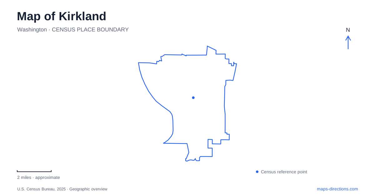
Street tiles load from OpenStreetMap when opened. The blue line shows the 2025 Census boundary.
- State
- Washington
- Population · July 2025
- 97,410
- Land area
- 17.8 sq mi
- Water area
- 4.9 sq mi
Kirkland has more than one kind of waterfront. Lake Washington supplies the broad western shoreline, Juanita Bay contains protected wildlife habitat, and Totem Lake sits within an inland urban district. A former railway corridor adds a separate walking and cycling route through the city. Understanding those four features helps distinguish a beach outing from birdwatching, a trail journey, or a short walk through a wetland surrounded by development.
Two Juanita parks with different purposes
Juanita Bay Park is addressed at 2201 Market Street. Its boardwalks and viewing areas overlook Forbes Creek Wetland and the bay, making it a place to observe habitat rather than enter the water. The designated wildlife area excludes swimmers and boats, including nonmotorized craft. Buoys mark its boundaries, so the protected water has a different purpose from the recreational beach nearby.
The park also carries an unexpected sporting history. From 1932 to 1975, the land served as a nine-hole golf course, where future champion Joanne Gunderson Carner learned to play. That former use contrasts sharply with today's restoration work. A wildflower-meadow pilot begun in 2020 aimed to improve bird and pollinator habitat while protecting nesting turtles.
Juanita Beach Park, at 9703 NE Juanita Drive, has a more active recreation layout. It occupies both sides of the road: volleyball and the shoreline lie on the beach side, while tennis courts and youth ballfields occupy the north side. The bathhouse and accessible playground were renewed in 2020. The road's position is therefore central to understanding how the park's facilities fit together.
The shoreline records an engineering change
The sandy shore at Juanita Beach has a history tied to a project far beyond the park. Construction of the Lake Washington Ship Canal lowered the lake in 1916, exposing additional shoreline. The city describes the water-level change as 8.8 feet. Resort development followed, including a large bathhouse during the 1920s.
This history helps explain why the waterfront is more than a scenic edge on a map of Kirkland. Human intervention changed where land met water, and later park development changed how people used that edge. Present-day swimming access still depends on seasonal arrangements and water-quality conditions; a beach symbol describes a facility, not a promise that swimming is available on every visit.
A railway alignment became a city corridor
The Cross Kirkland Corridor follows a former BNSF railway alignment. The city purchased its section in 2012 and began removing tracks in 2013. The resulting 5.75-mile transportation and recreation corridor forms part of the wider Eastrail system. Its relatively continuous alignment explains why it can connect neighborhoods in a different way from streets that turn, climb, or end at local blocks.
A trail map is particularly useful here because the corridor is a route through the city rather than one park enclosure. Street crossings and connections determine where an individual journey begins and ends. The stretch between NE 52nd Street and 108th Avenue NE includes culvert and stream-area infrastructure, making it important to check the city's segment-specific trail guidance after repairs or storm damage. A restriction at one crossing concerns a specific segment, not the identity of the entire corridor.
For Kirkland residents and visitors, this former railway supplies an inland counterpart to the lakefront parks. It supports movement between areas, while the waterfront destinations often invite a longer pause at one location.
Totem Lake combines ecology, art, and a crossing
Totem Lake Park at 12207 NE Totem Lake Way reopened in 2021 with an all-abilities playground and a ten-foot-wide boardwalk connected to the trail corridor. The central wetland provides habitat and helps absorb rainwater and filter pollutants. It is therefore part of the district's environmental infrastructure as well as a place for a walk.
Along the boardwalk, Jill Anholt Studio's artwork Trace uses brightly colored vertical elements. From particular viewpoints, paired pieces align into outlines of animals, birds, or fish associated with the wetland. The work makes changes in viewing position part of the experience, encouraging a slower passage through the park.
The Totem Lake Connector bicycle and pedestrian bridge opened in July 2023, adding a prominent crossing in the same district. Together, the park and bridge show how inland Kirkland differs from its Lake Washington edge: here, a wetland, major streets, and a former railway route meet within an urban center. Keeping those relationships visible turns a collection of park names into a coherent local map.
Map and statistics: U.S. Census Bureau, 2025 Gazetteer, January 2025 generalized place boundaries and Vintage 2025 population estimates. Local references: City of Kirkland. Article prepared by Maps & Directions.