Map of Kingsport
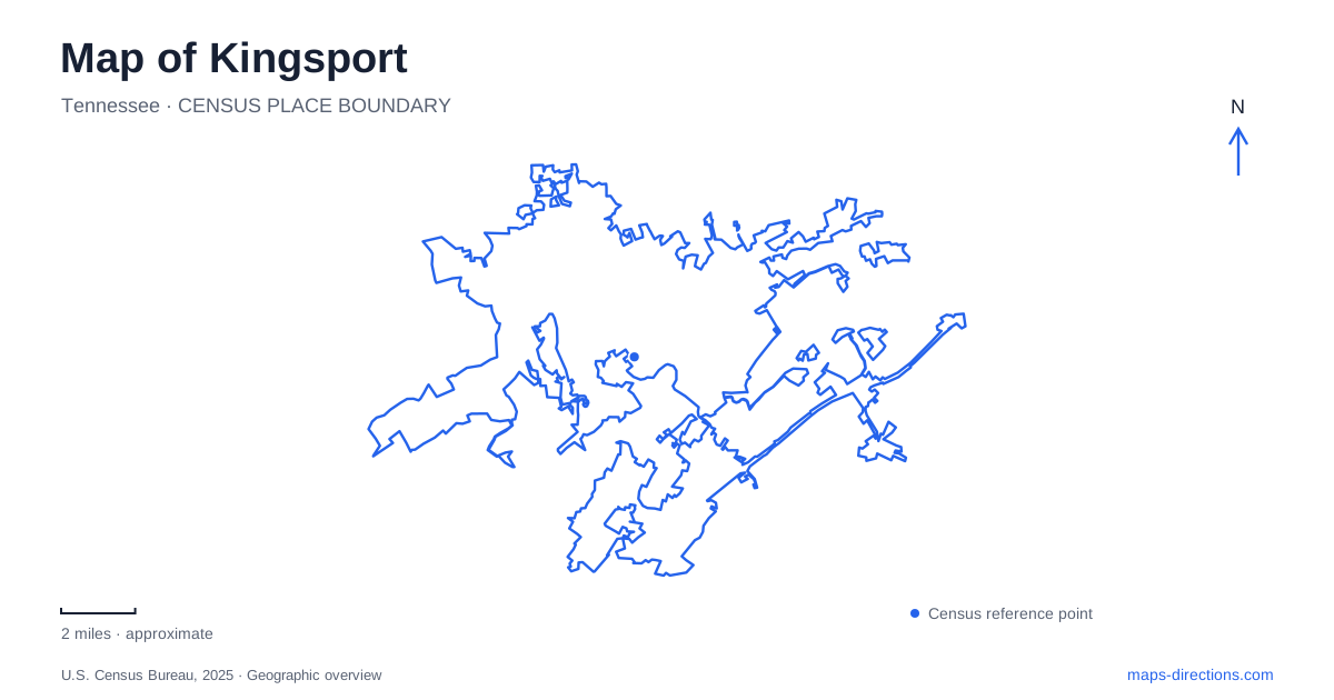
Street tiles load from OpenStreetMap when opened. The blue line shows the 2025 Census boundary.
- State
- Tennessee
- Population · July 2025
- 57,530
- Land area
- 53.1 sq mi
- Water area
- 0.9 sq mi
Kingsport is shaped by the meeting of waterways and by the mountain landscape beside the developed valley. The North and South Forks of the Holston provide the large-scale river setting. Reedy Creek introduces a smaller corridor through town, followed in places by the Greenbelt. Netherland Inn preserves a history of travel beside the river, while Bays Mountain offers a separate reservoir, wooded ridges and educational attractions. These places belong to the same local geography, but each calls for a different scale of map and a different kind of visit.
The Holston forks and the old river road
Netherland Inn stands at 2144 Netherland Inn Road above the Holston River. The restored building faces the old stage road in the Boat Yard area, where overland journeys and river travel once met. Its position is central to its meaning: this was a place where travelers could stop near the water before continuing through a much larger regional transport network.
The river landscape gives Kingsport a history that extends beyond its present street pattern. The historic site's interpretation describes settlers building boats for westward journeys. Viewing the inn and the river together makes that activity easier to imagine than treating the building as an isolated piece of architecture. The road frontage and the riverbank had complementary functions in moving people and supplies.
Near the Netherland Inn Road bridge, the city locates a battle monument just upstream from the confluence of the two Holston forks. That confluence is a strong orientation feature: two named rivers join to form the downstream Holston. It also explains why labels can change along what appears, at a broad map scale, to be one continuous water corridor.
Reedy Creek and the Greenbelt
The Greenbelt offers a more everyday outdoor route through Kingsport. The city describes it as a ten-mile multi-use trail with access points across town. Along the Stone Drive corridor, it follows Reedy Creek, bringing a streamside route into close relationship with developed commercial areas.
Two access areas illustrate that contrast. At Stonebrook Place, parking off East Stone Drive leads toward mowed ground, a detention pond and a wooded stream. At East Stone Commons, the route runs between wooded Reedy Creek and wetland habitat. A shopping-area address can therefore provide access to a very different environment a short distance away. The creek supplies continuity through surroundings that would otherwise seem unrelated.
The city also emphasizes the Greenbelt's role in protecting wetland and waterway buffers. Interpretive signs address birds, watersheds and vegetation, so the route can be used for observation as well as exercise. Choosing a particular access point determines the starting landscape; a short walk beside wetlands need not become an attempt to cover the entire trail.
Bays Mountain's reservoir and ridges
Bays Mountain Park and Planetarium is a distinct Kingsport destination at 853 Bays Mountain Park Road. Its reservoir, wooded ridges and valleys, nature center, animal habitats and planetarium create a combination of outdoor recreation and structured learning. The nature center's hilltop relationship to the water is particularly useful for understanding the visitor area: the lake forms a visual focus below the educational facilities.
The park's improvement plan identifies its wolf habitat, herpetarium and forested terrain as separate assets. A family visiting animal exhibits may spend the day differently from someone heading out on trails, even though both use the same park entrance. The terrain also means that a path across a ridge and one near the reservoir should not be treated as equivalent simply because their mapped lengths are similar.
The reservoir has specific recreation rules. Visitors cannot launch their own watercraft without written permission; staff-directed park programs are handled separately. Check arrangements for the park's barge service and the nature center's lower level separately from general grounds access. Those distinctions matter for anyone choosing the destination primarily for an activity on the water or an indoor exhibit visit.
Matching the outing to the landscape
A Kingsport itinerary can use the river confluence, Reedy Creek and Bays Mountain as three different organizing features. The inn and old road emphasize transport history. The Greenbelt provides a linear route through the city, including sections close to commerce and wetlands. The mountain park concentrates a reservoir, forest and scheduled educational experiences in one larger managed property.
For a short visit, selecting one of these settings gives the day a clearer purpose than attempting to connect every green area on the map. Someone interested in settlement history can focus on the inn and riverbank; someone seeking a walk near town can choose a Reedy Creek access point. A mountain outing deserves its own trail selection and activity planning, with the reservoir and nature center serving as the main reference points once inside the park.
Map and statistics: U.S. Census Bureau, 2025 Gazetteer, January 2025 generalized place boundaries and Vintage 2025 population estimates. Local references: Netherland Inn and Boatyard Historic Site; City of Kingsport; Bays Mountain Park and Planetarium. Article prepared by Maps & Directions.