Map of Kentwood
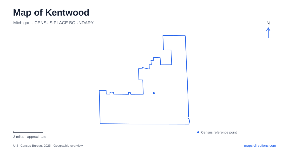
Street tiles load from OpenStreetMap when opened. The blue line shows the 2025 Census boundary.
- State
- Michigan
- Population · July 2025
- 54,776
- Land area
- 20.9 sq mi
- Water area
- 0.1 sq mi
Kentwood has a useful geography that becomes clearer when public buildings and trails are plotted alongside its numbered streets. Breton Avenue provides a civic reference, Kalamazoo Avenue marks an important end of the local trail network, and 60th Street connects several southern recreation destinations. The M-6 corridor adds a regional east-west line. These features reveal a community with several activity centers, where an appointment at the library and a bicycle trip toward Caledonia begin in different parts of the same urban landscape.
Breton Avenue and the public buildings
City Hall is at 4900 Breton Avenue SE, with the Richard L. Root library branch at 4950 Breton SE. Their closely grouped addresses make this part of Breton a useful starting point for civic services. The activities center, however, is a separate destination at 355 48th Street SE. A municipal program can therefore lead to a different corridor from a visit to the city offices or library.
The library's history adds another layer to the map of Kentwood. It began as a county bookmobile stop on South Division near 44th Street when the area was still Paris Township. A permanent branch followed in 1955, and the present two-story facility opened in August 2010. Those changing locations trace the growth of public services across the community. They also explain why an older reference to the library may point to a different street from the current Breton Avenue building.
A diagonal trail through the street grid
The Paul Henry Thornapple Trail begins its continuous local paved segment near Kalamazoo Avenue and 44th Street, then extends toward Caledonia. Kent County describes the route as a partnership among several jurisdictions, with different agencies responsible for different sections. That organization matters because the long-distance trail name covers more than one municipality and more than one stage of development.
Within the regional map, the trail provides a different pattern from the numbered streets. It links neighborhoods and public spaces along a corridor that can be followed across local boundaries. The county's account distinguishes the existing continuous paved connection from the larger planned route through three counties. A ride from the urban end toward Caledonia is therefore supported by an established local connection, while the full regional vision should not be read as one uniformly finished trail.
Where 60th Street meets the regional network
Wing Avenue just north of 60th Street is an important access point for trail users in Kentwood. Kent County lists a small parking area here for the Fred Meijer M-6 Trail, which connects with the Paul Henry Thornapple route. This junction makes the southern part of the city useful for trips extending beyond a single neighborhood loop.
The M-6 Trail runs west toward Kent Trails and east toward the Thornapple corridor. It serves destinations including Creekside Park and the school complex, with much of its route following the highway corridor. The county also identifies a sidewalk section between Division Avenue and Clyde Park Avenue. That is a meaningful distinction for route planning: the regional connection exists, but its character changes along the way. A dedicated pathway beside open land and a sidewalk through a developed corridor offer different riding experiences.
Paris Park and East Paris Nature Park
The Paris name appears in several local places because of the area's earlier township identity. Paris Park is a natural area whose origins include a 1959 land donation and an additional township donation the following year. The county's park history describes a later closure after a bridge washout over Plaster Creek, followed by an agreement for municipal operation. The land's history combines neighborhood development, water, and public recreation rather than a simple conversion of an empty parcel into playing fields.
East Paris Nature Park is separately identified at 5995 East Paris Avenue SE. The city recreation inventory places it near the Paul Henry Trail and Endeavor School, with trails, boardwalks, and overlooks. The county trail map labels both Paris Park and East Paris Nature Park, making their distinction clear. For an outdoor visit in Kentwood, choosing which of these two places is intended prevents their similar names from obscuring the actual location and approach.
Understanding local and regional journeys
The public-space network helps organize a map of Kentwood without reducing it to major shopping or highway corridors. Breton's civic buildings serve a concentrated set of appointments. The Kalamazoo and 44th Street trail end opens a longer route toward the southeast. Wing Avenue and 60th Street provide a connection across southern Kent County, while the Paris parks introduce streamside and woodland settings within the developed area.
These relationships are useful whether planning a short walk or several stops by car. Begin with the named facility or trail junction, then use the larger street grid to understand its position. The result is a map that shows how civic life, township history, and regional recreation occupy different but connected parts of the city.
Map and statistics: U.S. Census Bureau, 2025 Gazetteer, January 2025 generalized place boundaries and Vintage 2025 population estimates. Local references: Kent County; Kent District Library; Kent County Parks; City of Kentwood. Article prepared by Maps & Directions.