Map of Kentucky
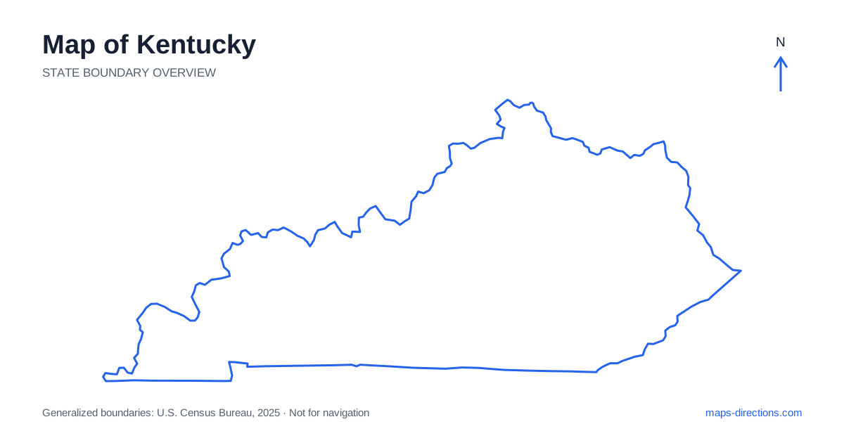
Kentucky has a long east-to-west shape, with riverfront cities along its northern side, mountain country in the east and a broad lake region toward the west. Louisville, Lexington, Bowling Green and Paducah help locate those different travel areas. Frankfort, the capital, is another important reference point, but it is not the center of every route. Reading the state by regions first makes its roads more understandable and helps prevent a short-looking line across the outline from hiding a substantial transfer between very different landscapes.
Let the Ohio River establish the northern edge
The Ohio River forms much of Kentucky's northern boundary beside Illinois, Indiana and Ohio. Its bends give the outline a distinctive shape and create a series of riverfront communities. Louisville occupies one major crossing area, while Covington and Newport face the Cincinnati region farther northeast. These are separate metropolitan settings, not nearby districts on a single continuous urban waterfront.
A destination across the river needs a specific bridge and approach. The nearest point on the opposite bank may not be the point that is easiest to reach by road. This matters when a hotel and an event venue sit in different states but share one metropolitan description. Identify both addresses and the crossing between them before deciding that they form a convenient local pairing.
Place the Bluegrass cities and the capital
Lexington sits within the Bluegrass region, where rolling landscapes, farms and smaller towns surround a substantial urban center. Frankfort lies farther northwest along the Kentucky River. The capital's valley setting differs from the broader road pattern around Lexington, so the final approach into each city deserves its own map rather than one generic central-region pin.
The surrounding countryside can make destinations seem close and open, but a farm entrance or rural accommodation address may lie on a smaller road away from the nearest main route. Use the named entrance when one is provided. A scenic drive through the region also works best as a deliberate sequence of roads, not a succession of straight-line connections between places selected only because their labels fit near one another.
Understand the major interstate junctions
Interstate 64 connects the Louisville area with Lexington and continues east toward the Ashland region. Interstate 75 follows a north-to-south corridor through the Lexington area, while Interstate 65 connects Louisville with Bowling Green and the route toward Nashville. Together, these roads explain many of the principal city relationships without describing every local journey.
A stop beside one corridor is not necessarily convenient to a trip using another. Sketch the overall direction first and identify where the route changes highways. This is especially helpful when combining a capital visit, a horse-country stay and a southern destination. An apparently central overnight location can create repeated backtracking if the next day's first stop lies on the far side of the same junction already crossed the previous evening.
Read the Appalachian east through its valleys
Eastern Kentucky includes rugged Appalachian terrain, where roads often follow valleys and negotiate ridges rather than forming a regular grid. Pikeville, Hazard and other regional towns provide important orientation points. A map centered only on the major interstates can understate the amount of local travel needed to reach a smaller community or recreation destination.
Choose the actual valley approach and follow the road to the final address. Two places separated by a short distance across a ridge may have a much longer road connection. For an outdoor visit, distinguish a broad forest or recreation-area label from its trailhead, campground or visitor entrance. Terrain explains the indirect route; current conditions determine whether the chosen road is suitable on the date of travel.
Separate the western lakes from the central cave region
The western part contains Kentucky Lake and Lake Barkley, with the Land Between the Lakes area occupying the peninsula-like land between them. Reservoir arms and shoreline roads give this region a different travel pattern from the cities farther east. A lakeside stay should be located by its exact shore and access road, because being near the same named lake does not guarantee a short drive between two properties.
Mammoth Cave lies in the south-central region near the broader Bowling Green area, not within the western lake cluster. A visit there requires a specific park destination rather than a general cave-region label. Keeping these areas separate on the map helps establish a sensible order of travel and prevents two different outdoor regions from being treated as adjacent stops simply because both fit the same trip theme.
Build a route that respects the long state shape
A river-city visit, a Bluegrass itinerary, an eastern mountain trip and a western lakes stay each form a coherent regional plan. Combining them can be worthwhile, but the transfers are real parts of the journey. Plot the overnight bases before adding optional attractions, and make sure the sequence progresses through the state rather than repeatedly crossing the same central corridor.
The most useful map plan keeps water and terrain visible alongside the highways. Mark the bridge into a riverfront city, the valley approach in the east and the correct reservoir shore in the west. Use a close view for the last few turns into each destination. Those details turn the familiar outline into a practical set of connections, while leaving room for the different pace of urban roads, mountain routes and lakeside approaches.