Map of Kennewick
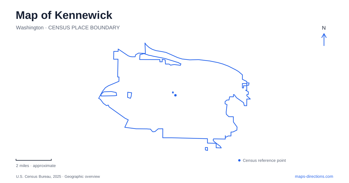
Street tiles load from OpenStreetMap when opened. The blue line shows the 2025 Census boundary.
- State
- Washington
- Population · July 2025
- 88,366
- Land area
- 28.6 sq mi
- Water area
- 1.4 sq mi
Kennewick is best read through the contrast between its Columbia River frontage and the districts extending inland. The waterfront contains a long park landscape, an island with a modern lighthouse, and former working properties being adapted for new uses. Farther from the river, an old airfield and a southern sports complex tell different chapters of urban growth. A map becomes much more informative when these places are treated as distinct landscapes rather than a collection of interchangeable riverside attractions.
Columbia Park and the eastern waterfront
The city describes Columbia Park as occupying a six-mile stretch of riverfront. East of that landscape, Columbia Drive leads toward Clover Island and Columbia Gardens. This gives the shoreline a useful sequence: a broad recreation corridor, an island destination and a redevelopment area connected to the older downtown environment. They share the Columbia River, but their shapes and functions differ.
For Kennewick, the waterfront is both a geographic edge and an area of continuing change. A park label spread across a long stretch of shoreline gives a different kind of information from a specific island entrance or building address. Recognizing that difference helps explain why two riverfront destinations can be separated by a substantial journey along the bank. Columbia Drive is particularly useful as a reference for the eastern cluster, where the island approach and new artisan spaces sit within the same wider redevelopment story.
Clover Island's new lighthouse and restored shore
Clover Island combines a marina, public spaces, a recreational pathway and commercial uses. Its lighthouse is a modern landmark: constructed in May 2010, it rises 62 feet and was assembled from four precast concrete sections. Its silhouette can suggest a much older navigation structure, but its construction belongs to an effort to give the waterfront a stronger public identity.
The island's renewal also includes ecological work. The port reports completion of shoreline habitat improvements and Riverwalk enhancements in early 2023. These projects were intended to improve conditions for listed and endangered fish while strengthening public access to the river. That pairing matters when interpreting the island's edge. A restored shoreline is not simply decorative space beside a pathway; it serves a different purpose from the plaza, marina or boat launch. The public landscape combines several uses within a relatively concentrated area.
Columbia Gardens and the working landscape
Columbia Gardens gives Kennewick a waterfront district shaped partly by the practical needs of small wine producers. Its development includes a city-managed winery wastewater treatment system, buildings with leasable spaces, a food-truck plaza and a loop roadway. Those details explain why this is more than a set of tasting-room addresses. Production infrastructure is part of the site's identity, even when it is less visible than storefronts or public art.
The port also describes a bicycle and pedestrian pathway beside a nature pond. Wayfinding signs installed in 2023 include directions along the Duffy's Pond path near Clover Island Drive. This smaller water feature should remain distinct from the main river on a map. The pond-side path, island approach and Columbia Drive streetscape form adjoining pieces of an urban waterfront, with different relationships to water, buildings and movement. Their proximity makes the connections worth examining at neighborhood scale.
Vista Field records a change in land use
Vista Field was once an airfield serving local pilots and farmers. During World War II, the Navy leased it for pilot training; after that lease ended in spring 1947, it continued as a general aviation airport. The port acquired the property from the city in 1991 and operated it until December 31, 2013, when aviation operations ended.
The 103-acre site's later planning aims to create a regional town center. That is a change in the purpose of a substantial piece of land, not simply a renamed airport. An old aerial image can therefore preserve a runway layout that no longer describes its current function. On a map of Kennewick, Vista Field is useful as an example of how earlier transportation space becomes available for a different street and development pattern. The redevelopment remains a process, so a master-plan drawing should not be read as a complete inventory of finished buildings.
Southridge and a memorial within a sports complex
Southridge marks another inland district, associated with access to Highway 395 and Interstate 82. The sports and events complex contains fields and indoor recreation space, but it also holds a 9/11 memorial built around a steel column recovered from the World Trade Center. The city describes the column as 30 feet long and weighing 6,000 pounds. Its setting links a nationally significant object with a place used for everyday community activities.
The memorial, former airfield and eastern waterfront occupy different parts of Kennewick's civic landscape. Read together, they show a city organized by more than its river view: recreation, remembrance, production and redevelopment all have their own locations. Keeping those differences visible produces a more useful understanding of the city than treating its map as a single downtown point surrounded by roads.
Map and statistics: U.S. Census Bureau, 2025 Gazetteer, January 2025 generalized place boundaries and Vintage 2025 population estimates. Local references: City of Kennewick; Port of Kennewick. Article prepared by Maps & Directions.