Map of Keller
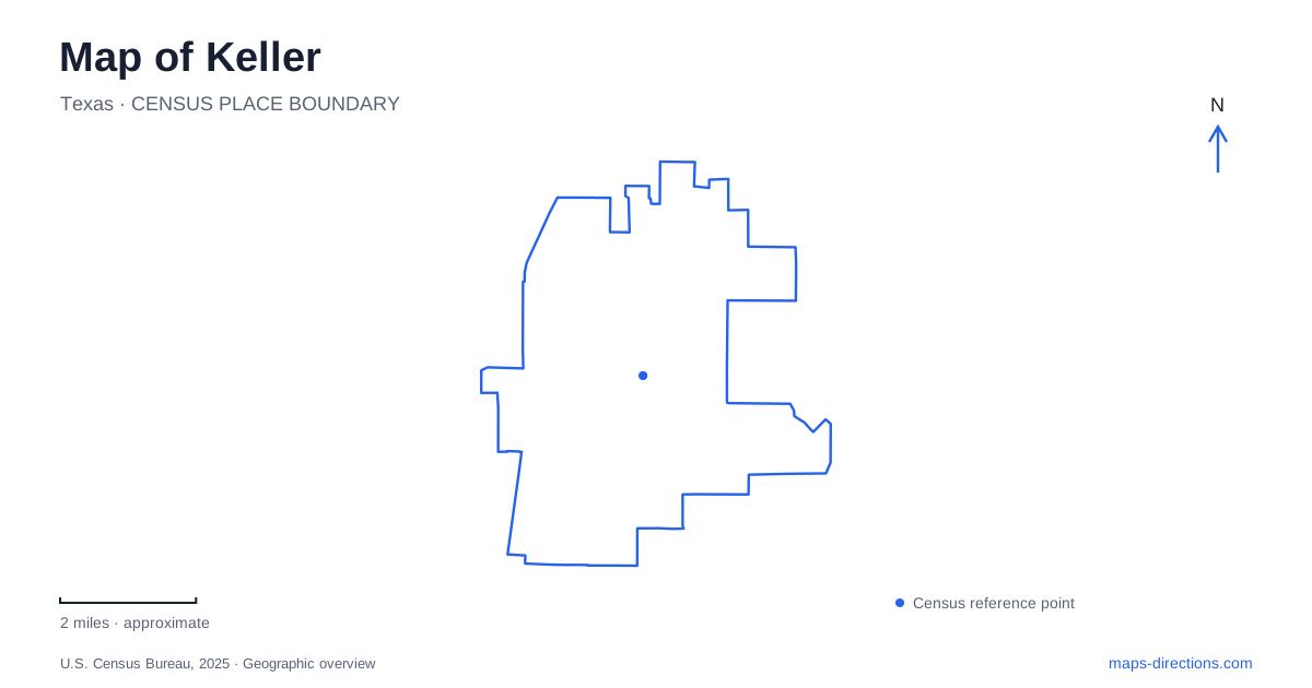
Street tiles load from OpenStreetMap when opened. The blue line shows the 2025 Census boundary.
- State
- Texas
- Population · July 2025
- 46,078
- Land area
- 18.4 sq mi
- Water area
- 0.1 sq mi
Keller has an Old Town, a Town Center, and a creek corridor that links several recreation areas. Those names describe different parts of the city, rather than alternative labels for one downtown. Main Street and Bates Street help locate the older district; Bear Creek Parkway supplies references for civic grounds and parks; Johnson Road identifies another cluster of public facilities. Keeping these settings distinct gives a useful structure to the map before individual destinations are added.
Old Town follows a street-based pattern
Main Street, Taylor Street, and Bates Street provide useful references in the older district. Municipal planning records identify properties around the Main and Taylor intersection as part of Old Town, while the history museum is at 133 Bates Street. These are specific streets within an established neighborhood, not the address of a single shopping complex.
The Keller History Museum occupies a historic house that was relocated from Main Street to Bates Street. That movement is part of the building's story. An older photograph or recollection of its original location may be historically meaningful without identifying where to visit it now.
The museum provides an opportunity to connect the street map with local memory. A building can remain important to a community after moving, while the original lot and present museum site become separate points in its history. Using Bates Street for the current destination preserves that distinction.
Town Center is another organizing area
The Parks at Town Center are identified at 1100 Bear Creek Parkway, also the municipal address for city hall. This establishes a different civic reference from Old Town's Main Street setting. A person attending a city event or visiting the park grounds should therefore use the named venue rather than assume that the word center always means the older commercial district.
The Town Center area includes landscaped public space and nearby streets such as Town Center Lane. It is useful to view the civic address and the surrounding grounds together, while still recognizing the different purposes of buildings, paths, and gathering areas. A municipal appointment and a park visit may share a broad location but occupy different parts of it.
On a map of Keller, the distinction between Old Town and Town Center is one of the first choices worth making. It clarifies which street group is relevant and prevents two different forms of public life from being collapsed into one vague destination.
Big Bear Creek supplies a cross-city connection
The Big Bear Creek Greenbelt follows the creek corridor through parks and natural settings. The city's trail description identifies a constructed route of about 5.4 miles, extending from the sports park area on Chisholm Trail eastward to Bear Creek Parkway at Lakeridge Drive.
These endpoints explain the greenbelt's role. It is a linear connection across the city, not simply a loop inside Bear Creek Park. Someone seeking a short outing within one park and someone planning a longer walk along the corridor are using the same network at different scales.
The creek and the streets also organize movement differently. Bear Creek Parkway is a road reference, while the greenbelt trail follows a landscape connection through public open space. Their related names should not be taken to mean they are the same route. The distinction becomes especially useful where a map shows both road and trail lines close together.
Bear Creek Park is a destination within the larger system
Bear Creek Park is listed at 400 Bear Creek Parkway, a different address from the Town Center grounds farther along the same named road. This is a straightforward but useful local distinction: the repeated Bear Creek wording refers to a waterway, a road, a park, and a broader greenbelt.
For a visitor exploring Keller, each term answers a different question. The road identifies an approach; the park identifies a place to spend time; the greenbelt describes a route that continues beyond one destination. Reading all three together helps explain the recreation landscape without assuming every activity begins at city hall or at one park entrance.
Johnson Road combines recreation with public facilities
Johnson Road Park, at 640 Johnson Road, has the Imagination Station playground, picnic pavilions, an amphitheater, and a short hike-and-bike route. Municipal information also identifies access to the public library and senior activities center from this setting.
This cluster offers a different kind of outing from the longer creek corridor. The park supports time spent within a bounded public space, while neighboring facilities provide indoor activities and services. Its trail can be considered as part of a local visit rather than automatically treated as the beginning of a cross-city excursion.
A map of Keller is most useful when these relationships remain visible: the older street district and moved historic house, the civic grounds on Bear Creek Parkway, the long greenbelt, and the Johnson Road public-space cluster. Together they show how several distinct centers and a natural corridor contribute to the city's everyday geography.
Map and statistics: U.S. Census Bureau, 2025 Gazetteer, January 2025 generalized place boundaries and Vintage 2025 population estimates. Local references: City of Keller; Old Town Keller Foundation. Article prepared by Maps & Directions.