Map of Kansas
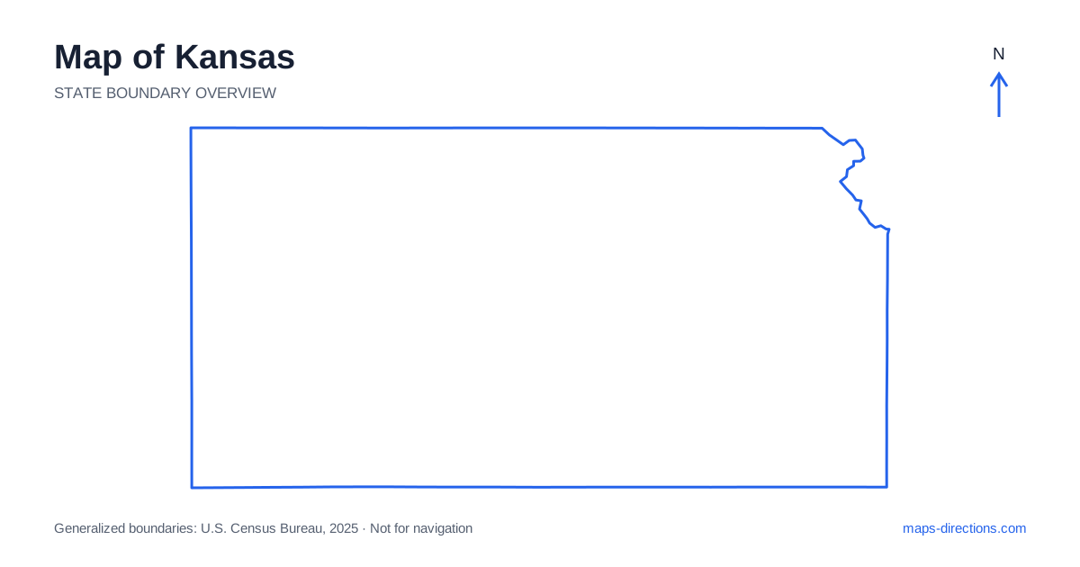
Kansas stretches across the central plains, but its map is more varied than a rectangle filled with straight roads. The eastern border includes river-shaped sections and the Kansas City metropolitan area, while Wichita anchors the south-central region. Topeka, Salina, Hays, Dodge City and Garden City supply useful reference points across the interior and west. Start by separating the urban east, central highway junctions and broad western plains. That regional framework helps explain where the main routes lead and where a seemingly short rural detour becomes a distinct leg of the journey.
Understand the rectangle and its eastern exception
Much of the Kansas boundary follows straight lines, with Nebraska to the north, Colorado to the west and Oklahoma to the south. Missouri lies along the eastern side, where the Missouri River shapes part of the northeastern boundary. This contrast between straight edges and a river edge is useful when placing the state within the wider plains region.
A road near a straight boundary may continue into the neighboring state without a major landscape change. A road near the river, however, needs a bridge or another specific crossing. Do not apply the same routing assumptions to both situations. For an eastern arrival, use the precise city and state in the destination address; a metropolitan label can cover communities on different sides of the boundary.
Place the capital and nearby cities correctly
Topeka is the capital and sits in the northeastern interior, west of the metropolitan border region. Lawrence lies farther east along the same broad river corridor, while Manhattan is farther west near the Flint Hills. These cities have distinct urban centers and approaches, even when they fit within a relatively compact portion of the statewide map.
A visit to one does not automatically make the others convenient local stops. Look at the actual highway and local road connection between the intended addresses. University campuses, government offices and downtown destinations often require a more specific arrival point than the city center shown on an overview. Choosing that point early helps determine whether an overnight base supports the planned sequence or creates repeated trips along the same corridor.
Follow the principal east-to-west route
Interstate 70 runs across the northern half of the state through the Topeka, Salina and Hays regions. It provides a strong orientation line for a cross-state drive, but it does not pass directly through every major southern city. The Kansas River is another important eastern feature, and its valley helps explain the placement of several communities without describing the entire interstate's route.
A destination south of the main corridor may require a substantial change of direction. Before adding it to an east-to-west journey, trace both the approach and the return connection. A road that looks like a small spur on the statewide view can represent a meaningful portion of the day's driving. Use a regional map to distinguish a stop genuinely beside the route from a separate excursion into another area.
Read Wichita as a southern hub
Wichita sits in the south-central part of the state along the Arkansas River and has its own metropolitan road network. Interstate 35 provides a major connection through the broader southeastern corridor, while Interstate 135 links the Wichita area northward with Salina and Interstate 70. That northbound link is particularly useful for understanding how the largest city relates to the main cross-state route.
Within the city, a riverfront destination, airport arrival and suburban address can involve different approaches. The map should therefore identify the actual facility or neighborhood before a route is selected. For a journey continuing into Oklahoma or toward the eastern cities, consider the departure direction as well as the overnight location. A central-looking hotel is not necessarily the most practical base for the next stage.
Distinguish prairie regions and western towns
The Flint Hills form a rolling grassland region in the east-central area, contrasting with the broad western plains. Roads through the hills may curve between ridges and valleys, and a scenic route is a different choice from a through-highway transfer. Emporia and surrounding communities provide useful orientation for parts of this region, but each rural destination still needs a precise access road.
Farther west, Dodge City and Garden City occupy different positions from Hays and the Interstate 70 corridor. A trip involving these southern and western towns should be drawn as a regional loop or sequence rather than assumed to follow one interstate. Distances between services and the suitability of smaller roads deserve attention when leaving the main highways. The apparent regularity of the landscape does not establish identical road conditions or facilities everywhere.
Make the broad scale visible in the itinerary
The most effective plan begins with the direction of travel: crossing the state, visiting the eastern cities, exploring the Flint Hills or reaching a western destination. Place overnight stops along that purpose before adding optional visits. This makes lateral detours visible and prevents an east-to-west journey from quietly turning into repeated north-to-south transfers.
For a Kansas map to become a useful travel plan, preserve the distinction between a main corridor and a local approach. Mark the actual river crossing, town entrance or rural destination, and use a closer view when the final road leaves the regional network. The state's clean outline provides easy orientation; its city locations, rivers and prairie regions provide the detail needed to connect places in a sensible order.