Map of Kansas City
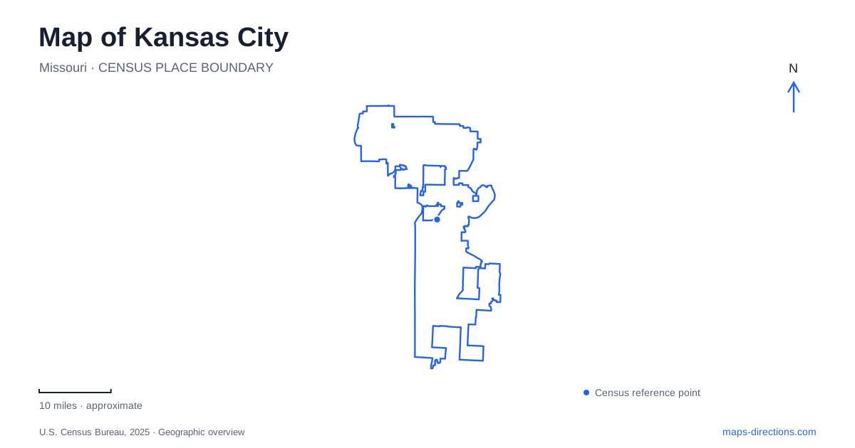
Street tiles load from OpenStreetMap when opened. The blue line shows the 2025 Census boundary.
- State
- Missouri
- Population · July 2025
- 521,220
- Land area
- 314.5 sq mi
- Water area
- 4.1 sq mi
Kansas City, Missouri, has a useful north–south sequence running from the riverfront through downtown and the Crossroads toward Union Station, Midtown, and the Plaza area. The Main Street corridor connects many of these places, while the rivers and state boundary add another layer of orientation. A local map should make both layers visible. The urban districts explain where a destination sits within the city; the state and river labels prevent a nearby regional place from being mistaken for the same municipality.
Begin with the state as well as the city name
The metropolitan area includes another Kansas City across the state line in Kansas. Kaw Point Park, for example, is at 1401 Fairfax Trafficway in Kansas, near the meeting of the Kansas and Missouri rivers. Its view toward the Missouri-side skyline can make it feel closely connected to downtown, but its address belongs to a different jurisdiction.
The confluence itself is a valuable geographic reference. The park stands on the north bank of the Kansas River just above its meeting with the Missouri. This distinguishes the two waterways and helps explain the broader regional shape. A riverfront destination should therefore be identified by its bank, nearby streets, and state, not simply by a general metropolitan label.
River Market and the riverfront are connected areas
River Market sits at the northern end of the traditional downtown sequence. City Market at Fifth and Walnut is a specific location within that neighborhood, while Berkley Riverfront is a separate destination nearer the Missouri River. The streetcar's expanded route map makes this distinction particularly clear.
Use the streetcar operator's route map to distinguish riverfront and UMKC services from older descriptions of a continuous ride around the River Market loop. For understanding the map, the significant point is the extension of the corridor beyond the market neighborhood. The market streets and riverfront are distinct destinations along the wider corridor rather than one interchangeable stop.
Temporary track work can alter how that corridor operates, so the route diagram should be read as the network's geography rather than a guarantee of uninterrupted service. The district names and street intersections remain useful references when comparing transit with walking or driving.
Main Street gives downtown a readable sequence
The central route map places the Library stop near Ninth and Main, the Power & Light area near Fourteenth and Main, and the Crossroads stop near Nineteenth and Main. Union Station appears at Pershing and Main. These numbered intersections give the downtown-to-station sequence a practical scale.
The Crossroads Arts District, convention area, Power & Light District, and Crown Center are separate labels on the official visitor map. Kansas City is easier to navigate when those districts are retained rather than compressed into a single downtown pin. A journey can pass through several of them while continuing along the same broad corridor.
Union Station is also a destination in its own right, containing Science City, the planetarium, and exhibition spaces. Nearby, the National WWI Museum and Memorial uses the address 2 Memorial Drive. The station and memorial form a recognizable group on the city map, but their individual sites and approaches remain distinct.
The museum area extends beyond a transit stop
Farther south, the Nelson-Atkins Museum of Art occupies a campus between Oak Street and Rockhill Road, with Forty-fifth Street to the north and Emanuel Cleaver II Boulevard to the south. The original museum building, Bloch Building, and outdoor sculpture park make this a landscape as well as an indoor cultural destination.
The museum identifies the Arterie pathway as the connection from the streetcar's Art Museums stop, passing the art institute and Kemper Museum. That connection explains how the transit corridor relates to a cluster of institutions beyond Main Street. For Kansas City visitors, the stop name is therefore a starting reference for a cultural area, not the front door of every museum within it.
The Donald J. Hall Sculpture Park contains pathways, lawns, trees, and large-scale artworks. Its outdoor arrangement encourages a different route from a visit focused only on the galleries. A campus map can preserve that distinction while still showing both as parts of the same institution.
Use the corridor without losing the wider city
The Main Street route continues toward the Plaza and the university area at Fifty-first and Brookside. This provides a clear framework for several central districts, but it represents one corridor within Kansas City, not the full extent of the urban area. Combining that sequence with the river confluence, state boundary, and individual museum landscapes produces a map that explains real local relationships rather than simply collecting attractions.
Map and statistics: U.S. Census Bureau, 2025 Gazetteer, January 2025 generalized place boundaries and Vintage 2025 population estimates. Local references: Friends of the Kaw; KC Streetcar Authority; Visit KC; Union Station Kansas City; National WWI Museum and Memorial; Nelson-Atkins Museum of Art. Article prepared by Maps & Directions.