Map of Kannapolis
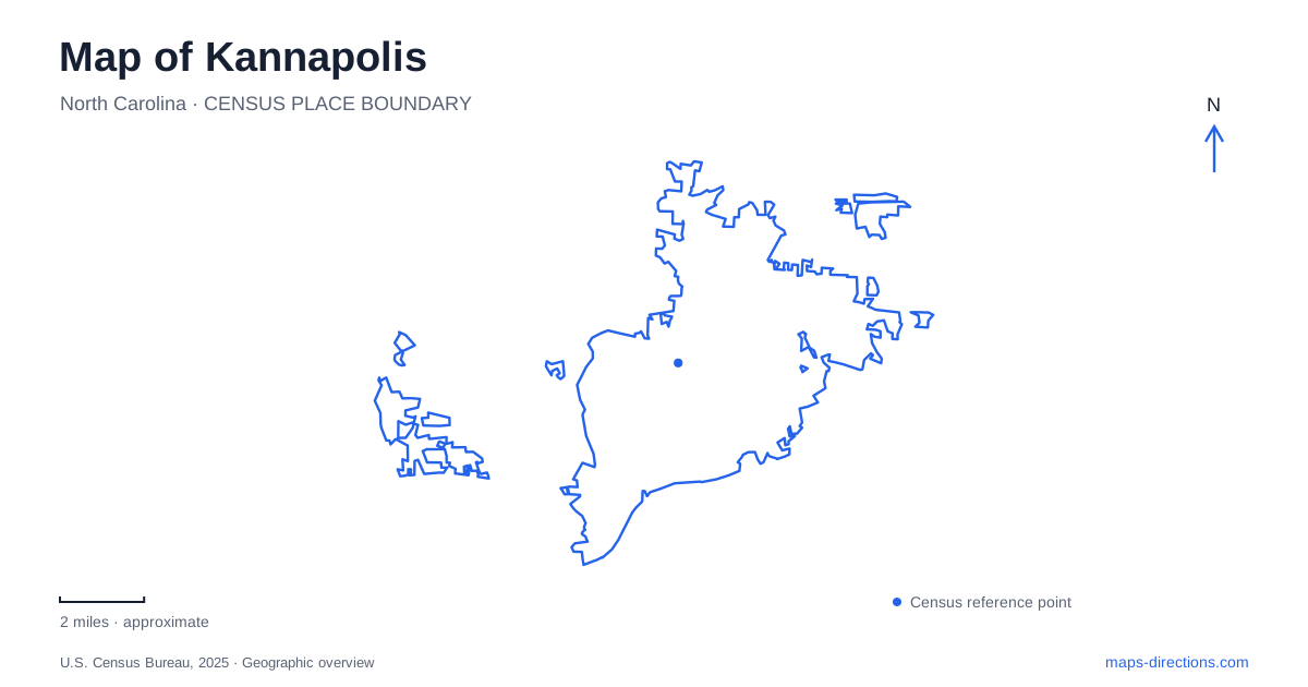
Street tiles load from OpenStreetMap when opened. The blue line shows the 2025 Census boundary.
- State
- North Carolina
- Population · July 2025
- 61,708
- Land area
- 35.1 sq mi
- Water area
- 0.8 sq mi
Kannapolis grew around textile manufacturing, and that history remains essential to reading its present-day center. The former mill landscape has become a research-campus setting, while nearby streets support shops, entertainment and a downtown ballpark. West Avenue, Main Street, Laureate Way and the creek greenways each describe a different part of this transition. The result is a city whose older industrial organization still helps explain the location of its newer destinations, even where the original factory buildings no longer define the view.
The mill was more than a workplace
The city's history records that Cannon Manufacturing began production in 1908 and that mill operations shaped housing, roads, recreation and services. That is why the center should be understood as the core of a company-built community rather than a shopping district that happened to sit beside a factory. Homes and civic amenities formed part of the same larger system.
The North Carolina Research Campus arose in place of the mill, according to the comprehensive plan. On a Kannapolis map, that replacement explains a conspicuous change of land use without a corresponding disappearance of the historic center. The campus is a major destination embedded in a town with older streets and community institutions around it. Its presence gives downtown a research identity alongside the textile heritage that established the original pattern.
West Avenue and Main Street organize different landmarks
The city identifies Atrium Health Ballpark on West Avenue, and the team's published address is 1 Cannon Baller Way. Main Street supplies another clear reference: Dale Earnhardt Plaza occupies the block between A and B Streets. These landmarks make the downtown street pattern readable without relying on a single generalized center point.
Laureate Way and Research Campus Drive appear alongside West Avenue in the city's downtown parking information. Together they connect the entertainment and campus vocabulary of the area. A Kannapolis visit can therefore involve both a traditional main-street setting and a larger institutional campus within a relatively concentrated center. The names indicate which part of that center an appointment, game or plaza visit belongs to.
The city's attraction information also places the Gem Theatre and Swanee Theatre among its downtown destinations. They add a cultural layer to the same central geography. A theater, ballpark and research building are not evidence of one uniformly designed district; they represent successive uses of a center that has continued to change around its existing street framework.
Village Park belongs to a larger walking circuit
Village Park is listed on West C Street. The city describes the combined Eighth Street and Bakers Creek greenways as a loop using Bakers Creek Park, West A Street, Eighth Street, Loop Road and Village Park. This sequence is useful because it shows how park space and ordinary streets participate in the same recreational circuit.
A walking map of Kannapolis can use that loop as a local-scale reference. The route is not simply a path around a single park boundary; it moves between destinations and changes its relationship with the street network. Bakers Creek Park and Village Park give it recognizable anchors, while West A Street and Loop Road explain how the pieces relate to the surrounding blocks.
The presence of this circuit also makes the greenway names meaningful. Eighth Street describes an urban connection, while Bakers Creek identifies a park and water-related corridor. Seeing both names on the map helps explain why a walk can move from street-adjacent space into a greener setting without becoming an entirely separate outing.
Irish Buffalo Creek extends the greenway story
The municipal greenway brochure identifies Irish Buffalo Creek's first developed phase between the Orphanage Road and Rogers Lake Road area, with access associated with Vietnam Veterans Park, Oakwood Avenue and nearby neighborhoods. It describes a paved route with pedestrian bridges. This is a different corridor from the downtown and Village Park loop, extending the recreational map into a broader neighborhood setting.
The same brochure distinguishes this existing route from future phases and identifies another separate greenway at Rocky River on Shiloh Church Road. These distinctions are geographically useful: the city's greenway system consists of several named pieces, not one uninterrupted finished path with a single starting point. Each name locates a different relationship among waterways, streets and parks.
Read the center and creeks together
The map of Kannapolis makes most sense when its central transformation and green corridors remain visible together. The research campus occupies the former industrial focus; West Avenue and Main Street identify major public destinations; Village Park participates in a local walking loop; and Irish Buffalo Creek supplies another neighborhood connection. This framework reveals a city developing new uses around both inherited streets and natural corridors, rather than a collection of unrelated attractions.
Map and statistics: U.S. Census Bureau, 2025 Gazetteer, January 2025 generalized place boundaries and Vintage 2025 population estimates. Local references: City of Kannapolis; Kannapolis Cannon Ballers. Article prepared by Maps & Directions.