Map of Jupiter
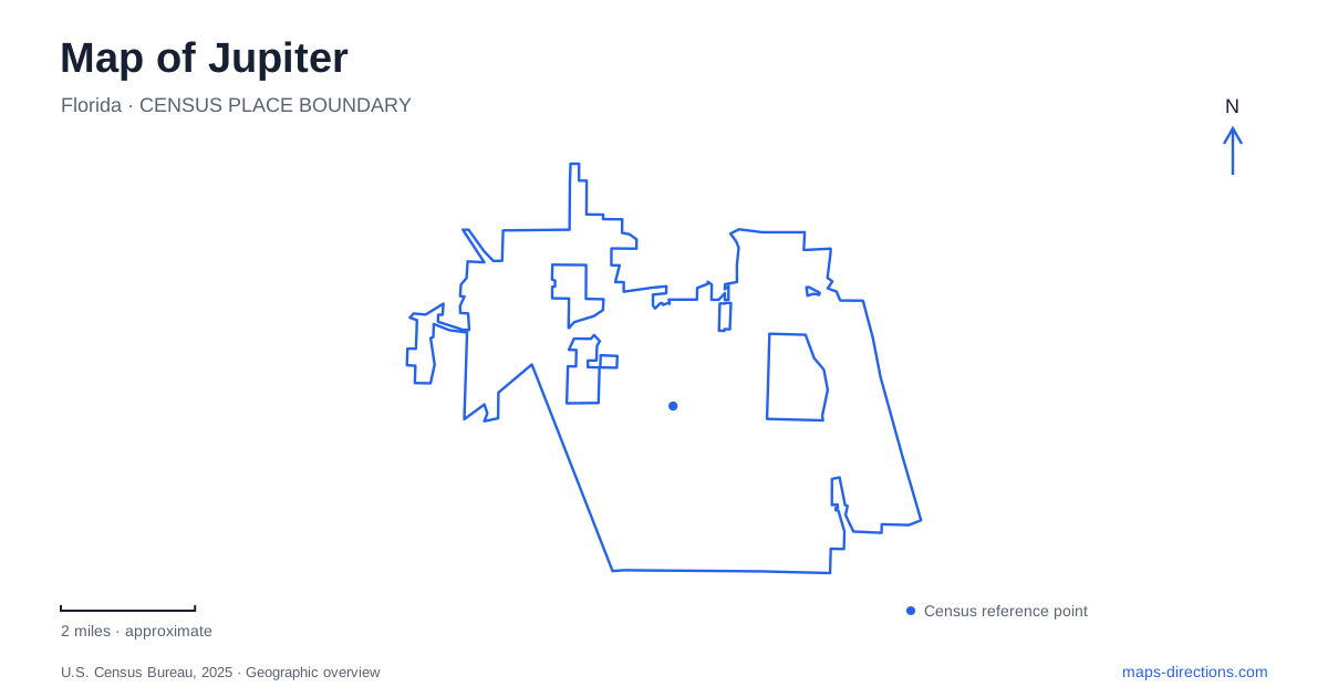
Street tiles load from OpenStreetMap when opened. The blue line shows the 2025 Census boundary.
- State
- Florida
- Population · July 2025
- 62,350
- Land area
- 21.6 sq mi
- Water area
- 1.5 sq mi
Jupiter is a place where a waterway map and a road map tell related but different stories. The Loxahatchee River, Intracoastal Waterway and Atlantic inlet create a coastal junction, while Indiantown Road connects inland and coastal destinations. A lighthouse view, an inlet-side walk and an inland river outing may all belong to one visit, yet none should be routed to an arbitrary point on the water. The most useful overview identifies which shore, which public access point and which travel mode each stop requires.
Three bodies of water meet at the coast
The town describes the inlet as the meeting place of the Loxahatchee River and Intracoastal Waterway with the Atlantic Ocean. That relationship is the essential orientation fact: river, sheltered waterway and open coast are not interchangeable settings. A map may place their labels close together while showing very different access routes and physical conditions.
On a Jupiter itinerary, separate a road destination beside the water from an activity on the water itself. A shoreline park, a marina and a kayak launch are distinct facilities even when they face the same channel. The town's waterway-trail information is a different planning tool from an ordinary driving map. Do not read a continuous blue line as a promise of a suitable paddling route or a substitute for checking the intended launch and conditions.
Read the Riverwalk legend before joining segments
The town's 2025 Riverwalk map distinguishes completed sections, future sections and connecting paths. It also explains that some links use sidewalks or public parks and that parts of the northern end remain to be completed. That is a material detail: the corridor should not be described as one uninterrupted finished waterfront promenade merely because its planned route appears on a map.
For a walk in Jupiter, select the segment you intend and read its current connections. The map identifies features such as Harbourside Place, Burt Reynolds Park, the event plaza and Ocean Way. The town locates the Plaza Down Under beneath the east span of the Indiantown Road bridge. These named points give a walk a real beginning and endpoint while preserving the distinction between a waterfront segment and a connecting street path.
The lighthouse has its own vehicle approach
The lighthouse operator specifically advises visitors using navigation to select the museum and verify the address as 500 Captain Armour's Way. Its directions describe an approach using Alternate A1A and Lighthouse Park. This is more precise than routing to a photograph location, an inlet overlook or a broad label for the surrounding natural area.
A Jupiter lighthouse visit should therefore use the operator's entrance information, even if the tower is visible from another waterfront destination. Visibility across water is not access across water. The final road approach and museum admission point belong to the visitor plan; a nearby shore with a good view solves a different purpose. Keeping the two separate is especially important when meeting someone who has selected a different lighthouse-related search result.
Riverbend is an inland river destination
Palm Beach County lists Riverbend Park at 9060 Indiantown Road and places its entrance on the south side of the road west of the I-95 and Florida's Turnpike exits. The park includes separate hiking and biking routes, equestrian trails and canoeing or kayaking opportunities. This is a different landscape from the inlet and Intracoastal corridor, even though the river provides a geographic connection between them.
Choose the activity first and then the relevant park access. A hiking meeting, an equestrian arrival and a launch plan may use different facilities within the same regional park. The county also distinguishes picnic areas with vehicle access from others reached by walking or cycling. That internal detail is easy to miss when the entire park appears as one green shape on a regional road map.
Build the visit around the correct shore and entrance
Indiantown Road is a useful common reference for the inland-to-coastal relationship, but it does not remove the need to select each destination individually. A finished Riverwalk segment, the lighthouse's published arrival and Riverbend's named entrance belong on the map as separate stops. Only then should the connecting route or order of visits be compared.
The map of Jupiter becomes much clearer when water geography and access instructions remain separate layers. The river and inlet explain the setting; public streets, completed paths and named facilities explain how a visitor reaches it. This approach preserves what makes the area distinctive without promising a continuous promenade, a direct crossing or a water route that the map has not actually established.
Map and statistics: U.S. Census Bureau, 2025 Gazetteer, January 2025 generalized place boundaries and Vintage 2025 population estimates. Local references: Town of Jupiter; Loxahatchee River Historical Society; Palm Beach County. Article prepared by Maps & Directions.