Map of Jonesboro
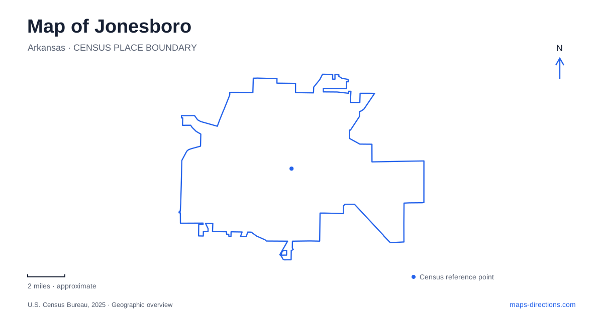
Street tiles load from OpenStreetMap when opened. The blue line shows the 2025 Census boundary.
- State
- Arkansas
- Population · July 2025
- 83,296
- Land area
- 80.2 sq mi
- Water area
- 0.6 sq mi
Jonesboro can be read through the different scales of its public destinations. Arkansas State University contains several cultural and event venues with separate campus addresses. Craighead Forest Park organizes recreation around a lake and a network of numbered access roads. The public library occupies another setting on West Oak Avenue. These places make a useful starting framework because they reveal how a campus, a large park and an individual city building require different kinds of map detail.
University Loop locates the museum and academic library
The A-State Museum gives its visitor address as 320 University Loop and describes its location beside the Dean B. Ellis Library. The university's physical-address directory lists that library at 322 University Loop West. These neighboring destinations form a recognizable academic and cultural cluster, with the library providing a useful campus landmark for a museum visit.
The museum interprets the natural history and cultural heritage of Northeast Arkansas and the northern Mississippi River Delta. That regional scope is worth remembering when reading a map of Jonesboro: exhibits about the Delta do not mean that every landscape represented lies immediately outside the museum. The building is a place to understand a wider region, while its campus address identifies the specific local destination.
The museum also publishes a separate shipping address on Pawnee Street through central receiving. That address serves deliveries rather than visitors. On a university campus, departmental contact information can contain a post-office box, a receiving facility and a public entrance address on the same page. Here, University Loop is the relevant reference for visiting the museum beside the library.
Olympic Drive contains two different event venues
First National Bank Arena is at 217 Olympic Drive. Fowler Center is at 201 Olympic Drive. The university's event calendars identify the two facilities separately, and its central box-office information places the box office at the arena's lower red entrance. A shared ticketing system therefore does not imply a shared performance building.
For a Jonesboro event trip, identify the venue on the ticket before selecting the destination. The difference between 201 and 217 is small numerically but meaningful spatially: one identifies Fowler Center and the other the arena. Olympic Drive supplies their common campus reference, while the building name determines which entrance instructions apply.
This distinction is especially helpful when planning a museum visit and an evening performance together. University Loop and Olympic Drive describe different parts of the campus experience. A general university result can help locate the institution within the city, but a campus-level map is needed to relate the museum, library, arena and performing-arts center to one another.
Craighead Forest uses the lake as its organizing feature
Craighead Forest Park is at 4910 South Culberhouse Road and occupies a Crowley's Ridge setting. The city's park history traces work on its lake to 1937. The lake remains the dominant feature on the published site map, with trails and recreation areas arranged around it. Unlike the campus, where building addresses provide the main framework, this landscape is best understood through its lake edge and internal access roads.
On a Jonesboro recreation map, distinguish the overall park destination from the particular activity area. The municipal site map associates Access Road 1 with Joe Martin Pavilion, Access Road 4 with the campground and bath house, and Access Road 5 with the splash-pad and playground area. These numbered roads are practical references for describing different parts of a large property without relying on an imprecise phrase such as “near the lake.”
The map also places the band shell, Fort Rotary Playground and sports facilities in the Access Road 6 area. A group gathering at a pavilion and a visit to the sports fields can therefore begin at different internal branches despite sharing the South Culberhouse address. The park map's numbered access system is useful for coordinating an outing before everyone arrives.
Trail inventories describe networks, not one continuous route
The city's parks master plan inventories the Craighead Forest Loop, park connectors, nearby sidepaths and the A-State Trail as distinct facilities. This is useful evidence of how walking and cycling opportunities are distributed across the city. A collection of trail segments should not automatically be read as one uninterrupted route between the university and the forest park.
For Jonesboro map reading, compare the actual junctions and street segments between named trails. A park loop serves movement within a recreation landscape, while a roadside path may serve a connection beyond it. Their presence on the same citywide inventory does not erase those different functions. The map legend and individual segment names help separate a self-contained outing from a journey between districts.
West Oak Avenue identifies the public library
The public library's main local address is 315 West Oak Avenue. It is separate from the university's Dean B. Ellis Library on University Loop. Keeping those two names attached to their streets resolves a common institutional ambiguity: “the library” can refer to a public community facility or an academic campus building. Together with Olympic Drive and the forest park's access roads, these specific references provide a grounded way to understand the city's destinations.
Map and statistics: U.S. Census Bureau, 2025 Gazetteer, January 2025 generalized place boundaries and Vintage 2025 population estimates. Local references: Arkansas State University; City of Jonesboro; Craighead County Jonesboro Public Library. Article prepared by Maps & Directions.