Map of Joliet
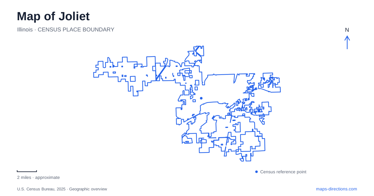
Street tiles load from OpenStreetMap when opened. The blue line shows the 2025 Census boundary.
- State
- Illinois
- Population · July 2025
- 152,241
- Land area
- 66.3 sq mi
- Water area
- 0.7 sq mi
Joliet's geography combines the Des Plaines River valley, limestone bluffs, industrial land and a major railway junction. Those features are closely related. Local stone supplied buildings, transportation corridors supported manufacturing, and residential districts developed above the river. A useful map therefore reveals more than individual landmarks: it shows the physical resources and connections that made those landmarks possible. The contrast between the Upper Bluff neighborhood, former ironworks and railway complex is particularly informative.
Reading the slope west of the river
The Upper Bluff Historic District occupies higher ground west of the Des Plaines River. Its setting is a second succession of dolomite limestone bluffs, with streets responding to the sloping terrain. Western Avenue links the neighborhood toward downtown through the Cass Street bridge, establishing an important relationship between the residential heights and the river crossing.
Whitney and Buell avenues contain wedge-shaped lots created by the curving street pattern. Some houses stand above steep grades rising from the sidewalk, giving their architecture a prominence that would be less obvious on level ground. The shape of the land thus helps explain the appearance of the neighborhood as much as the architectural styles do.
Most historic houses here date from roughly 1850 to 1930. Frame construction and clapboard siding are common, often supported by limestone foundations. Queen Anne, Prairie, Colonial Revival and other styles appear across the district. The city of Joliet preserves this area as a residential landscape whose street geometry, lots and buildings work together.
Foundations beside the canal corridor
The Iron Works Historic Site occupies fifty-two acres along the Des Plaines River, with access from Columbia Street east of Route 53 and Scott Street. Surviving foundations mark the former blast furnaces and associated industrial structures. A paved interpretive route of just over half a mile explains the layout, while the adjoining I&M Canal Trail connects the site with a longer recreational corridor.
The factory began operating in the nineteenth century and closed in 1933. Its machinery and usable components were subsequently dismantled, leaving the foundations that now form an industrial archaeological landscape. The canal, river and railway lines together explain the choice of location: manufacturing depended on moving heavy materials as well as on production inside the plant.
The preserve opened in 1998 after acquisition and archaeological work revealed structures hidden by vegetation and accumulated soil. Its interpretation includes the workers who operated the plant, many of them immigrants. That human history gives the concrete and stone remains meaning beyond their unusual appearance. Visitors follow the designated trail rather than climbing on the ruins.
A railway tower within a modern station
At 90 East Jefferson Street, the Railroad Museum occupies Union Depot Tower within the Gateway Center Train Station. The preserved tower dates to approximately 1913 and was used to coordinate movements through the railway intersection. Its controls and mechanisms make a complicated transport junction understandable at the scale of a single building.
The museum also interprets the 1910–1912 realignment and elevation of the tracks, a project that included the historic Union Station and tower. This work changed how railway lines crossed the city and interacted with its streets. On a map of Joliet, the rail complex is therefore both a current transportation destination and evidence of an earlier engineering effort to organize intersecting routes.
The tower's relationship to the modern station is particularly distinctive. It was preserved within a continuing transport setting, allowing the earlier system for controlling trains to be understood beside the infrastructure that still carries them.
Stone walls on Collins Street
The former prison at 1125 Collins Street adds another use of local limestone to the map. Prisoners arriving in 1858 helped construct the institution, including quarrying stone from nearby deposits. The buildings consequently connect the history of incarceration with the same geological resources visible in other parts of the city.
Old Joliet Prison continued operating until 2002, long after the construction of Stateville to the north in what is now Crest Hill. Those are separate institutions, and the Collins Street historic site has its own location and interpretation. Preservation work now determines which parts of the old complex can be visited, with the operator supplying a current site map at check-in.
The prison, tower, ironworks and bluff district describe different aspects of Joliet without reducing it to a single industrial story. Together they show how stone, water, transport engineering and human labor shaped both monumental buildings and ordinary residential streets.
Map and statistics: U.S. Census Bureau, 2025 Gazetteer, January 2025 generalized place boundaries and Vintage 2025 population estimates. Local references: City of Joliet; Forest Preserve District of Will County; Joliet Area Historical Museum; Old Joliet Prison Historic Site. Article prepared by Maps & Directions.