Map of Jersey City
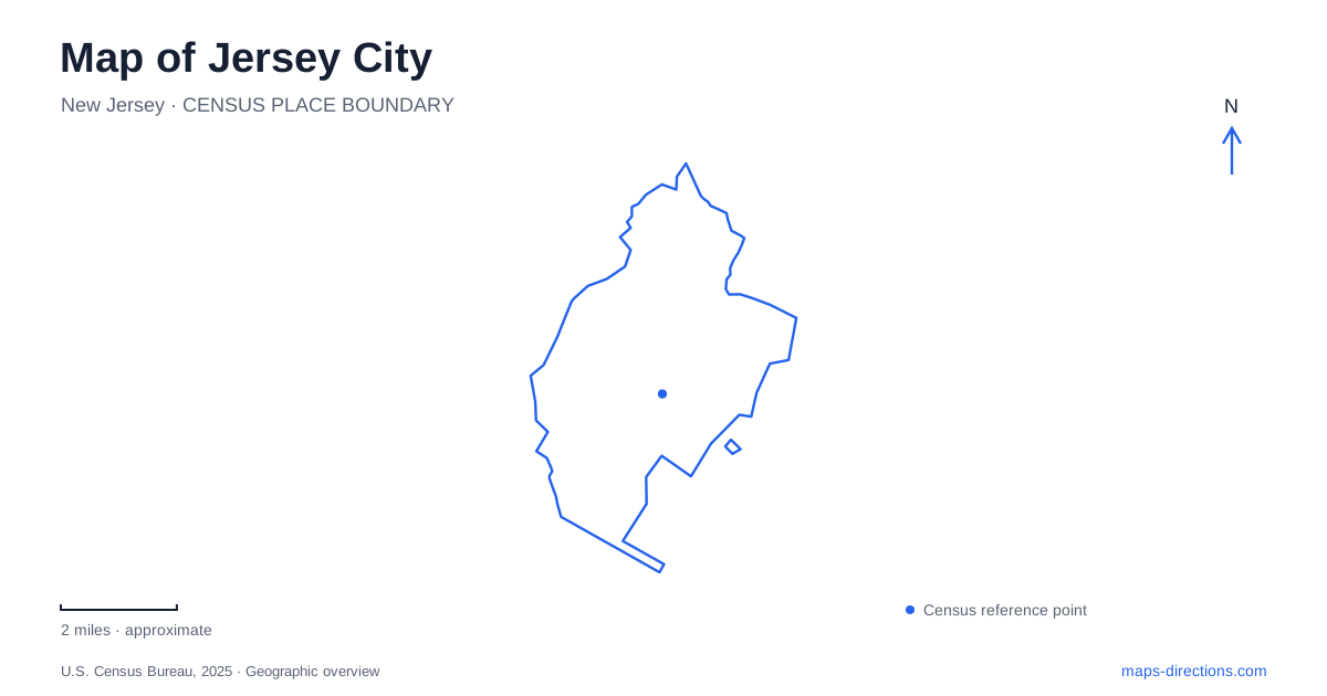
Street tiles load from OpenStreetMap when opened. The blue line shows the 2025 Census boundary.
- State
- New Jersey
- Population · July 2025
- 302,013
- Land area
- 14.7 sq mi
- Water area
- 6.3 sq mi
Jersey City is best understood through both its waterfront connections and its inland neighborhoods. The Hudson River side faces Manhattan, but another river landscape appears at Lincoln Park West beside the Hackensack. Between those edges are historic residential districts, transport centers and surviving industrial landmarks. A map that shows only the skyline misses much of this structure. The useful distinction is between places shaped by harbor travel, blocks organized around nineteenth-century squares, and larger open spaces whose paths follow a different pattern from the street grid.
The terminal and the harbor
The Central Railroad of New Jersey Terminal stands at the northern end of Liberty State Park, at 1 Audrey Zapp Drive. Built in 1889, it connected rail travel with ferry journeys across the harbor. Commuters passed through on their way to Manhattan, while immigrants arriving through Ellis Island continued inland by train. That combination explains why a substantial railroad building occupies a waterfront setting rather than an inland rail junction.
The surviving terminal gives Jersey City a particularly tangible connection to regional migration and transportation. Its architecture can be appreciated as part of a larger system: railroad tracks brought passengers toward the water, ferries carried them across it, and newly arriving residents began another stage of travel here. The building's historical importance therefore extends beyond its immediate park surroundings. It represents the point at which different transport networks and very different personal journeys met.
A park with a long waterfront and a western destination
Liberty State Park's Hudson River Waterfront Walkway runs for about two miles, connecting the terminal, nature center and picnic and playground areas. Open fields and additional paths extend the recreational landscape inland. The Empty Sky memorial and Liberty Landing Marina occupy the northern portion, while Liberty Science Center is in the western part of the park. These positions help explain why a single park name can encompass substantially different outings.
The views include Manhattan, the Statue of Liberty and Ellis Island. Ferry service to the two islands departs from the park, so a waterfront walk and an island visit share a departure area but involve different arrangements. Someone planning a day here can organize it around the promenade, a museum visit or a harbor crossing. Recognizing those three possibilities is more useful than assuming every feature sits beside the terminal.
Residential squares and protected districts
Downtown's street plan dates to 1804, although its execution continued into the nineteenth century. Residential grids were interspersed with squares and crossed by commercial streets. Paulus Hook, Hamilton and Van Vorst were important organizing spaces in that development. The town of Van Vorst, incorporating areas now associated with several downtown districts, joined the municipality in 1851.
Today, Jersey City identifies five local historic districts: Hamilton Park, Harsimus Cove, Paulus Hook, Van Vorst Park, and West Bergen–East Lincoln Park. The names describe protected areas with specific boundaries, not simply any nearby block with an old building. Reading the squares and surrounding streets together reveals a residential history alongside the harbor's industrial one. The downtown pattern developed through separate communities and stages of construction, which helps explain why familiar neighborhood names continue to carry meaning within a relatively compact area.
Rail stations as a second set of reference points
PATH serves four stations within Jersey City: Journal Square, Grove Street, Exchange Place and Newport. These provide another useful framework for understanding local travel because the station names recur in directions, neighborhood descriptions and regional rail information. Journal Square Transportation Center is addressed at One PATH Plaza, and its role extends beyond a single street-level stop.
The rail network connects destinations on both sides of the Hudson, including World Trade Center and Manhattan stations farther north. The service map is therefore different from a road map: a short-looking cross-river movement can be organized around a rail connection, while an inland destination may require a local continuation. Station choice should follow the district being visited. Using the same station for every outing would obscure the range of places served by the system.
The western park landscape
Lincoln Park adds a substantial open-space setting on the other side of Jersey City. County materials divide its roughly 273 acres into an eastern portion of about 150 acres and a western portion of 123 acres beside the Hackensack River. Athletic facilities, historic monuments and winding paths characterize the eastern park; the western river setting introduces a different landscape.
This division is useful when comparing parks across the city. Liberty State Park's terminal and harbor frontage tell one story about transport and public space. Lincoln Park's two-part layout provides another, with recreation and a river edge oriented toward the west. Together with the historic squares and PATH stations, these parks make the city readable as a collection of connected neighborhoods rather than merely a viewing platform for the opposite shore.
Map and statistics: U.S. Census Bureau, 2025 Gazetteer, January 2025 generalized place boundaries and Vintage 2025 population estimates. Local references: New Jersey Department of Environmental Protection; City of Jersey City; Hudson County Tourism; Port Authority of New York and New Jersey; NJ Transit; Hudson County; Hudson County Parks System. Article prepared by Maps & Directions.