Map of Jeffersonville
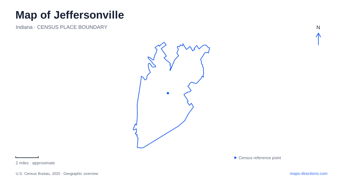
Street tiles load from OpenStreetMap when opened. The blue line shows the 2025 Census boundary.
- State
- Indiana
- Population · July 2025
- 54,134
- Land area
- 34.1 sq mi
- Water area
- 0.3 sq mi
Jeffersonville faces Louisville across the Ohio River, but its map tells more than a story of two downtowns opposite one another. A former railway bridge now carries walkers and cyclists, interstate bridges carry directional traffic, and East Market Street leads toward a waterfront shaped by boat construction. Spring Street supplies the commercial center within this river-oriented arrangement. Begin with those different functions and the waterfront becomes much easier to understand: crossing the river, following its bank, and exploring the older business district are three distinct journeys.
A railway crossing turned public space
The Big Four Bridge reaches the Indiana bank at Big Four Station Park, near Market and Mulberry streets. Its name comes from the Cleveland, Cincinnati, Chicago and St. Louis Railway. Completed in 1895 and subsequently altered, the structure now serves pedestrians and bicycles. The Indiana approach opened in May 2014, followed by the park that October. This chronology explains why a historic industrial structure connects so naturally with a civic landscape from a later period.
In Jeffersonville, the long approach and the park form part of the experience rather than merely the end of a bridge. The green space contains a pavilion, playground, fountains, and restrooms. Market Street provides a useful relationship between the landing and the adjoining downtown blocks. Someone arriving on foot from Kentucky emerges into a public gathering place with shops nearby, rather than into the highway system used by motorists crossing the same river.
Spring Street and the older commercial city
The municipal historic-district study identifies Spring Street as a concentrated commercial corridor that became particularly important in the late nineteenth century. Banks, newspapers, stores, and fraternal organizations occupied this business spine. Masonry construction and metal storefront details expressed both commercial ambitions and changing building practices. The street therefore offers a more legible introduction to the old retail district than treating every waterfront block as interchangeable.
The Southern Indiana Visitor Center occupies 228 Spring Street, Suite 106, with another exit toward Market Street. That corner relationship helps place the bridge park within the shopping district. The center is a practical orientation point because the riverfront, bridge landing, and commercial street are close enough to consider together. Historic Jeffersonville developed through river and railway connections; the surviving street pattern lets a visitor read that transportation history at the scale of individual blocks rather than only through distant bridge views.
The shipbuilding landscape east along Market Street
The Howard Steamboat Museum stands at 1101 East Market Street in an 1894 mansion built beside the family shipyard. Its elaborate woodwork reflects skills also employed in boat construction. This is an unusually direct relationship between an industrial workplace and a surviving domestic landmark: the house helps explain the waterfront economy through the people and crafts associated with it.
The adjoining yard's later identity was Jeffboat, and boatbuilding there ended in April 2018. A map showing that industrial name should therefore be read historically, not as evidence of an operating shipyard. The mansion and former production grounds belong to the same story but have different uses today. Check the museum's tour arrangements before planning a walk-in visit; private, group and public tours may use different booking procedures. Its presence on an itinerary is a reason to arrange the desired visit, not an assurance that the front door will be open on arrival.
River crossings have separate roles
For a driving map of Jeffersonville, distinguish the Abraham Lincoln Bridge from the parallel John F. Kennedy Memorial Bridge. The Lincoln carries northbound I-65 traffic; the Kennedy carries southbound traffic. Both are part of the RiverLink toll system. Their adjacency can make them appear to be one crossing at a broad map scale, although their directional functions are fundamental to a route.
The Lewis and Clark Bridge is a separate tolled crossing approximately eight miles upstream, connecting the eastern metropolitan area between Utica and Prospect. It is not the downtown pedestrian bridge. This wider river geography matters when a trip combines the central waterfront with destinations farther east: the nearest visible bridge and the relevant regional crossing may serve entirely different travel patterns.
An inland lake changes the scale
Chapel Lake Park shows another side of Jeffersonville away from the compact riverfront. Its main entrance is at 5801 New Chapel Road, while the disc golf entrance is at 429 Lewman Way. The park includes a paved walking circuit, grass trails, a lake, and an eighteen-hole disc golf course established in 2024. Fishing follows a licensed catch-and-release program.
The two approaches correspond to different parts of the recreational grounds, with disc golf occupying the back portion. Together, Chapel Lake, Spring Street, the bridge landing, and the Howard mansion establish four useful reference points. They reveal a city whose public spaces extend from an old working riverbank into inland neighborhoods, while preserving the distinctive connections between commerce, transportation, and recreation that created its present map.
Map and statistics: U.S. Census Bureau, 2025 Gazetteer, January 2025 generalized place boundaries and Vintage 2025 population estimates. Local references: Jeffersonville Main Street; City of Jeffersonville; SoIN Tourism; Howard Steamboat Museum; RiverLink; Indiana Department of Transportation; City Parks Department. Article prepared by Maps & Directions.