Map of Janesville
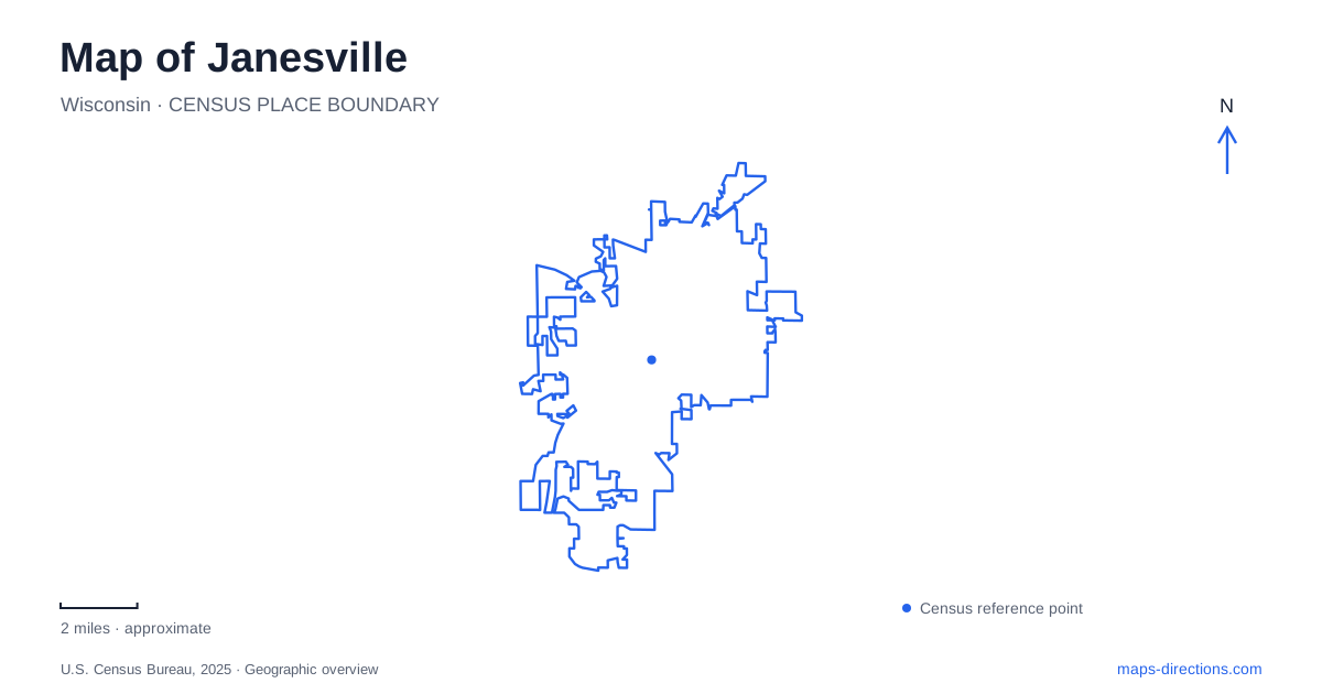
Street tiles load from OpenStreetMap when opened. The blue line shows the 2025 Census boundary.
- State
- Wisconsin
- Population · July 2025
- 66,929
- Land area
- 34.6 sq mi
- Water area
- 0.6 sq mi
Janesville is easiest to understand through the different landscapes gathered around the Rock River: boat landings and performance water, a historic house campus, formal gardens and trails that continue toward neighboring communities. These places share a river-city setting without forming a single interchangeable recreation district. A useful map shows how Jackson Street, Palmer Drive, Rockport Road and County Highway A lead into distinct experiences.
River parks with different roles
Traxler Park has two separately described large-boat launch locations. The central launch sits at the north end of the main park and serves the Rock Aqua Jays for shows and practices. The northern launch is reached from Sherman Avenue, just north of Veterans Memorial Bridge. Its piers, trailer parking and picnic facilities make that crossing a helpful reference when comparing the two river access points.
Riverside Park adds another large-boat option, with two piers and a floating mooring dock in the middle of the park. Smaller craft have additional choices: the municipal list identifies canoe and kayak access at Town Square, South River Street, Rockport Road and the east side of Monterey Park. This distribution matters because an outing on the water can start in a civic setting, an established river park or farther along the parkway. It need not revolve around a single launch symbol.
A history campus on North Jackson Street
The Lincoln-Tallman House gives Janesville a historical anchor away from the boat facilities. Rock County Historical Society directs visitors to its campus at 426 North Jackson Street and offers guided house tours. The residence predates the Civil War and hosted Abraham Lincoln overnight, making it a place to examine domestic history alongside a nationally recognizable association.
The campus arrangement also allows different kinds of history visits. A house tour concerns rooms, furnishings and the lives connected with a particular residence, while the historical society's archives serve people investigating a much broader county story. Those are distinct purposes even though their destinations share an institution. For visitors with mobility needs, the society identifies an accessible visitor center and a lift serving the house's ground floor. That specific description is more useful than assuming that every floor of a historic residence has equivalent access.
Gardens along Palmer Drive
At 1455 Palmer Drive, Rotary Botanical Gardens concentrates numerous designed landscapes into twenty acres. Japanese, French Formal and English Cottage collections provide contrasting ways to arrange plants, paths and views. Native perennials and international collections coexist here, so the garden can be read as a sequence of deliberate settings rather than one undifferentiated green space.
This is a different outdoor destination from the river launches. The attraction is the relationship between plant collections and garden design, with a local garden map helping visitors decide which sections to explore. Janesville also has municipal recreation along Palmer Drive: the parks inventory places Lions Pond at 1400 and the Spring Brook Preservation Area at 1401. Seeing those separate names beside the botanical garden explains why the road appears repeatedly in outdoor itineraries. The shared street does not make every parcel part of the garden's collection or admission area.
Trails that reveal a wider landscape
The city's adopted 2024 park plan describes the Peace Trail from the Rockport Road and South Franklin Street area through Monterey and Rockport parks, then down the western riverbank toward Tripp Road. Paving completed in 2022 extended the connection from Tripp Road to Big Hill Park in Beloit. That history places Janesville within a regional river corridor rather than leaving its trails isolated at the municipal edge.
The same plan distinguishes the Spring Brook corridor and a northeastern route toward Milton on a former railroad bed. These alignments have different origins: one follows a creek landscape, another adapts railway infrastructure, and the Peace Trail works with the river. Looking for those underlying features makes their shapes easier to understand than treating every trail line as a parallel substitute for a street.
The arboretum beyond the city boundary
Robert O. Cook Memorial Arboretum is municipally owned but lies outside the city at 3550 West County Highway A. Its forest, prairie and wetland environments contrast with the concentrated planting designs on Palmer Drive. The site also supports the local schools' outdoor laboratory, giving its landscape an educational role alongside public recreation.
For a Janesville map, that ownership distinction is instructive: civic destinations can extend beyond the boundary shown around the built-up city. North Jackson Street supplies a historical focus, Palmer Drive a garden-and-park cluster, and County Highway A a more natural landscape. The river and its trails connect another set of experiences altogether, providing several coherent ways to organize a visit without flattening them into one downtown stop.
Map and statistics: U.S. Census Bureau, 2025 Gazetteer, January 2025 generalized place boundaries and Vintage 2025 population estimates. Local references: City of Janesville; Rock County Historical Society; Rotary Botanical Gardens. Article prepared by Maps & Directions.