Map of Jacksonville
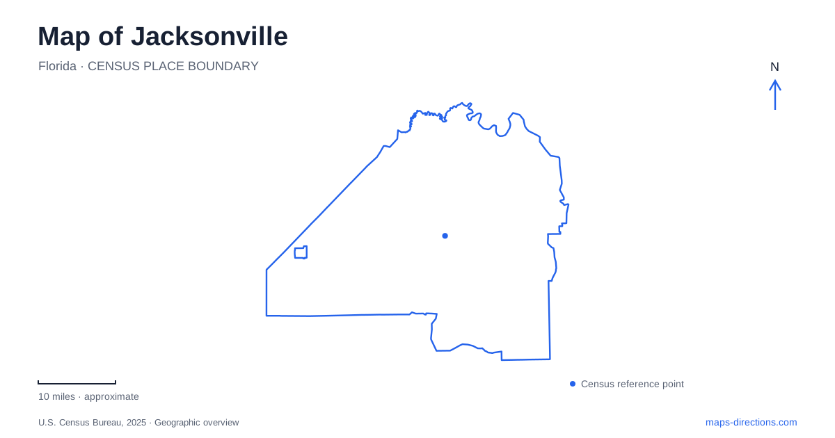
Street tiles load from OpenStreetMap when opened. The blue line shows the 2025 Census boundary.
- State
- Florida
- Population · July 2025
- 1,017,689
- Land area
- 747.3 sq mi
- Water area
- 127.1 sq mi
Jacksonville's map is shaped by water at several scales: the St. Johns River through downtown, the Atlantic shoreline farther east and the island-and-marsh landscape around Fort George Island. These settings require different arrival decisions. A downtown riverwalk address is not a beach address, and a coastal historic site may involve an island road rather than an urban waterfront street. Sorting those settings first makes the city's broad outline much more useful.
Downtown has two named banks
The city identifies the Southbank Riverwalk at Museum Circle, facing the downtown skyline across the St. Johns. Northbank destinations occupy the opposite side. Those names should remain part of a meeting instruction, because a place that looks close across the river can require a bridge connection. The water between two symbols is a route constraint, not empty map space that can be crossed at any point.
For a Jacksonville riverfront walk, select a named starting place on the intended bank. Friendship Fountain is a Southbank reference in the official visitor guide, while the Riverfront Music Garden is identified on the Northbank. Keeping such landmarks with the itinerary is more informative than saving a broad Riverwalk result. It gives a group a shared arrival point even if each person approaches from a different part of the city.
The Northbank connects toward Riverside
The city's downtown development authority describes the Riverfront Music Garden as part of the Northbank connection between the area near the Main Street Bridge and the Fuller Warren Bridge and Riverside Arts Market. This relationship helps place Riverside on a wider riverfront map rather than treating every riverwalk label as a point directly opposite the Southbank.
A walking plan should identify which portion of that corridor is intended and where the return journey begins. Starting near a bridge and finishing farther along the bank is different from making a short loop beside one attraction. Consult current access information for the chosen segment, particularly where projects affect the riverfront. An overview establishes the corridor's shape, while access notices describe whether the intended connection is available on the day.
Beach names narrow the coastal search
The official tourism guide distinguishes Atlantic Beach, Neptune Beach, Mayport and the island beaches farther north. It places Hanna Park between Atlantic Beach and historic Mayport Village. These names are useful because the coast contains several separate arrival areas. A route for an oceanfront park is not necessarily the route for a village destination or an island beach with a different approach.
When planning Jacksonville coastal stops, keep the full park or beach name rather than shortening every destination to “the beach.” A waterfront label can span a long area, and the actual public access may occupy only a particular street or entrance. This becomes especially important near the river mouth, where a route choice must account for water crossings instead of following the apparent shortest line along the shore.
Fort George Island is its own destination
Kingsley Plantation is on Fort George Island, north of the St. Johns River, and the National Park Service gives its visitor address as 11676 Palmetto Avenue. The island setting is essential to understanding the trip. A search for the wider Timucuan Preserve may not identify this particular historic site, while an administrative address for the preserve can lead somewhere else entirely.
The park service distinguishes Palmetto Avenue, an unpaved road that can be rough, from paved Fort George Road, which can be affected by flooding during weather events and extreme tides. These details make road choice more than a matter of a few turns. Check the site's current directions and conditions before treating a navigation recommendation as suitable for every vehicle or every day.
Heckscher Drive connects the wider coastal landscape
The park service's directions use Heckscher Drive for the approach to Fort George Island and refer to the nearby ferry landing as a landmark. Its route description from Amelia Island follows A1A across Big and Little Talbot islands. These named connections explain why a northern coastal outing has a different geographic structure from a downtown visit.
For Jacksonville visitors using a rideshare service to reach the plantation, the park service advises arranging the return in advance because securing a pickup can be difficult. Retain the return location and plan with the arrival address. A successful outward route does not by itself establish a reliable way back from a more isolated site, even when the location remains within the city's wider geography.
A Jacksonville itinerary is clearest when it separates downtown banks, oceanfront destinations and the Fort George Island approach. The map can then answer the right questions: which riverbank, which beach entrance and which road to the historic site. Keeping those details attached to each destination makes the journey understandable without relying on a generic waterfront pin or an assumed direct connection across the water.
Map and statistics: U.S. Census Bureau, 2025 Gazetteer, January 2025 generalized place boundaries and Vintage 2025 population estimates. Local references: City of Jacksonville; Visit Jacksonville; Downtown Investment Authority; National Park Service. Article prepared by Maps & Directions.