Map of Irvine
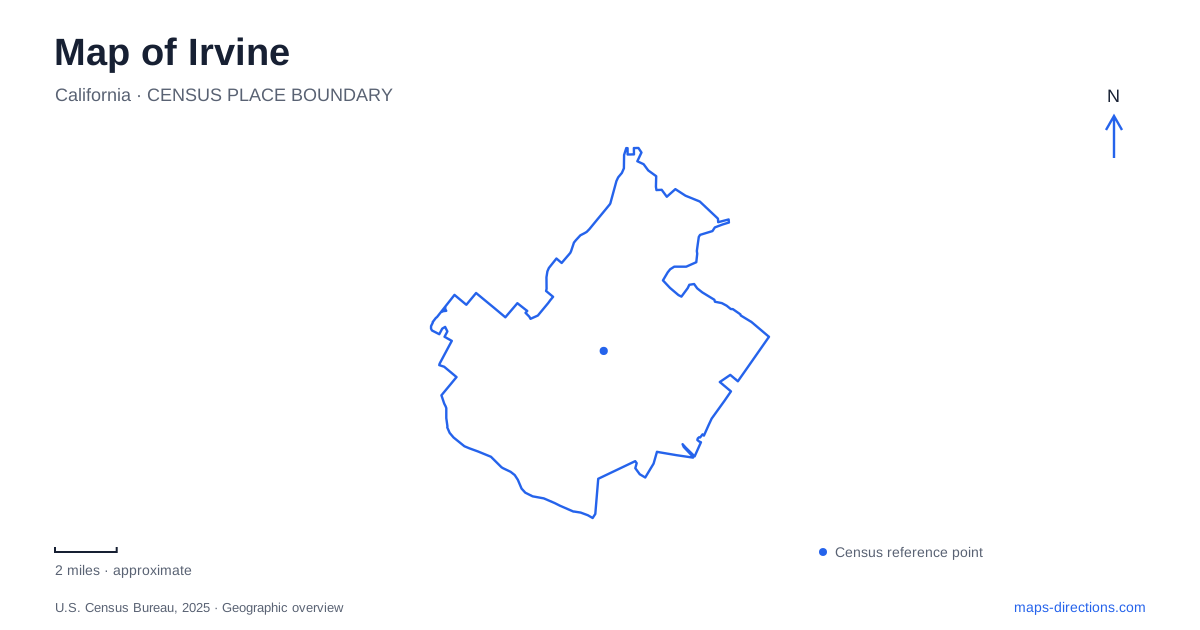
Street tiles load from OpenStreetMap when opened. The blue line shows the 2025 Census boundary.
- State
- California
- Population · July 2025
- 318,764
- Land area
- 65.6 sq mi
- Water area
- 0.3 sq mi
Irvine contains several landscapes designed for very different purposes: a university organized around a central park, a former military airfield becoming a major public destination, wetlands that clean runoff, and protected hills with managed trails. These areas give the city a geography that cannot be explained by road names alone. Their internal paths, open spaces, and historical functions are often the most useful clues to how each place works and how it connects with the surrounding neighborhoods.
A campus organized around a green center
Aldrich Park forms the heart of the university campus. First chancellor Daniel G. Aldrich and the early planners chose a circular arrangement, placing academic schools around a central green space. Ring Road encircles that park, with most undergraduate schools located along it. The design deliberately gives the campus a shared center rather than a single straight main street.
The park covers approximately 19 acres and was named for Aldrich after his retirement. East and West Peltason drives form another surrounding reference for the academic core. These concentric relationships matter when reading the campus map: the pedestrian circuit and the streets around it serve different scales of movement. A building on the far side of the park may be reached by crossing the central landscape or following the ring, rather than tracing an ordinary rectangular block pattern.
This planned center is one of Irvine's clearest examples of landscape shaping everyday circulation. The open ground is not leftover space between buildings; it is the feature around which the university was arranged.
From agricultural fields to an air station
The Great Park occupies land associated with the former Marine Corps Air Station El Toro. Before the military base, agricultural uses included extensive lima bean fields. Base construction began in August 1942, and the station trained pilots, aircrews, and ground personnel during the Second World War. It later remained an active military installation until closing in July 1999.
The site's conversion to public and mixed uses retains visible evidence of that earlier purpose. Repurposed military structures form the Palm Court Arts Complex, while Hangar 244 presents historical photographs, displays, and artifacts. These buildings make the agricultural and military chapters part of the contemporary park experience.
On an Irvine map, the Great Park's scale and building arrangement reflect this unusual inheritance. It began with land and infrastructure intended for aviation, unlike a neighborhood park laid out among residential blocks. Its historical structures provide useful anchors within a public landscape that continues to develop.
Wetlands with a water-treatment role
San Joaquin Marsh lies along Riparian View and encompasses more than 300 acres of coastal freshwater wetlands. The water district established the marsh in 1997 as a natural treatment system. Water from San Diego Creek moves through ponds where plants and soils help remove pollutants before the flow reaches environmentally sensitive Upper Newport Bay.
The marsh also supports wildlife and public observation, with twelve miles of walking trails and more than 300 bird species recorded. This combination explains its appearance on the map: multiple ponds and connecting embankments reflect a working water system as well as habitat. The paths allow people to explore that system without treating the wetlands as ordinary lawns or sports grounds.
Its visitor address is 5 Riparian View. For understanding Irvine's environmental geography, the key connection extends beyond that address: runoff from urban areas passes through the marsh and influences waters farther downstream. The site makes that watershed relationship visible within the city.
Quail Hill and the southern open spaces
The Quail Hill trailhead sits at the end of Sand Canyon Road and provides access to a two-mile natural-surface loop at the foot of the hill. It also serves as a starting place for guided activities in the southern wilderness. The loop offers a defined introduction to the terrain without requiring a longer journey through the preserve.
The broader open-space system includes Bommer Canyon, Shady Canyon, and Orchard Hills as well as Quail Hill. These are protected habitats with a mixture of self-guided access and organized programs. That arrangement reflects conservation requirements, so a visible trail line does not necessarily imply unrestricted access throughout every connected area.
Bommer Canyon also contains the Cattle Camp picnic area, preserving a ranch-related name within the recreational landscape. Together with the former agricultural fields at the Great Park, it helps keep an earlier land-use history present in today's city. An Irvine map becomes more meaningful when these protected hills, working wetlands, university circles, and reused military buildings are understood as distinct landscapes with specific functions, rather than simply as open areas between roads.
Map and statistics: U.S. Census Bureau, 2025 Gazetteer, January 2025 generalized place boundaries and Vintage 2025 population estimates. Local references: UC Irvine; City of Irvine; Irvine Ranch Water District. Article prepared by Maps & Directions.