Map of Iowa
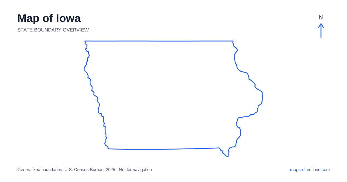
Iowa is framed by major rivers on the east and west, with a rolling agricultural interior between them. Des Moines sits near the center of the main road network, while Cedar Rapids, Davenport, Sioux City and Council Bluffs orient other regions. The state is often imagined as uniformly flat, but its river valleys and northeastern bluffs create a more varied map. Begin with the two river boundaries, then locate the interior city you need. This gives both long-distance corridors and smaller rural approaches a clearer geographical context.
Let the rivers define the sides of the map
The Mississippi River marks the eastern side of Iowa, with Wisconsin and Illinois across the water along different stretches. On the west, the Missouri and Big Sioux rivers help form boundaries beside Nebraska and South Dakota. Minnesota lies across the northern edge and Missouri to the south. The state therefore has a simple broad outline but several important cross-water relationships.
A border town is not automatically close by road to every place on the opposite bank. Crossings occur at particular bridges, and the next useful crossing may lie well away from the nearest shoreline point. This is worth establishing early for any route that combines cities on both sides of a river. The broad outline shows which bank a destination occupies; the road map shows how that bank can actually be reached.
Place Des Moines within the central network
Des Moines is the capital and a major junction near the meeting of Interstates 35 and 80. The metropolitan area includes suburbs and separate arrival districts, so an address associated with the city may be well outside the downtown core. A stay chosen for a cross-state journey can require a different location from one chosen for a visit to the central riverfront.
Interstate 35 supplies a north-to-south connection through the interior, while Interstate 80 crosses the state from east to west. Their relationship makes the capital region a useful orientation point, but not a necessary overnight base for every itinerary. Ames lies farther north and has its own local pattern. Mark the actual destination and the next departure direction before choosing where to stop along the central corridor.
Distinguish the eastern cities and their approaches
Cedar Rapids lies along the Cedar River, while Iowa City occupies a separate urban area farther south near Interstate 80. Davenport is farther east on the Mississippi and forms part of the Quad Cities region. These places connect through major roads, but they are not adjacent neighborhoods within one metropolitan center. Their different river settings matter when the final destination is a campus, downtown address or waterfront site.
The Quad Cities span both banks of the Mississippi, making bridge choice a practical part of the local route. A destination described by the regional name may be across the state line. For a multi-stop visit, identify each city and riverbank explicitly. That produces a clearer plan than grouping every address beneath a broad eastern-region label and discovering the required crossings only after arrival.
Notice the northeast's bluffs and valleys
Northeastern Iowa includes the Driftless region's more deeply carved landscape, with bluffs, valleys and river towns that differ from the broad central agricultural country. Decorah and Dubuque help orient different parts of this region. Roads may follow stream valleys or climb between ridges rather than continuing along an uninterrupted grid.
A scenic drive beside the Mississippi should be read as a sequence of actual roads and towns, not as a line drawn directly along every bend of the river. Viewpoints, parks and recreation areas also need named access points. The closest-looking road on an overview may lie below a bluff while the destination is reached from above. A terrain view makes that difference easier to recognize before a local route is selected.
Read the western edge beyond the riverfront
Council Bluffs faces Omaha across the Missouri River and belongs to a metropolitan relationship that crosses the state boundary. Sioux City lies farther north near the meeting of neighboring state lines and river corridors. Both are important western anchors, but the road journey between them should be treated as a regional transfer rather than local urban travel.
The Loess Hills rise along portions of the western side and add another layer to the landscape. A destination in the hills may require leaving the main river-valley corridor for smaller roads. When planning a rural stop, distinguish the town used in the address from the exact entrance. Farm roads and county routes can look similar on a small map while having different surfaces or connections, so the final approach deserves a closer view.
Use town clusters to make rural travel legible
A central-city stay, a northeastern bluff-country trip and a western river visit each work at a different map scale. Choose the main region first, then add stops that share practical road connections. This keeps a cross-state drive from being overloaded with detours that look short only because the overview compresses the entire interior into one screen.
For an Iowa itinerary, the most useful combination is a statewide outline, a corridor view and a detailed destination map. Identify the riverbank, the nearest meaningful town and the road serving the final entrance. The agricultural landscape may appear visually regular, but waterways, hills and city networks still shape the journey. Reading those features together makes the map useful for more than simply recognizing the state's position in the Midwest.