Map of Indianapolis
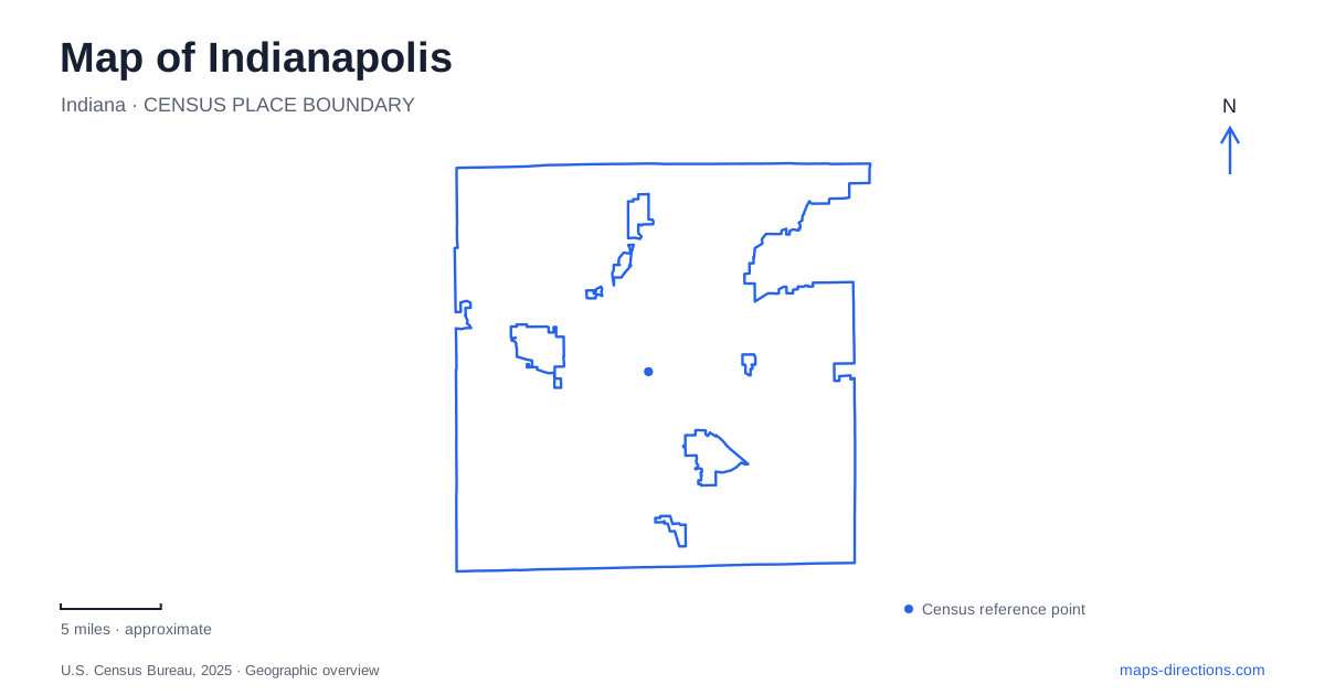
Street tiles load from OpenStreetMap when opened. The blue line shows the 2025 Census boundary.
- State
- Indiana
- Population · July 2025
- 901,116
- Land area
- 361.0 sq mi
- Water area
- 6.9 sq mi
Indianapolis has a central geography that can be read through its cultural districts rather than only through freeway exits. Monument Circle anchors the downtown identity, diagonal avenues lead toward distinctive commercial areas, and the Central Canal and White River organize the western side. The Cultural Trail ties several of these settings together for walking and cycling. Its map is especially useful because it shows districts, public art, greenways and attractions as parts of the same urban landscape.
A central district built around performance and sport
Visit Indy describes the Wholesale District as a downtown concentration of hotels, stadiums, arenas and performance venues, with Monument Circle as a defining central landmark. This creates a different visitor setting from a residential neighborhood or a park corridor. A map of the district shows how several event destinations share the central street network while retaining their own sites.
The Circle is a useful orientation point for Indianapolis, but the districts surrounding it give the map greater depth. Rather than treating downtown as a uniform block, follow the named corridors outward. The transition toward Mass Ave differs from the route toward the Canal, and the southeastern connection leads toward Fountain Square. These relationships help explain why a short move across the center can place a visitor in a noticeably different setting.
Mass Ave follows an angled commercial corridor
Massachusetts Avenue supplies both the name and shape of the Mass Ave district. Its diagonal alignment stands out against the surrounding street grid. Galleries, independent shops, restaurants and performance venues occupy the corridor, while Bottleworks marks its northern end. The latter reuses a former Coca-Cola bottling plant as a hospitality and entertainment complex, adding a distinct historic-industrial anchor to the neighborhood.
The district also contains public art such as Julian Opie's Ann Dancing. On a detailed map, these small destinations provide useful intermediate points along the avenue rather than a reason to jump from one large attraction to another. The Cultural Trail runs through the district, connecting its street-level activity with the wider downtown network. The avenue's angle, its northern landmark and its trail connection make its layout recognizable even without a long list of addresses.
Fountain Square occupies the southeastern branch
Visit Indy locates Fountain Square southeast of downtown and identifies its center around Virginia Avenue at Shelby and Prospect streets. That intersection is a concrete way to place the neighborhood on a map. The district's vintage shops, working artists, music venues and restaurants create a commercial center outside the downtown core, while the surrounding Fountain–Fletcher area broadens the neighborhood context.
For Indianapolis visitors, this southeastern cluster is a distinct counterpart to Mass Ave. The Cultural Trail connects it with the central districts, and the Red Line provides a transit relationship described by the visitor bureau. Those connections explain how the neighborhood fits into a city itinerary without erasing its separate location. A route down the corridor is part of the experience, not simply movement within the same central block.
Indiana Avenue carries a different history
Indiana Avenue anchors an area between the Central Canal and White River. Its importance is tied to Black business, music and cultural life, with the Madam Walker Legacy Center serving as a major landmark. The visitor bureau also identifies the Kurt Vonnegut Museum and Library among the area's cultural institutions. These places give the avenue a historical and institutional geography distinct from the retail emphasis of Mass Ave.
The canal-and-river relationship is useful when reading this part of Indianapolis. Two different water features appear in the same western central area, and the district lies among them rather than simply on a generic waterfront. Locating the avenue, the legacy center and the Canal together creates a clearer picture of how cultural history and public space overlap here.
White River State Park is an attraction landscape
West of downtown, White River State Park combines open space with a concentration of major institutions. The Cultural Trail's self-guided material identifies the Indiana State Museum, Eiteljorg Museum and NCAA Hall of Champions along the park route. The Central Canal adds a separate water-side experience within this larger setting. A park map is therefore as much a guide to cultural destinations as to lawns and paths.
Broad Ripple provides a useful contrast farther north. Visit Indy places it north of the downtown core and identifies connections by the Monon Trail and Red Line. Its shops, dining and trail-side activity belong to another neighborhood center, not an extension of White River State Park. Keeping that northern location visible prevents a small downtown map from becoming a misleading guide to the whole city.
The most informative Indianapolis overview includes the Circle, Mass Ave's diagonal corridor, Fountain Square's southeastern intersection, Indiana Avenue's canal-and-river setting and the western park institutions. The trail and transit connections then explain how these districts relate. Each adds a different piece of the city, so the map becomes a guide to its urban structure rather than merely a collection of event venues.
Map and statistics: U.S. Census Bureau, 2025 Gazetteer, January 2025 generalized place boundaries and Vintage 2025 population estimates. Local references: Visit Indy; Indianapolis Cultural Trail Inc.. Article prepared by Maps & Directions.