Map of Indiana
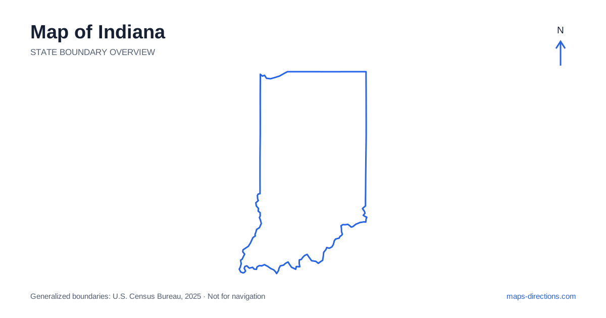
Indiana has a central capital that makes its road map look unusually connected, but the state contains more than a set of highways radiating from Indianapolis. The north includes Lake Michigan frontage and a network of industrial cities, farmland and lakes. The south becomes hillier before reaching the Ohio River. Fort Wayne, South Bend, Lafayette, Terre Haute and Evansville supply important regional anchors. Begin with those cities and the river boundary, then use Indianapolis as a junction within that wider pattern rather than the assumed base for every visit.
Understand the small lakefront and broad northern region
The northwestern corner of Indiana reaches Lake Michigan, where dunes, shoreline communities and the wider Chicago-region road network meet. Gary and Michigan City help orient this short lakefront section. A beach or park destination requires a specific entrance; the shoreline itself is not a single continuous road-accessible attraction. Water, railways and urban development influence the local approach.
Farther east, South Bend and Elkhart occupy a different northern corridor, while Fort Wayne lies toward the northeastern part of the state. These places should not be compressed into one lakefront district. For a trip across the north, distinguish a through-highway connection from a local stop along the lake or within a city. The regional overview is useful only if the final arrival point remains specific.
Read the capital's radial road pattern
Indianapolis sits near the center and brings several major interstates together. Interstate 65 crosses the capital along a northwest-to-southeast pattern, while Interstate 70 runs east to west. Other routes connect the city with the northeast and southwest, creating a road map that can resemble spokes around a hub. Interstate 465 provides the metropolitan ring connecting those approaches.
This arrangement is helpful for regional transfers, but a circular highway is not the destination. Identify the exact side of the metropolitan area serving a meeting, hotel or attraction. Crossing the city to reach a distant suburban address may not fit the same plan as a downtown visit. For an onward trip, keep the next departure direction in mind when choosing the overnight location.
Place the western cities along their own connections
A map of Indiana shows Lafayette northwest of the capital near the Wabash River, while Terre Haute lies farther southwest along the same broad western side. The river provides an important regional feature and forms part of the boundary with Illinois. Its course does not mean every riverfront town shares a direct road connection with the next.
West Lafayette and Lafayette occupy opposite sides of the river, making the chosen bridge relevant to local arrivals. Around Terre Haute, the interstate corridor and city streets serve different stages of the journey. When crossing into the neighboring state, trace the actual road and bridge rather than assuming the nearest-looking border point is usable. River geography often matters most during the last few miles, where a broad statewide view provides the least detail.
Recognize the hillier southern interior
The southern part of the state includes wooded hills and valleys that contrast with the more regular agricultural landscapes farther north. Bloomington and the Brown County area are useful reference points for this change. A route through the southern interior can involve winding local roads even when the destination appears close to a major highway.
For a rural stay or recreation visit, place the actual entrance on the map before judging its relationship to a nearby town. The name of a park or county covers a broad area, not a single road arrival. If the plan includes several scenic stops, follow their connecting roads in sequence. This reveals whether the day forms a coherent local loop or repeatedly crosses the same hills from different directions.
Follow the Ohio River without assuming frequent crossings
Along southern Indiana, the Ohio River creates a long, winding boundary beside Kentucky. Evansville anchors the southwestern region, while New Albany and Jeffersonville face the Louisville metropolitan area farther east. Madison occupies another distinct river stretch. These towns have different highway relationships and should be placed individually before a river-road itinerary is assembled.
A destination across the river may require a specific bridge well away from the nearest shoreline point. This is especially relevant when combining an overnight stay on one bank with visits on the other. Use a metropolitan view around Louisville and a broader regional view along quieter sections. In both cases, keep the crossing explicit rather than treating the water boundary as an ordinary local street connection.
Organize the trip by its actual region
A northern lake-and-city journey, a capital visit, a western river route and a southern hills itinerary each provide a clear geographical focus. The central highway hub makes combinations possible, but it does not remove the travel between them. Decide whether Indianapolis is a destination, a transfer point or simply a place the route passes around; those are different planning roles.
For an Indiana map to become a workable travel plan, match the scale to the task. Use the outline for statewide orientation, the corridor map for the transfer and a detailed view for the final entrance. Note where the landscape shifts from a regular grid to hills or riverbanks. That combination explains both the apparent simplicity of the highway network and the local details that can change the practical journey.