Map of Independence
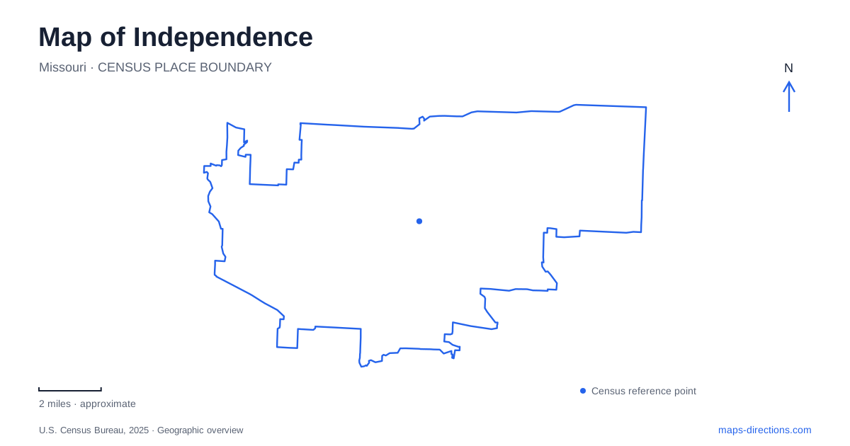
Street tiles load from OpenStreetMap when opened. The blue line shows the 2025 Census boundary.
- State
- Missouri
- Population · July 2025
- 121,675
- Land area
- 78.0 sq mi
- Water area
- 0.4 sq mi
Independence has several layers of travel history that remain visible on a modern map. The courthouse square recalls wagon outfitting and westward routes. The Truman home, library, and depot identify different parts of a presidential story. Parks preserve both historic trail traces and natural landscapes. These destinations make a coherent city itinerary only when their separate locations remain clear. A shared historical theme does not mean that the buildings stand together or that one visitor entrance serves every related attraction.
The square and the westward trails
The courthouse square was an important outfitting center for travelers on the Santa Fe and Oregon trails. The National Park Service describes the concentration of activity during the 1840s and early 1850s, when people converged here to obtain supplies before traveling west. This history gives the square a significance beyond its buildings: it was a place where regional routes and practical preparations met.
Reading Independence through that history involves more than finding a monument. The square represents the commercial and civic setting of departure, while other sites preserve the routes and landscapes beyond it. Keeping those roles distinct helps explain why a trails itinerary includes both an urban center and places where marks remain in the ground.
The National Frontier Trails Museum now operates inside the Truman Memorial Building at 416 West Maple Avenue. The city documented its move there in 2023. Older material may still associate the museum with its former location, so West Maple is the address to retain when planning a museum visit. The shared Truman name in the building title does not turn the trails museum into the presidential library.
Its exhibits concern the Oregon, Santa Fe, and California trails. That interpretation can provide context for Santa Fe Park, where the National Park Service identifies roughly a quarter mile of surviving trail ruts. The agency also notes their alignment with traces at the Bingham-Waggoner estate to the north. These are physical remnants of travel, rather than simply a modern recreational trail carrying a historic name.
Separate the home, visitor center, and library
Several Truman destinations appear on an Independence map, and their street names are especially useful. The historic home is at 219 North Delaware Street. The National Park Service visitor center and home ticketing station use 223 North Main Street. The similar numbers can distract from the more important difference: Delaware and Main are separate streets, and the visitor service location is not the house itself.
The presidential library and museum is another destination, at 500 West U.S. Highway 24. Its visitor information places the entrance off the highway and identifies Delaware Street on the property's west side and Pleasant Street on the east. That broader highway setting differs from the residential home and the visitor center near the square.
For an itinerary covering all three, label each stop by both function and street. Home, ticketing center, and library describe what happens there; Delaware, Main, and U.S. 24 describe how they fit into the city. This is more effective than saving three search results that all begin with the same person's name and expecting their purpose to remain obvious later.
A railway landmark with a continuing role
The Truman Depot stands at 1111 West Pacific Avenue. Built by the Missouri Pacific Railroad in 1913, it remains an Amtrak station. The city connects it with Truman's whistle-stop campaigning and the public welcome when he returned home after his presidency. Its historical identity and transportation function therefore overlap in the same building.
On an Independence itinerary, the depot adds a railway setting to the older wagon-trail story. West Pacific provides the concrete location, while the station function distinguishes it from a museum devoted solely to past travel. A rail arrival and a historical visit may involve the same landmark, but they remain different reasons for going there.
Forest and lakes beyond the historic buildings
George Owens Nature Park offers a different way to explore Independence. At 1601 Speck Road, the city describes a landscape of forest, hiking trails, and two fishing lakes, Lake Lorraine and Lake Bullhead. The DeWitt Center adds exhibits and nature education to the outdoor setting. These features make it a destination with its own internal geography rather than a generic stop for green space.
A visit here shifts attention from street-front buildings to paths, lake edges, and woodland. The park's named lakes help distinguish locations within the grounds, just as the different Truman street addresses distinguish historical sites. Together, the square, museum, home, library, depot, and nature park reveal several scales of the city. Preserving those differences produces a map that explains the places being visited, rather than merely displaying a collection of familiar names.
Map and statistics: U.S. Census Bureau, 2025 Gazetteer, January 2025 generalized place boundaries and Vintage 2025 population estimates. Local references: National Park Service; City of Independence; Harry S. Truman Presidential Library and Museum. Article prepared by Maps & Directions.