Map of Illinois
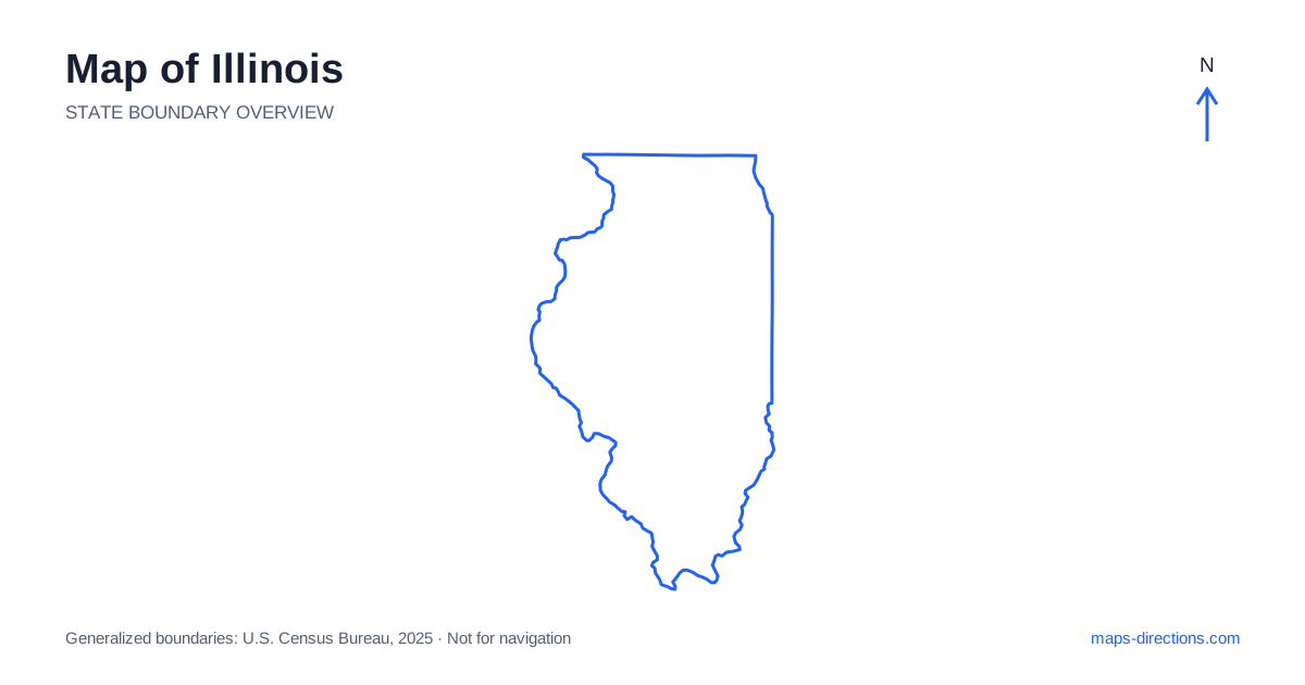
Illinois extends much farther south than a Chicago-centered map might suggest. The metropolitan area beside Lake Michigan occupies the northeastern corner, while Springfield, the state capital, lies in the central interior. Farther south, the landscape narrows toward the meeting of great river systems. This north-to-south span includes urban shorelines, agricultural plains, river towns and wooded hills. Locating those contrasting regions first makes the road network easier to interpret and avoids treating every destination as a convenient excursion from the largest city.
Put the lakefront city in its regional setting
Chicago faces Lake Michigan, with urban development extending inland and along the shoreline into a large metropolitan area. The lake is a strong eastern boundary for local travel: roads cannot continue directly across it toward the opposite shore. Airports, downtown neighborhoods and outer suburbs are separate arrival areas even when a broad map groups them beneath one familiar city name.
For an urban stay, locate the exact side of the metropolitan network and the final street approach. A hotel near an airport may serve a flight connection well while being poorly positioned for a different part of the city. Likewise, an onward road trip to the south or west should begin with the correct outbound corridor. The city's position in the corner of the state is an important part of that choice.
Trace the western river boundary
The Mississippi River follows much of the western side of Illinois, separating it from Iowa and Missouri. Riverfront cities such as Moline, Quincy and Alton belong to different stretches of that boundary rather than one compact riverside district. A journey along the river should be planned by these individual reaches and the connecting roads between them.
Crossings matter whenever the route moves to the opposite bank. The Quad Cities region spans the river, while the metropolitan area around St. Louis lies farther south and also involves travel across state lines. Choose the actual bridge and destination address instead of measuring between nearby riverfront labels. A broad outline shows the relationship between the banks, but a detailed road map is needed to explain the usable crossing.
Locate the central cities beyond the cornfield stereotype
Springfield, Peoria, Bloomington-Normal, Decatur and Champaign-Urbana are useful anchors for the interior. They sit within a broad agricultural landscape, yet each has its own road connections and local geography. Peoria's river setting differs from the university-town pattern farther east, while Springfield combines its capital role with a distinct position on major north-to-south routes.
Across central Illinois, an apparently regular road grid should not be assumed to offer identical connections everywhere. Rivers, railways and limited-access highways interrupt it. Use the route number and named interchange when planning a transfer, then switch to local streets for the destination itself. This is particularly helpful for campuses, event venues and rural properties whose entrances may lie away from the place label used on an overview.
Read the interstate pattern by destination
Interstate 55 links the Chicago region with Springfield and the approach toward St. Louis. Interstate 57 follows a different north-to-south corridor through the eastern and southern interior. Interstate 74 connects several central cities, while Interstate 80 provides an important east-to-west route across the north. These corridors are a framework, not a reason to assume every city lies directly on the same through journey.
If the trip includes both a central-city visit and a river destination, sketch the order before choosing the overnight base. A route can look efficient at the statewide scale while requiring repeated lateral crossings of the interior. Group stops around the highway that genuinely serves them, and give the final urban approach its own place in the plan rather than treating a city exit as the arrival point.
Notice the changing landscape in the south
Southern Illinois includes terrain that differs noticeably from the flatter central prairie. The Shawnee Hills and nearby wooded areas provide a different road-reading experience, with curving local routes and recreation destinations reached from particular approaches. Carbondale and the surrounding communities are helpful reference points for this part of the state.
Farther south, Cairo sits near the meeting of the Mississippi and Ohio rivers. That geographical position is striking on a map, but the water channels and bridges still determine how the area is reached. For a scenic drive or recreation visit, identify the exact access road and any return leg. Do not carry the assumptions of a flat, regular northern or central road grid into every southern destination.
Choose the appropriate north-to-south scale
A Chicago visit, a central capital-and-city route, a western river journey and a southern outdoor trip each give the map a different practical scale. Combining them is possible, but the connecting distances should be made visible rather than hidden behind the single state name. Overnight locations work best when they support the next region instead of pulling the route repeatedly back toward its starting point.
For an Illinois itinerary, identify whether the main constraint is urban spread, a river crossing or a rural access road. Then pair the statewide outline with the local detail that addresses that constraint. This approach preserves the simple orientation offered by the long state shape while respecting the very different road networks and landscapes found between the Lake Michigan shore and the southern river confluence.