Map of Idaho
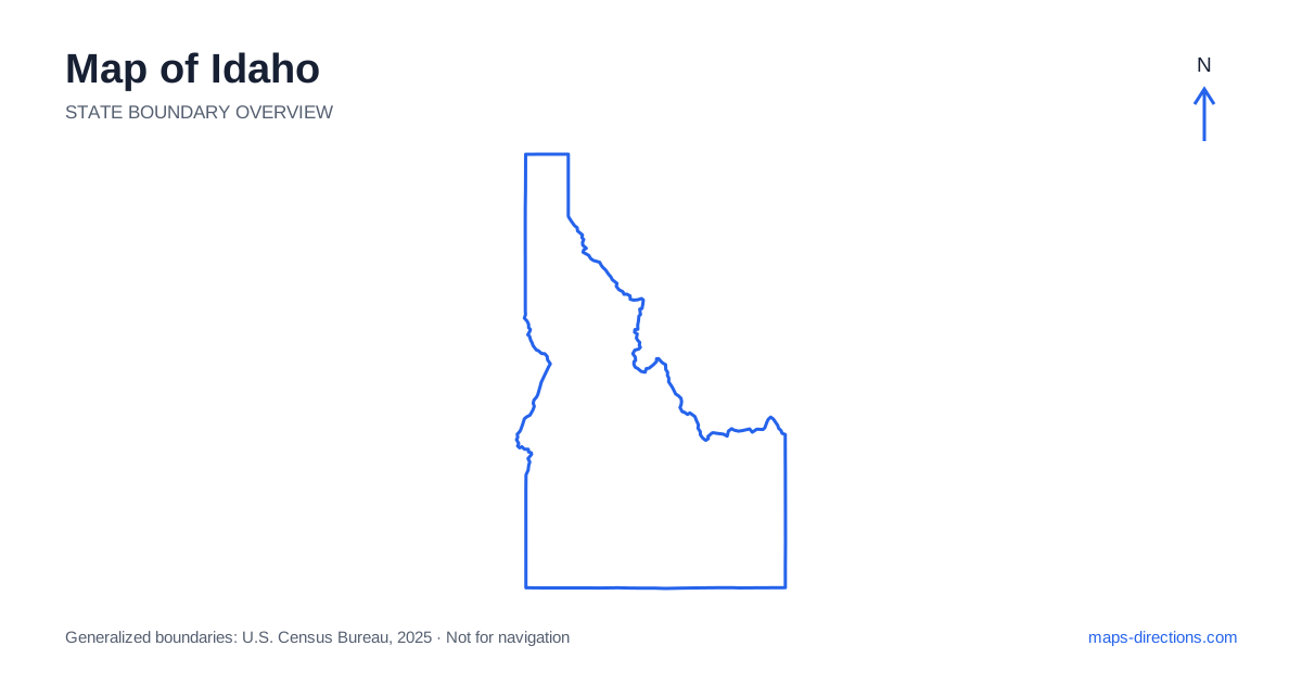
Idaho has an unusual outline: a broad southern section beneath a long, narrow northern Panhandle. That shape separates travel patterns that are easy to combine too casually on a small map. Boise and the Snake River Plain belong to the southern network, while Coeur d'Alene and Sandpoint sit far to the north. Between them, mountain ranges and river valleys influence the available connections. Read the state as several linked regions rather than assuming that its northern and southern cities share one straightforward freeway corridor.
Follow the southern arc of settlement
The Snake River Plain creates a broad geographical corridor across the southern part of the state. Boise and neighboring Treasure Valley communities anchor the western part, with Twin Falls farther southeast and Pocatello and Idaho Falls toward the eastern side. These cities provide a useful sequence of reference points, although the road network does not simply trace every bend of the river.
Boise is the state capital and an important starting point for the southwest, but it is not a centrally convenient base for every destination. A visit to the eastern plain or the northern lakes requires its own travel stage. When arranging stops along the southern corridor, distinguish between a city reached directly from the main route and an attraction that lies beyond a canyon, on a smaller road or well outside the urban area.
Use the highways without flattening the terrain
Interstate 84 connects the southwestern and south-central region, while Interstate 86 provides a link toward Pocatello and Interstate 15. The latter runs through the eastern part of the state, connecting the Pocatello and Idaho Falls areas with neighboring states. This framework makes the southern and eastern urban relationships easier to understand before local destinations are added.
The freeway pattern does not describe the whole state. Many mountain trips require leaving these corridors and following a valley road for a substantial distance. A destination may appear just north of a highway on the overview while being separated from it by rugged terrain. Trace the actual approach to the final town or trailhead, and make the transition from high-speed corridor to smaller road visible in the schedule.
Read the central mountains as a network of valleys
The central interior contains extensive mountain country where towns and roads are concentrated along particular valleys. McCall, Stanley and Ketchum orient different parts of that landscape. They should not be treated as neighboring stops merely because they all fit within the same mountainous region. A direct line between two town labels can cross terrain that the road system must go around.
The Sawtooth area is a useful example of this difference between appearance and access. A recreation destination may be reached from the Stanley side, the Wood River Valley or another specific approach. Choose the named access point before forming a loop. Mountain passes and roads also need current condition checks, but the basic map-reading task comes first: establish which valley contains the destination and how it connects to the previous night's base.
Pay attention to river canyons and crossings
The Snake River forms deep canyon landscapes in parts of the south and along the western region. Near Twin Falls, the canyon is a prominent local feature; farther west, the Hells Canyon area represents a very different, more remote setting. A shared river name does not make those places one compact destination. Locate the precise reach of the river involved in the visit.
The Salmon and Clearwater river systems are important features of the interior and north-central region. Roads may follow one river corridor for a long distance before finding a practical connection to another. An opposite-bank destination or a canyon overlook may have an approach that is not obvious from the broad overview. Identify bridges and road endpoints explicitly instead of assuming the river can be crossed wherever two nearby lines appear to meet.
Give the northern Panhandle its own base
The narrow northern part of Idaho includes lake country and communities oriented toward a different road network from Boise. Coeur d'Alene sits near Interstate 90, while Sandpoint lies farther north beside Lake Pend Oreille. The Panhandle extends to Canada, with Washington on its western side and Montana to the east. That regional setting is essential for understanding arrivals from neighboring cities.
A lakefront address can be on a different arm or shore from the town associated with its name. Check the actual approach around the water before arranging a series of visits. The same care applies when combining the northern lakes with a journey south through the state: a connected highway line should not be mistaken for a short transfer between nearby resort areas. Treat the long regional connection as a distinct part of the itinerary.
Plan around the road-accessible region
For a first trip, choose the Treasure Valley and nearby mountains, the eastern plain, the central high country or the northern lakes as the main focus. That choice gives the map a useful scale and prevents distant attractions from being grouped simply because they share a state label. Additional regions can be added once their connecting roads and overnight stops are clear.
An Idaho itinerary works best when the shape of each valley, canyon or shoreline is allowed to influence the order of visits. Keep an overview for the long transfer and a detailed map for the destination's final approach. The combination explains both the state's distinctive outline and the practical reality behind it: several strong regional networks, connected through terrain that deserves more attention than a straight line across the page.