Map of Hutto
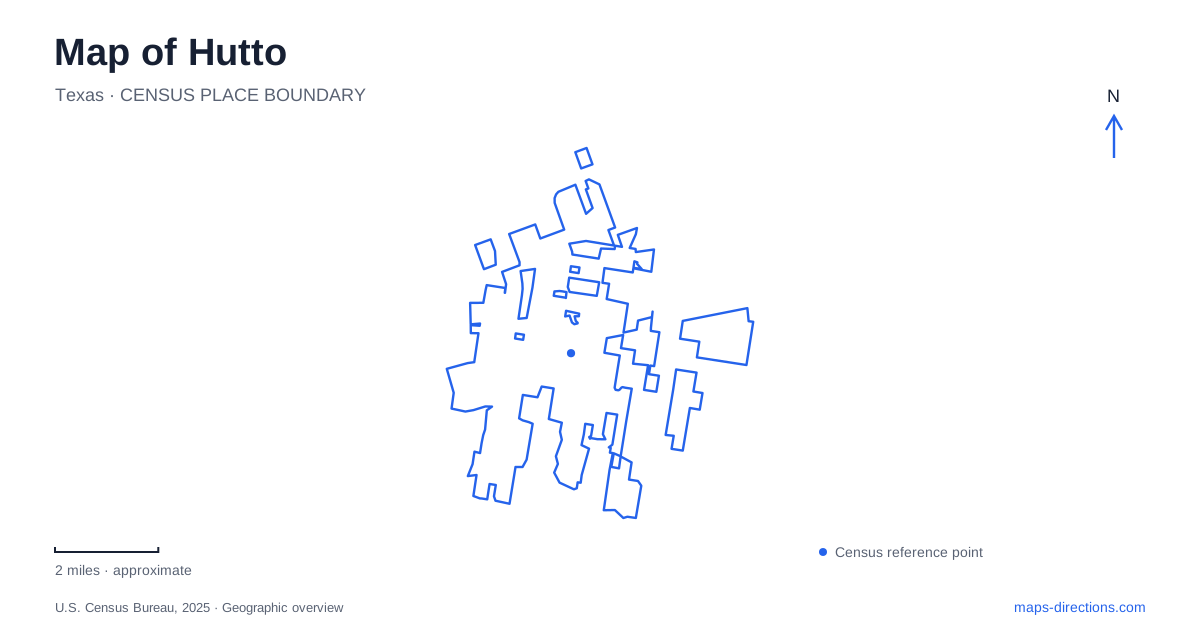
Street tiles load from OpenStreetMap when opened. The blue line shows the 2025 Census boundary.
- State
- Texas
- Population · July 2025
- 46,048
- Land area
- 14.9 sq mi
- Water area
- 0.1 sq mi
Hutto combines an agricultural town center with newer civic development and a recreation landscape organized around two creeks. Old Town and the Co-Op District sit beside one another but represent different parts of that development story. Cottonwood Creek links neighborhood parks, while Brushy Creek supplies the setting for a larger event landscape. The distinction between these places is more useful than treating every downtown or park search as the same destination.
Old Town has identifiable edges
The city describes Old Town with approximate boundaries: Park Street on the east, Orgain Street on the south, the Co-Op site on the west, and an area extending just north of Church Street and FM 1660. These references make the historic district understandable as a group of streets rather than a single building or plaza.
The city's tourism material connects this area with its agricultural past, including a renovated cotton gin and a cotton-gin sculpture. That heritage gives the district a local story beyond the generic label historic downtown. Looking at the older streets alongside the former agricultural site explains why farming and processing structures appear in discussions of the city center.
A map of Hutto can preserve that relationship by distinguishing the street district from the adjoining Co-Op property. They can be explored as related places without erasing the boundary between them.
The Co-Op combines civic uses with redevelopment
The Co-Op District is described by the city as a mixed-use development that includes city hall and the library. Municipal visitor information also outlines a wider development vision, including commercial, residential, and entertainment uses. Those future-oriented descriptions should not be read as a list of facilities already completed.
The civic address is 500 West Live Oak Street. This gives a concrete reference for the developed public buildings while the larger district continues to be discussed through plans and projects. An appointment at city hall is therefore more precise than a request for directions to the Co-Op as a whole.
Live Oak Street also links the civic setting with the older street network toward Park Street. It helps a visitor understand how a modern public destination and the historic district belong to the same central area while retaining different layouts and purposes.
Cottonwood Creek links two park settings
Fritz Park, at 400 Park Street, is a longstanding recreation destination with athletic facilities and a connection to the Cottonwood trail. The city describes that route as extending toward Carl Stern. Creekside Park lies along the same creek corridor, with an existing trail connection to Fritz Park.
The 2024 parks plan identifies a contrast within Creekside: a wooded area beside the creek and more maintained lawn elsewhere in the park. This is a useful local distinction for someone choosing a walk. The green area on the map contains both a creek-side environment and space arranged for neighborhood recreation.
For Hutto, Cottonwood Creek therefore supplies a connection between places rather than just a water line behind houses. It organizes a sequence of parks and paths. Fritz Park has also undergone major renovation, so older facility diagrams may show a different arrangement from the latest municipal information.
A lake setting near Lakeside Estates
Hutto Lake Park is at 805 Estate Drive, near Lakeside Estates in the southwestern part of the city. Its walking paths, picnic areas, and catch-and-release fishing offer a lake-centered outing distinct from following Cottonwood Creek between parks.
The parks master plan discusses a future connection along a tributary of Brushy Creek. The word future is important: the park's existing loop and facilities can be understood on their own, while a proposed trail belongs to a broader development vision. A reader should not have to infer that every line in a planning document is already an available route.
Brushy Creek supports a larger gathering place
Adam Orgain Park uses 1001 County Road 137 as its address and occupies land along Brushy Creek. It contains the Brushy Creek Amphitheater, placing the performance venue within a larger park rather than in the Old Town street district. City descriptions emphasize the creek-side cliffs, trees, and water surrounding the venue.
The park was named in 2021 for Adam Orgain, whose life and family form part of the area's history. That name connects a contemporary public space with a local person, while the creek gives the site its physical character.
A map of Hutto is clearest when it keeps these settings distinct: Old Town's streets, the neighboring civic redevelopment, Cottonwood's connected parks, the lake near Lakeside Estates, and the Brushy Creek event landscape. Each contributes a different part of the city's geography and supports a different kind of visit.
Map and statistics: U.S. Census Bureau, 2025 Gazetteer, January 2025 generalized place boundaries and Vintage 2025 population estimates. Local references: City of Hutto. Article prepared by Maps & Directions.