Map of Hurst
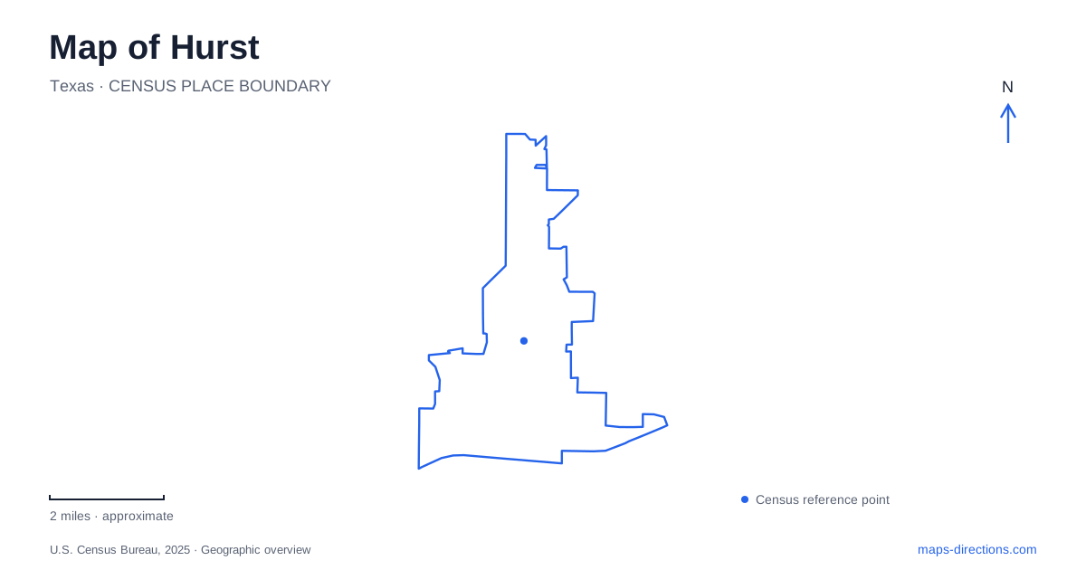
Street tiles load from OpenStreetMap when opened. The blue line shows the 2025 Census boundary.
- State
- Texas
- Population · July 2025
- 38,974
- Land area
- 10.0 sq mi
- Water area
- 0.0 sq mi
Hurst sits within the Mid-Cities landscape of northeast Tarrant County, where older settlement sites coexist with highways, a college campus and postwar neighborhoods. Its development cannot be explained by one transport corridor alone. A railway stop helped establish the community's name, aviation manufacturing accelerated growth, and larger institutions subsequently created new destinations. Parks along Norwood Drive and the quieter stream landscape at Rickel Park reveal another scale of the city, beyond its regional roads and commercial areas.
A depot, a school and a cemetery
William Letchworth Hurst moved to the area in 1870. His agreement with the Rock Island Railroad in 1903 allowed tracks across his land on the condition that a depot and stop carry his name. The municipal library's history records the station's construction that year and the formal adoption of the community name in 1909. These milestones belong to a period when a rail connection could reshape the prospects of a small agricultural settlement.
The Arwine family's contribution preceded that station. In 1879, land was deeded for a school, church and cemetery. The surviving burial ground near the Bellaire area retains a connection to that earlier cluster of community institutions. Its small footprint on a modern map should not obscure its historical role: public and religious life already had a local focus before the railway and later industrial expansion brought more residents.
Aviation changed the scale of growth
Bell Helicopter's plant opened in 1951 near the community's southeastern edge. The following year, municipal incorporation established a general-law city. The timing helps explain the close relationship between industrial employment and the growth of housing and services. This was a different phase from the earlier rural economy of crops, livestock, sand and gravel.
Later regional developments reinforced the transformation. Northeast Mall opened in 1972, and Dallas/Fort Worth International Airport began operating in 1974. Hurst's own history places these events within the broader expansion of the Mid-Cities area. They did not all occupy the original settlement center, but they changed the economic setting in which that center existed. A map of the modern city consequently contains several important destinations rather than one district that represents every period of its development.
A campus across a municipal boundary
Tarrant County College's Northeast Campus uses 828 West Harwood Road as its address. The college identifies the campus as occupying land in both this city and North Richland Hills. That cross-boundary setting is useful to remember when a map or directory uses a neighboring city name for part of the same institution.
The campus's opening history also has more than one date. It was intended to open in fall 1968, but construction delays required students to begin classes at South Campus. The college's anniversary account describes the move to the new site in spring 1969. A separate contemporary institutional history notes that some evening classes had already used unfinished rooms in 1968. The distinction is between the start of the campus's educational program and the fuller occupation of its permanent buildings, rather than two unrelated institutions.
Norwood Drive links two different park scales
Chisholm Park, established in 1969 at 2200 Norwood Drive, covers about fifty acres. Its pond and fishing island, playing fields, pavilions and walking paths create a substantial recreation destination in northern Hurst. The aquatic center is a separate facility within the broader park setting; the fishing pond should not be read as an extension of the swimming complex.
Mayfair Park lies along the same road at 1725 Norwood. The city inventory describes a smaller park with a playground, pavilion, open play area and a walking loop. Although the two sites share a street corridor, their layouts and range of activities differ. That comparison offers a useful way to read the neighborhood geography: the larger park gathers several programmed uses, while the smaller one supplies a more compact local outdoor space.
Rickel Park preserves a streamside setting
Rickel Park, at 1001 Bluebonnet, occupies land the family acquired in 1936 and donated to the city in 1986. It was formally dedicated in 1990. The municipal description emphasizes passive recreation across its twenty-nine acres, with a winding stream, walking paths, picnic areas and a playground. This landscape provides a contrast to the fields and larger activity complex at Chisholm.
The city's park map identifies bridges and an overlook, features that make the stream and changes in ground level part of the experience rather than incidental scenery. Hurst's public spaces therefore preserve more than places to exercise. Alongside the cemetery, the college and the industrial history, this donated land shows how private property, local institutions and natural features have been incorporated into the shared geography of a densely developed metropolitan community.
Map and statistics: U.S. Census Bureau, 2025 Gazetteer, January 2025 generalized place boundaries and Vintage 2025 population estimates. Local references: City of Hurst Library; City of Hurst; Tarrant County College; The Collegian, Tarrant County College. Article prepared by Maps & Directions.