Map of Huntersville
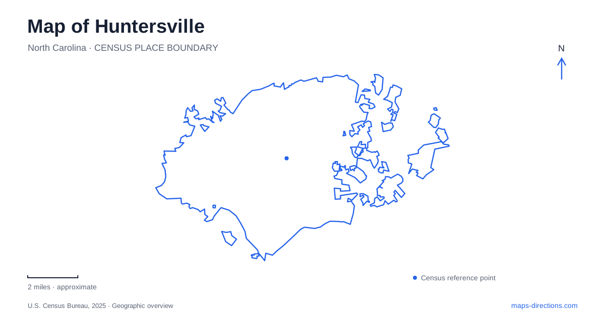
Street tiles load from OpenStreetMap when opened. The blue line shows the 2025 Census boundary.
- State
- North Carolina
- Population · July 2025
- 68,535
- Land area
- 42.1 sq mi
- Water area
- 0.2 sq mi
Huntersville has an older railroad-centered townscape and a much broader landscape of preserves, lake access, and cultural sites. Main Street and Church Street help locate the historical center, while Sample Road organizes several well-known nature destinations. Neck Road leads to a separate historic farm property. Those distinctions are useful because an itinerary described broadly as a visit to the Lake Norman area can involve places associated with a different lake and very different terrain.
Reading the railroad center
A state historic-preservation study describes the railroad running through the center of town, with Main Street to its west and Church Street to its east. The community incorporated in 1873. By the late nineteenth century, its economy included cotton gins, general stores, a corn mill, and sawmills, giving the railway a role in the movement and processing of local agricultural and timber products.
The same study places the former Anchor Cotton Mills north of the commercial district, bounded on the west by North Church Street. This gives the older industrial geography a recognizable relationship to the center. Huntersville's historical core is therefore more than a collection of surviving buildings: streets, railway, shops, and mill property formed a connected working landscape. Looking at their arrangement helps explain the center's shape beneath later metropolitan growth.
Sample Road as a gateway to the preserve
Quest stands at 6345 Sample Road, just inside the entrance to Latta Nature Preserve. The facility serves as a nature-education center and a place to obtain the preserve's trail map. Its operator describes more than sixteen miles of hiking trails in the surrounding property. This makes Quest a useful interpretive starting point for understanding the preserve, rather than simply another attraction somewhere near the lake.
The county's account of the center highlights an exhibit hall and a large aquarium containing native fish. Indoor interpretation and outdoor routes therefore support each other: the exhibits introduce local environments, while the trails place those subjects in a broader landscape. A visit to Huntersville can combine both experiences, but the building and the preserve remain different scales of destination. The Sample Road address identifies the gateway; the trail map organizes the ground beyond it.
Birds of prey at a separate Sample Road address
Carolina Raptor Center uses 6000 Sample Road within the same preserve. Its Raptor Trail is a zoo devoted to birds of prey, with more than thirty avian ambassadors and educational programming. The approximately three-quarter-mile route differs from the preserve's general hiking network because it is organized around the resident birds and their interpretation.
The operator also describes uneven ground, slopes, steps, and other obstacles along that route, and states that it is not ADA accessible. That terrain information is more useful than assuming that every attraction inside a nature preserve has the same path standard. Quest and the raptor center can be considered together geographically, while their separate entrances, programs, and visitor experiences remain clear. A map should preserve those separate institutional labels instead of treating the whole property as one undifferentiated nature center.
Mountain Island Lake has its own launches
Latta's paddling access is on Mountain Island Lake. Mecklenburg County identifies two options: North Canoe Access, with an accessible launch platform in a sheltered cove, and Gar Creek Canoe Access, which leads into the Gar Creek inlet. The names describe particular water settings, not interchangeable points along an uninterrupted open shore.
This is an important distinction in Huntersville's regional geography. Lake Norman is a widely used destination name, but it does not describe the water beside every local preserve. A paddling plan needs the correct lake and launch, especially when meeting others or choosing a sheltered inlet setting. The county also provides equestrian trails at Latta, adding another recreation network whose permitted use differs from the canoe accesses and general walking routes.
Rural Hill belongs to the Neck Road landscape
Rural Hill, at 4431 Neck Road, combines a historic site, farm, nature preserve, educational programs, and cultural events on a large property. Its operator describes roughly 265 acres, a scale that separates it from a small downtown house museum. The site hosts the Loch Norman Highland Games and other programmed gatherings, but its geographical identity remains a farm and historic landscape reached from Neck Road.
Rural Hill therefore adds a different historical setting to the railroad center and Sample Road preserve. It should be understood as a separate destination rather than another building within Latta. Together, these places show Huntersville through the relationships among a working town, protected habitats, distinct waterways, and a rural cultural property. That combination gives a local map both historical depth and practical clarity.
Map and statistics: U.S. Census Bureau, 2025 Gazetteer, January 2025 generalized place boundaries and Vintage 2025 population estimates. Local references: North Carolina State Historic Preservation Office; Quest / Mecklenburg County; Mecklenburg County; Carolina Raptor Center; Historic Rural Hill. Article prepared by Maps & Directions.