Map of Houston
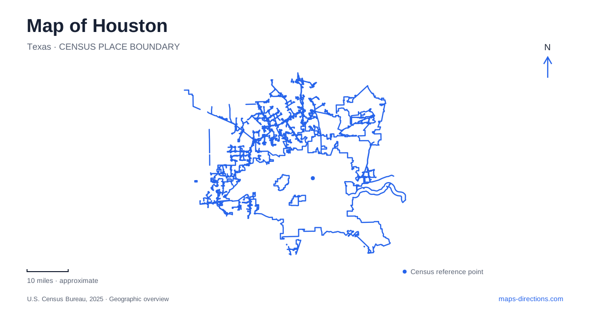
Street tiles load from OpenStreetMap when opened. The blue line shows the 2025 Census boundary.
- State
- Texas
- Population · July 2025
- 2,397,315
- Land area
- 640.8 sq mi
- Water area
- 31.2 sq mi
Houston presents two different patterns on a map: freeway rings around the central area and a bayou corridor threading through it. The rings provide broad orientation for a drive, while the waterway explains the shape of parks and trails near downtown. A third pattern, the METRORail network, connects selected destination districts without following every freeway corridor. Understanding which pattern serves a particular trip is more useful than treating every bold line on the map as an equivalent route.
What the 610 label tells you
Interstate 610 forms a loop around the traditional inner city. The city's planning department distinguishes it from the smaller freeway enclosure around downtown and from the larger Beltway 8 outside it. That makes the phrase “inside the loop” a geographic shorthand, not a precise address. Two destinations within the same ring can still occupy different sides of the central area and require different approaches.
For Houston road planning, compare the destination with a named part of the loop rather than accepting a broad inside-or-outside description. A meeting near the West Loop is a different map problem from a meeting downtown. The loop gives regional position; the final connecting road and entrance determine arrival. Zooming out briefly after selecting an address helps reveal whether a search result is on the expected side of the city before the route becomes a list of turns.
Buffalo Bayou Park has a long footprint
Buffalo Bayou Park extends from Shepherd Drive to Sabine Street, between Allen Parkway and Memorial Drive. Those bounding streets make the park easier to locate than a single label spread over its green space. Its visitor center at The Water Works uses a Sabine Street address, whereas Lost Lake is identified on Allen Parkway. They belong to the same park corridor but are distinct starting points for an outing.
This distinction matters when friends agree to meet “at the park.” Choose a named facility or trail access instead. The Water Works, Lost Lake and the Waugh Drive area produce recognizable, separate map references. A route ending at one does not establish how far the intended walk continues within the park. Save the meeting location independently from a general park pin so that a later search does not replace it with the park's default label.
Banks, bridges and the last part of a walk
The bayou is not merely a scenic line through Houston. It separates paths and destinations into banks, with bridges supplying the connections. The partnership's visitor guidance directs people using surrounding street parking to pedestrian bridges for access. A parking choice therefore needs to be paired with an actual crossing and trail approach, rather than judged only by how close its symbol appears to the desired feature.
The Johnny Steele Dog Park is identified on the south bank near Montrose Boulevard and Allen Parkway. The Waugh Drive area is another specific reference farther along the corridor. These details help distinguish named destinations that a small overview compresses together. Before walking, examine which bank contains the feature and which bridge connects the chosen starting point. The correct side of the water is a more useful check than the straight-line distance across it.
A separate corridor serves museums and medical destinations
METRO places the Museum District south of downtown, near the Texas Medical Center and Rice University. Its Red Line follows Main Street through downtown and provides access to the Museum District station. This creates a useful transit relationship among several central destinations, but it does not mean that every museum or medical building has the same final stop or walking approach.
When using rail in Houston, keep the specific institution in the itinerary alongside the district name. An appointment at a medical facility and a visit to a museum may share part of a rail journey while needing different exits and final streets. The district label narrows the search; the institution's visitor entrance completes it. This is particularly important where a large campus occupies several blocks and the most prominent map label does not sit over the intended entrance.
Transfers are part of the geography
The Green Line serves the Theater District, EaDo and the Second Ward, while the Purple Line serves the Theater District and Third Ward. METRO explains that riders coming from those lines can transfer downtown to the southbound Red Line for the Museum District. A transit map thus tells a different story from a road map: nearby destinations may be connected through an interchange rather than a direct continuation of one line.
A useful Houston plan keeps these three systems distinct. Use the loops to understand broad road position, the bayou's named facilities and bridges to organize a park visit, and the rail lines to identify transfers between districts. Then check the final address or entrance for each stop. That produces a route plan grounded in the city's actual layout without assuming that a freeway, a park trail and a transit line offer the same kind of access.
Map and statistics: U.S. Census Bureau, 2025 Gazetteer, January 2025 generalized place boundaries and Vintage 2025 population estimates. Local references: City of Houston Planning; Buffalo Bayou Partnership; METRO; City of Houston. Article prepared by Maps & Directions.