Map of Honolulu
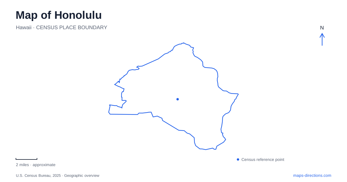
Street tiles load from OpenStreetMap when opened. The blue line shows the 2025 Census boundary.
- State
- Hawaii
- Population · July 2025
- 341,868
- Land area
- 60.6 sq mi
- Water area
- 7.8 sq mi
Honolulu occupies a setting where a coastal business district, a resort shoreline, and steep inland landscapes sit close together. A useful map needs to show more than the beach: the palace and government buildings explain the historic center, Chinatown extends its commercial story, and the volcanic crater of Lēʻahi gives the southeastern skyline its distinctive outline. Inland, Mānoa introduces a wetter botanical landscape. These places belong to the same urban experience, but their histories and terrain produce noticeably different street and walking patterns.
Royal, civic, and commercial landmarks
Downtown Honolulu combines the modern business district with a compact group of buildings associated with government and the Hawaiian monarchy. ʻIolani Palace, the King Kamehameha I statue, and Kawaiahaʻo Church are among its principal historic landmarks. The State Capitol and Washington Place add later layers of public administration to the same general area. Their proximity makes this part of the map particularly useful for understanding the relationship between political history and the contemporary city.
The Aloha Tower adds a waterfront reference to that cluster. Rather than imagining the center as a single business intersection, read it as an area containing civic grounds, historic buildings, office blocks, and a harbor landmark. The resulting pattern differs from the resort geography farther along the shore. It also explains why a walking plan focused on architecture can cover several distinct institutions without following the beachfront hotel strip.
Chinatown's markets and cultural streets
Chinatown lies along the western side of the financial district. Its older buildings accommodate markets, lei makers, herbalists, restaurants, and other businesses. Maunakea Marketplace and Oʻahu Market provide two concrete points for reading its daytime commercial geography. These are places of everyday exchange as well as visitor interest, so the neighborhood's character is not confined to a museum or monument.
Nuʻuanu and Bethel streets form important reference lines for the arts scene, while the historic Hawaiʻi Theatre supplies a recognizable performance landmark. Temples associated with Chinese and Japanese traditions add another cultural layer. On a map of Honolulu, this district broadens the story beyond royal and government sites: it shows the commercial and community institutions that developed alongside the formal civic center. Looking at the relationship between market streets and theater blocks helps explain why the area can support very different activities within a relatively compact footprint.
Waikīkī between the shoreline and harbor
Waikīkī lies on the south shore and is the island's main hotel and resort district. Its name refers to spouting waters, recalling a landscape whose history predates the modern hotels. The Moana Surfrider opened in 1901, marking an early chapter in the development of the visitor district. Kalākaua Avenue remains its principal commercial strip, with Kūhiō Avenue also supporting shops and restaurants.
The Duke Kahanamoku statue connects the beachfront to the history of surfing and ocean recreation. Historical trail markers shaped like surfboards offer another way to encounter that story along the district's streets. At the western end of this coastal setting, Ala Wai Harbor occupies the shore between Waikīkī and Ala Moana beaches. Its boat basins create a visibly different waterfront pattern from the beach itself. This is a useful geographical transition when tracing the urban coastline rather than viewing every coastal block as interchangeable resort frontage.
A crater with a military route inside it
Lēʻahi, commonly called Diamond Head, is both a volcanic landmark and a place shaped by coastal defense construction. The summit trail dates to 1908, and the fire control station completed in 1911 directed artillery fire from surrounding batteries. The modern walking route therefore follows infrastructure with a specific military purpose.
From the crater-floor parking area, the summit route extends 0.8 mile one way and climbs 560 feet. Switchbacks, stairs, and a lighted tunnel make its geometry very different from a straight path across a park. The entrance is off Diamond Head Road between Makapuʻu Avenue and 18th Avenue. Honolulu's familiar skyline view conceals this interior arrangement: reaching the crater floor and climbing the rim are successive parts of the visit, and a small distance on the map includes substantial elevation change.
The wetter inland landscape of Mānoa
Lyon Arboretum occupies the back of Mānoa Valley. The university botanical garden covers 193.5 acres and maintains a collection of more than 6,000 tropical and subtropical plant taxa. Its work includes native Hawaiian plants, conservation biology, and ethnobotany. The grounds extend from approximately 450 to 1,850 feet in elevation, with average annual rainfall reported at 165 inches.
Those figures explain why the valley's vegetation and terrain provide such a pronounced contrast with the coastal resort setting. The arboretum is a research landscape as well as a public garden, with trails passing through living collections. Including Mānoa on a Honolulu map brings the rising ground and rainfall into the picture, completing a more informative view of the city than its shoreline alone can provide.
Map and statistics: U.S. Census Bureau, 2025 Gazetteer, January 2025 generalized place boundaries and Vintage 2025 population estimates. Local references: Hawaii Tourism Authority; Hawaii Division of Boating and Ocean Recreation; Hawaii Division of State Parks; University of Hawaii at Manoa. Article prepared by Maps & Directions.