Map of Hollywood
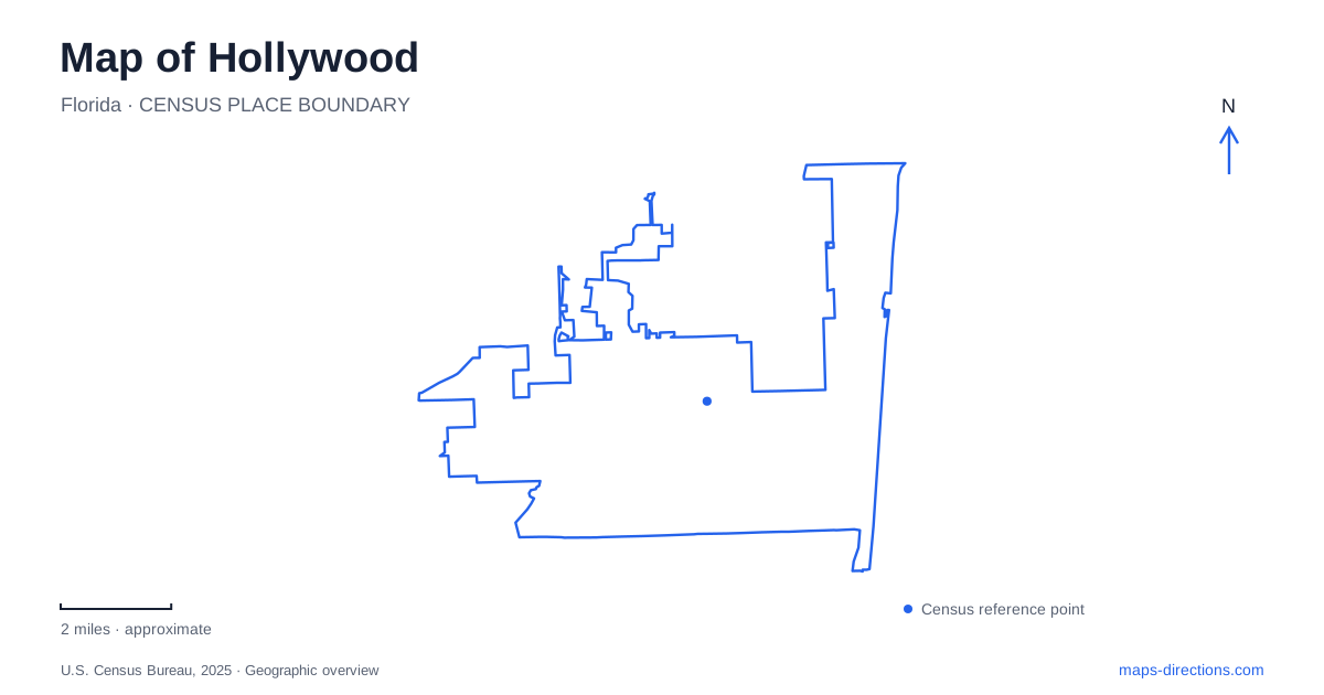
Street tiles load from OpenStreetMap when opened. The blue line shows the 2025 Census boundary.
- State
- Florida
- Population · July 2025
- 157,019
- Land area
- 27.3 sq mi
- Water area
- 3.5 sq mi
Hollywood, Florida has a legible planning idea beneath its later growth: a major east-west boulevard connecting inland districts with the ocean, punctuated by large circles. The coastal map adds another pattern, with the Atlantic beach separated from mainland neighborhoods by the Intracoastal Waterway. North and South lakes occupy part of the space between downtown and the beach, while West Lake preserves a substantial mangrove landscape farther north. These features explain the city more clearly than thinking of it only as a continuous resort strip.
Joseph Young’s boulevard and circles
Joseph Wesley Young began acquiring land for his planned community in 1921. His vision combined a business district, residential areas, parks, schools, and large artificial lakes with connections to the Intracoastal. The broad central avenue was intended as the principal organizing line through this arrangement.
Three circles along Hollywood Boulevard gave that line a distinctive rhythm. The eastern circle became Young Circle, the middle one became Watson Circle at the City Hall complex, and the western one is now Presidential Circle. Their different uses demonstrate how one planning device could accommodate recreation, civic functions, and other large developments.
This is useful map information because the circles are not interchangeable traffic features. They mark different destinations along the city's main axis. The original plan also explains the contrast between the straight neighborhood grid and the curved edges of these large sites. Reading both together shows a designed hierarchy: ordinary streets serve local blocks, while the boulevard and circles organize the wider community.
A downtown circle used for the arts
ArtsPark occupies the ten-acre Young Circle at the meeting of the boulevard and US 1. Dedicated in 2007, it combines an amphitheater, visual-arts facilities, a gallery, open lawn, and children's play spaces. Its role is therefore broader than a landscaped traffic island. The park acts as a place to gather and participate in cultural activities within downtown.
Hollywood’s ArtsPark also retains a distinctive group of baobab trees, adding a recognizable planted feature to the site. The walking path and open spaces organize movement around the cultural facilities, while the amphitheater creates a focus for performances. On a map, the circle's green interior can look simple; on the ground, it contains several separate activity areas.
The relationship to US 1 is particularly important. A regional north-south roadway and the city's planned east-west axis meet at the same public space. That makes the park a useful reference point for understanding downtown even when a trip continues toward the beach or the western neighborhoods.
The Broadwalk is an oceanfront route
The brick-paved Broadwalk extends nearly two and a half miles along the Atlantic. Its name is deliberately Broadwalk, although it is often confused with the more common word boardwalk. Pedestrians, runners, cyclists, and skaters share this long waterfront setting, with restaurants and other beach-oriented businesses alongside it.
Hollywood’s coastal promenade has roots in the 1920s development of the beachfront. The original cement route was shorter than today's promenade, showing how the public beach landscape developed over time. The oceanfront route runs north-south, in contrast to the boulevard bringing people east from the mainland.
That difference in direction matters when combining destinations. A crossing to the barrier-island beach does not place a visitor beside every Broadwalk location. Once at the ocean, movement continues along the shore. The Intracoastal remains a separate waterway behind the beach district, with its own bridges, shorelines, and boating geography.
North Lake, South Lake, and the residential grid
The municipal neighborhood map shows North Lake above the main boulevard and South Lake below it. Their curved shorelines interrupt the otherwise regular street pattern, while the surrounding Northlake and South Lake drives follow the water. The lakes belong to the planned residential landscape between Federal Highway and the Intracoastal.
Their shape reflects the founder's ambition to incorporate yacht basins into the city plan. They should therefore be read as part of the community's engineered waterfront, distinct from both the open ocean and the mangrove estuary farther north. The nearby numbered avenues and named cross streets remain useful references where lakeside roads bend away from the grid.
Mangroves beside Sheridan Street
Anne Kolb Nature Center, at 751 Sheridan Street, introduces the West Lake coastal wetland. The county's park system describes approximately 1,501 acres here, including trails through mangrove communities, an exhibit hall, and an observation tower. The Friends organization emphasizes the conservation effort that protected this estuary from development.
The tower offers a broader view of water and mangrove canopy, while trails and boardwalks bring visitors closer to the habitat. This setting differs fundamentally from the ornamental circles and engineered residential lakes: its central purpose is ecological protection and interpretation. Together, those landscapes give Hollywood a varied coastal geography, with planned urban spaces, working waterways, beachfront recreation, and conserved wetlands occupying neighboring but distinct parts of the map.
Map and statistics: U.S. Census Bureau, 2025 Gazetteer, January 2025 generalized place boundaries and Vintage 2025 population estimates. Local references: City of Hollywood; Broward County Parks and Recreation; Friends of Anne Kolb Nature Center. Article prepared by Maps & Directions.