Map of Holly Springs
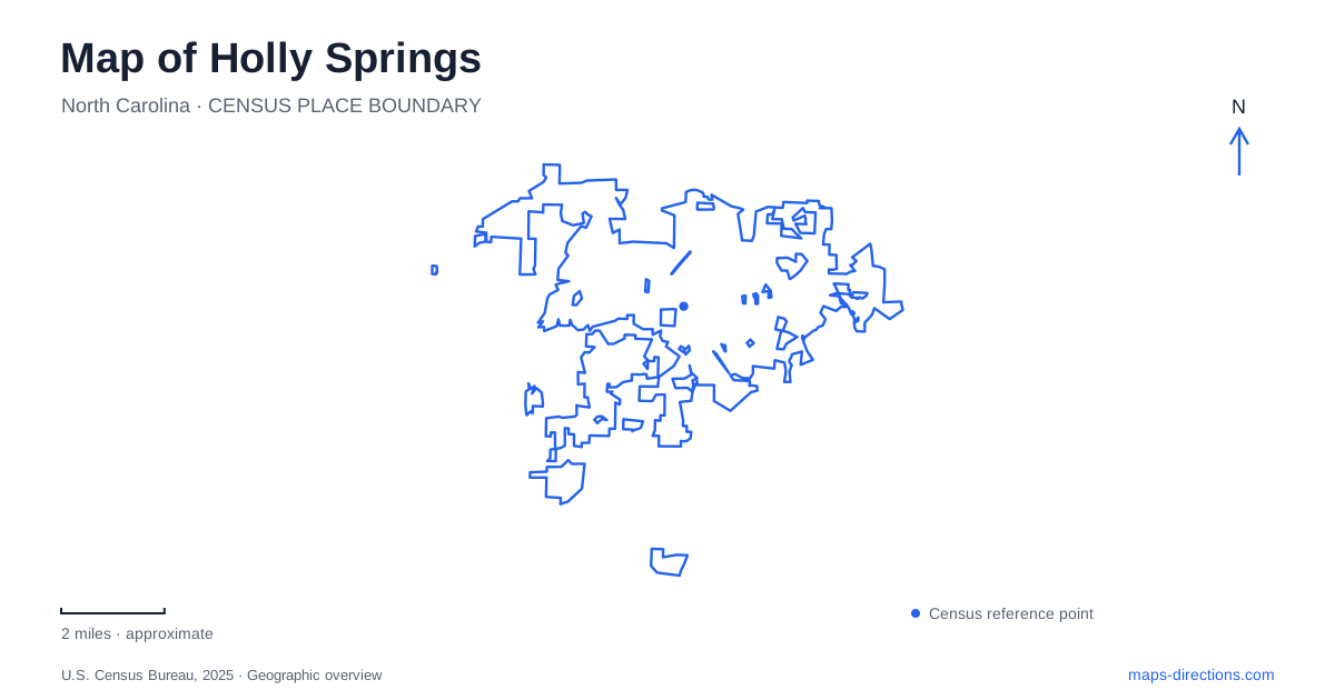
Street tiles load from OpenStreetMap when opened. The blue line shows the 2025 Census boundary.
- State
- North Carolina
- Population · July 2025
- 50,288
- Land area
- 19.8 sq mi
- Water area
- 0.1 sq mi
Holly Springs has two landscapes worth keeping in the same frame: a compact historic center built around an old crossroads, and a broader recreation network organized around Bass Lake and Grigsby Avenue. The first contains civic buildings, a surviving nineteenth-century house, and wooded springs surprisingly close to downtown. The second combines a lakeshore circuit, former farmland, and paved greenway connections. Understanding how these areas developed gives the map more meaning than a simple list of parks.
The crossroads and the earlier springs
The town's history describes an original cluster of homes and businesses around springs near holly trees, in a landscape previously used as a Tuscarora hunting ground. The crossroads that became downtown developed a couple of miles farther north. One road linked Hillsborough and Smithfield; the other ran between Raleigh and the Cape Fear River, continuing toward Fayetteville. Water and regional travel therefore explain two separate stages in the settlement's geography.
The Leslie-Alford-Mims House at 100 Avent Ferry Road anchors the later center of Holly Springs. Archibald Leslie established a tailoring business and store here, and construction of the large house was underway by about 1840. George Benton Alford acquired it in 1876 and added to the building. Its long compound name records successive associations with one property, while its position helps locate the old commercial crossroads within the modern town.
Community history beyond the mansion
Grigsby Avenue carries another important historical connection. After the Civil War, formerly enslaved people pooled resources to purchase church land where First Baptist Church stands today. That collective investment belongs alongside the better-known house and mercantile history when interpreting the town. The community's survival and growth involved institutions built by African American residents as well as prominent property owners.
The historic marker program makes these layers visible in several places. A marker on Raleigh Street identifies the Masonic Lodge, while another on Center Street recalls the former Mims Drugstore and the nearby house. Other markers recognize earlier school sites at the present Cultural Center and Hunt Recreation Center. These are useful clues to continuity: a building's current recreational or cultural use can occupy a site that already had a longstanding educational role.
Walking from town into Mims Park
Mims Park brings a wooded landscape into the center of Holly Springs. Its 17 acres include rolling ground, natural springs, and the gravesite of G. B. Alford. The Cultural Center at 300 West Ballentine Street and the park address at 350 West Ballentine Street establish a particularly helpful relationship between a civic destination and nearby open space.
Two approaches offer different experiences. A hard-surface route from West Earp Street reaches the springs, while the natural-surface loop is about 0.8 mile and is conveniently approached from West Ballentine Street. Alford's gravesite lies on the eastern part of that loop. The dirt-and-clay paths respond to wet weather, and bicycles are excluded from them. This is a small landscape with actual changes in surface and terrain, so the paved approach and wooded circuit should be read separately rather than assumed to be one uniform promenade.
Following the lake and the greenway
Bass Lake Park, at 900 Bass Lake Road, gives the map of Holly Springs a different organizing feature. The Lake Trail starts behind the Nature Center and forms a 1.9-mile circuit. Most of it follows the lakeshore, with a shorter wooded section that the town describes as more demanding. Its primarily mulched surface contrasts with the paved route connecting the park to other recreation areas.
That paved route is the 1.32-mile Carl Dean Greenway. It passes Sugg Farm and reaches Grigsby Avenue across from an entrance to the paved Womble Park trails. This relationship is more informative than simply seeing three park labels: the greenway supplies a specific connection between the lake, former farmland, and another trail system. The lake loop remains a circuit, while the greenway serves a connecting function.
Former farmland along Grigsby Avenue
Sugg Farm occupies a 117-acre property acquired by the town in 2012, with both open fields and woods. Its listed address is 2401 Grigsby Avenue; Womble Park is at 1201 on the same avenue. The farm's open land supports community gatherings, including the town's Independence Day celebration, while an off-leash dog park provides a smaller dedicated use within the property.
Together, these sites show how Holly Springs has adapted older landscapes for public life. The springs retain their relationship with the historic center, former school locations continue serving the community, and farmland has become part of a connected park network. A trip organized around those relationships can move from architecture and local history to woodland and lakeshore without losing sight of the roads and paths that tie the places together.
Map and statistics: U.S. Census Bureau, 2025 Gazetteer, January 2025 generalized place boundaries and Vintage 2025 population estimates. Local references: Town of Holly Springs. Article prepared by Maps & Directions.