Map of Hoboken
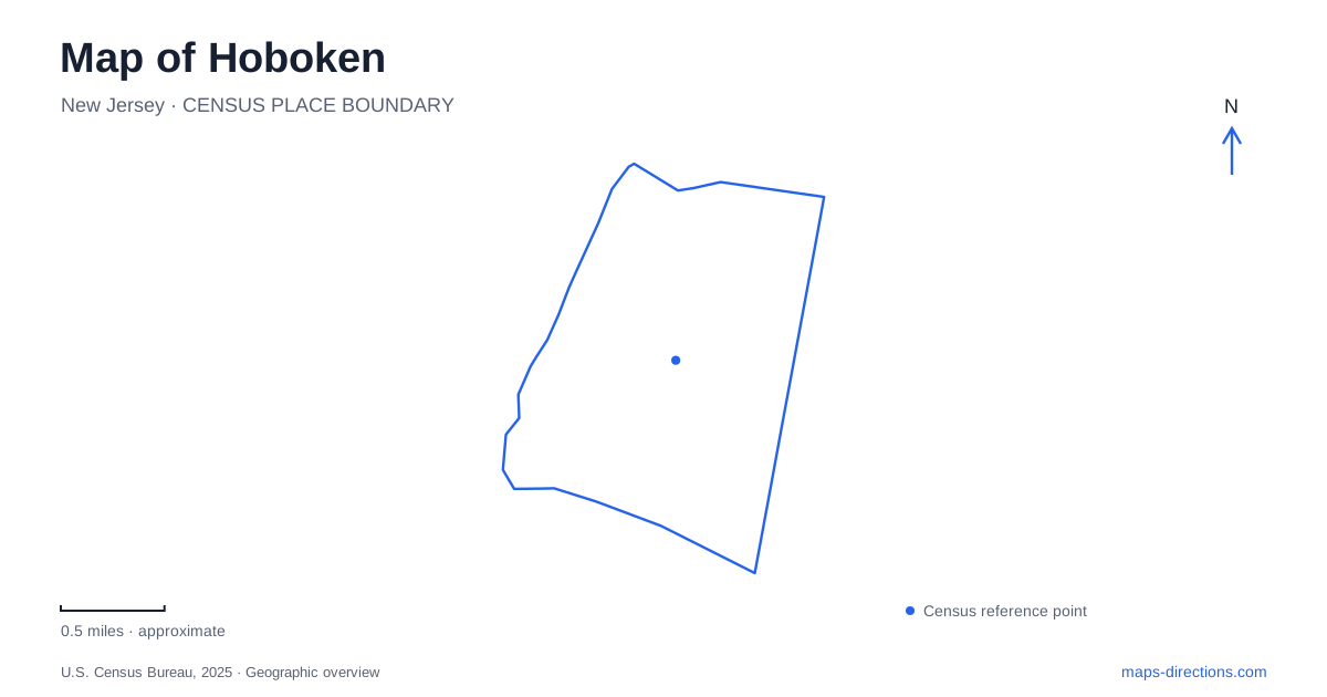
Street tiles load from OpenStreetMap when opened. The blue line shows the 2025 Census boundary.
- State
- New Jersey
- Population · July 2025
- 59,027
- Land area
- 1.3 sq mi
- Water area
- 0.7 sq mi
Hoboken's map is compact, but its destinations are not interchangeable. The southern terminal is a regional transportation hub; Washington Street forms a commercial spine; Sinatra Drive follows the waterfront; and Castle Point rises above the river around the Stevens campus. Numbered cross streets provide a useful way to relate these different settings. They let a visitor compare an inland park, a waterfront stop and a commercial block without losing track of their position along the city.
Begin with the southern transportation hub
Hoboken Terminal is at 1 Hudson Place, beyond the end of Observer Highway. NJ Transit identifies commuter rail services alongside PATH and ferry connections, while the terminal directory also shows the Hudson-Bergen Light Rail plaza. These are several transport systems occupying a connected terminal area, not one service with a single boarding point.
The station-area map names Hudson Place, Warrington Plaza, the ferry concourse and PATH access. Keeping these features visible helps explain the last part of an arrival or transfer. Someone meeting a ferry passenger may need a different point from someone arriving by train, even though both describe their destination as the terminal.
From this southern anchor, the numbered street pattern gives a straightforward way to understand movement into the city. The terminal is also a useful dividing point between the regional journey and the local visit. A rail or ferry map gets you to the hub; the street map then places the parks, campus and commercial blocks within the urban landscape.
Waterfront parks form a sequence
Pier A Park, at 100 Sinatra Drive, supplies a large lawn, gazebo and fishing setting near the southern waterfront. Farther along Sinatra Drive, Pier C Park is near Fourth Street and includes play areas, a promenade and a fishing pier. Sinatra Park occupies the stretch between Fourth and Fifth streets, with a sports field, amphitheater and kayak launch.
These names describe different public spaces within Hoboken. Pier A is useful for an open-lawn stop, Pier C has a more concentrated play-and-promenade identity, and Sinatra Park combines waterfront recreation with organized activity. Looking at their cross streets makes the sequence easier to understand than simply collecting three park names.
The Hudson River provides a continuous geographic reference, while the individual parks create places to stop along it. A waterfront outing can be organized around one of those spaces rather than assuming that the entire shore must be covered. Construction phases can affect particular sections of the public route, so a broad waterfront line should be read alongside the actual streets and open approaches at the time of a visit.
Washington Street and the inland blocks
Washington Street's commercial historic district contains a dense mix of residential and business uses. The street is an inland counterpart to the riverfront: its interest lies in storefronts, buildings and neighborhood activity rather than primarily in water views. The city's streetscape work extended from Observer Highway to Fifteenth Street, reinforcing its role as a long central corridor.
Church Square Park offers a different kind of pause within the grid. It is on Garden Street between Fourth and Fifth streets, with a playground, basketball courts, dog run and quieter open space. Its cross streets correspond to the area of Sinatra Park, but the setting is inland. That relationship is a useful way to understand an east–west slice of Hoboken: similar street numbers can lead to very different surroundings.
The contrast encourages a visit that includes more than the waterfront. A route through the commercial spine and neighborhood park shows the city's everyday public spaces, while the riverfront provides the broader metropolitan view. The grid connects those experiences without making them the same.
Castle Point and upper Hudson Street
Stevens Institute of Technology occupies a bluff overlooking the Hudson and Manhattan. The institution's address is 1 Castle Point Terrace, and its visitor information provides a campus map for the buildings and internal routes. The elevation matters here. A campus destination belongs to a higher setting, distinct from the shoreline even when the two appear close on a flat map.
Farther along Hudson Street, the Hoboken Historical Museum is at number 1301. Its exhibitions and programs provide a cultural destination beyond the terminal and central waterfront parks. The street address anchors a visit in the upper part of the city rather than at the southern transit complex.
Together, these places reveal the value of reading both cross streets and terrain. Hudson Place locates the regional hub, Sinatra Drive identifies the waterfront sequence, Washington Street organizes commercial activity, Garden Street supplies an inland park reference, and Castle Point introduces elevation. The resulting map supports several different kinds of outing within a small but varied urban area.
Map and statistics: U.S. Census Bureau, 2025 Gazetteer, January 2025 generalized place boundaries and Vintage 2025 population estimates. Local references: NJ Transit; City of Hoboken; New Jersey Historic Preservation Office; Stevens Institute of Technology; Hoboken Historical Museum. Article prepared by Maps & Directions.