Map of Hobbs
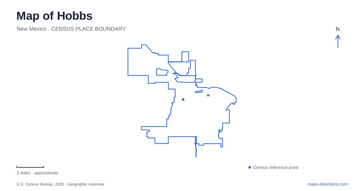
Street tiles load from OpenStreetMap when opened. The blue line shows the 2025 Census boundary.
- State
- New Mexico
- Population · July 2025
- 40,863
- Land area
- 26.4 sq mi
- Water area
- 0.0 sq mi
Hobbs has a street pattern shaped by ranching, separate town plats, and the rapid expansion of the oil economy. Its older center can be understood through four roads: Sanger, Marland, Grimes, and Dal Paso. Farther out, recreation facilities and a college museum introduce a different scale of development. Reading these places together produces a more useful picture than treating the community as one uninterrupted grid with a single commercial center.
Three towns behind the street grid
The municipal comprehensive plan describes an original settlement bounded by what became Sanger Street on the north, Marland Boulevard on the south, Grimes Street on the west, and Dal Paso Street on the east. Two additional town plats developed south of Marland, divided from each other by Dal Paso. Their consolidation in 1937 brought the three communities into one municipality.
This background gives Marland a particular significance on a map of Hobbs. It marks a historic division between the first town and the southern additions. Main Street extending south of that boundary reflects the separate development of the southern settlements. The street arrangement is therefore evidence of successive projects, rather than a plan drawn for the entire modern community at once.
Ranching and cotton growing preceded the oil boom that began in 1928 and intensified around 1930. The older town boundaries offer a compact area in which to understand that transition. Start with the rectangle formed by those four roads, then look south across Marland to see how the earlier communities fit together.
Regional history on the college campus
The Western Heritage Museum and Lea County Cowboy Hall of Fame add a regional perspective to the Hobbs map. Their location at New Mexico Junior College grew from a connection with the college's rodeo program. Rancher and professional roper Dale “Tuffy” Cooper wanted a place to recognize local ranching and rodeo achievements; rodeo coach Sylvia Mahoney brought the idea to college leadership.
Founded in 1978, the Hall of Fame initially occupied space in Caster Gymnasium. Its collections outgrew that setting, and a new museum facility followed in 2005. That progression explains why a regional heritage institution appears within an educational campus rather than among the original downtown blocks.
The museum's scope extends from southeastern New Mexico's prehistory to the oil and gas era, while the Hall of Fame recognizes contributions to ranching and rodeo. Together they provide context for both the agricultural beginnings and the energy development visible in the community's history. A campus museum visit consequently complements an exploration of the older street pattern.
Lovington Highway's recreation corridor
North Lovington Highway brings several recreation destinations into the same road corridor. Green Meadow Park is listed at 4400 North Lovington Highway, with picnic facilities and pavilions. The Center of Recreational Excellence, usually shortened to CORE, stands at 4827 North Lovington Highway. These addresses provide practical anchors for understanding this part of Hobbs beyond the downtown grid.
CORE concentrates indoor activities in a large recreation facility. Its program areas include fitness, sports, aquatics, and youth and family activities. The aquatic spaces are identified separately for swimming, splash activities, and therapy. This arrangement allows different purposes to coexist within one building, while Green Meadow supplies an outdoor counterpart along the same highway.
The city's trail inventory also distinguishes the corridor from individual park circuits. It lists the Lovington Highway trail at 7.15 miles and the Green Meadow trail at 0.53 mile. Those figures describe very different outing scales: a longer corridor route and a short park walk. They are useful when deciding whether the recreation stop is the main activity or one component of a larger journey.
Grimes Street and the neighborhood park network
Del Norte Park and its performance area share the address 4314 North Grimes. The municipal listings associate playground and picnic facilities with both areas, while identifying volleyball at the park and tennis and basketball at the performance area. A 1.80-mile trail appears in the city's inventory under Del Norte, adding a walking dimension to this cluster of facilities.
Other parks spread recreation through the older street network. City Park occupies 1001 East Clinton Street, with tennis and basketball courts; Bensing/McKinney at 1401 West Clinton serves baseball and softball. The contrasting east and west addresses show how one named street can connect separate recreation areas with different purposes.
A useful overview of Hobbs thus combines the historic Marland boundary, the college's regional museum, and the larger recreation concentrations on Lovington Highway and North Grimes. These anchors explain the city's development while giving individual parks and institutions a clear place within it.
Map and statistics: U.S. Census Bureau, 2025 Gazetteer, January 2025 generalized place boundaries and Vintage 2025 population estimates. Local references: City of Hobbs; New Mexico Junior College; CORE. Article prepared by Maps & Directions.