Map of High Point
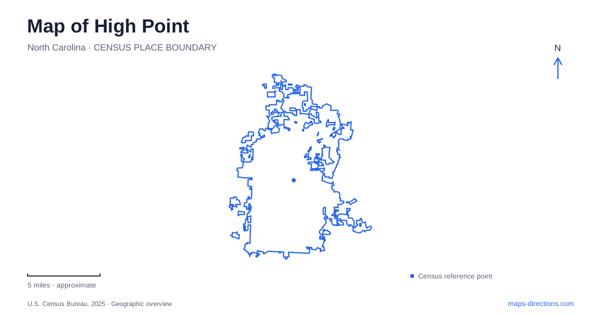
Street tiles load from OpenStreetMap when opened. The blue line shows the 2025 Census boundary.
- State
- North Carolina
- Population · July 2025
- 120,571
- Land area
- 57.5 sq mi
- Water area
- 1.5 sq mi
High Point has two map patterns that deserve separate attention: the tightly grouped downtown furniture showrooms and the larger recreation landscapes around its lakes. A showroom appointment depends on a building and street entrance. A park visit depends on the particular lake and facility. Both can be obscured by broad search terms, especially when several destinations share a market name or belong to one extensive park complex. Identifying the exact setting first makes the rest of the route easier to interpret.
Downtown is a district of showroom buildings
High Point Market describes its downtown footprint as thirteen city blocks, divided into seven showroom neighborhoods. These are useful wayfinding groupings within the event district rather than a substitute for the broader city's neighborhoods. Names such as Commerce Concourse, Downtown Main, and Hamilton Wrenn North organize a dense collection of buildings and exhibitors.
Commerce Avenue provides an important reference because the market's Transportation Terminal is located there. The organizer identifies this as the gathering point for its event shuttle system. A visitor arriving for the market can use the terminal as a specific place on the map, while still retaining the address of the showroom or appointment beyond it.
The International Home Furnishings Center illustrates why entrances matter within this district. The market identifies entrances associated with Commerce, Main, Wrenn, and Green. A large building can therefore face several streets, and an appointment described only by the building's initials leaves a useful piece of local geography unresolved. The entrance associated with the meeting is more informative than the building's central map marker.
Event transportation also belongs to a particular operating period. The organizer publishes separate market shuttle schedules and maps, so those services should be treated as event arrangements rather than assumed to be everyday city transit. The stable geographic framework is the downtown street network and its named showroom buildings. The operational overlay changes with the event.
Oak Hollow is one lake with several destinations
Oak Hollow Lake was built as a principal water supply and opened for public recreation in 1972. Its surrounding park complex contains a marina, campground, golf facilities, overlooks, and Festival Park. This collection explains why a general Oak Hollow search can return several legitimate but very different destinations.
Festival Park is at 1841 Eastchester Drive beside the lake's dam. The city identifies picnic settings and views over the water there. The marina, by contrast, uses 3431 North Centennial Street and provides boat access, fishing facilities, and associated services. These two addresses establish different approaches to the same lake.
The campground has its own North Centennial address and visitor arrangements. Even where facilities share a road or a lake name, they do not necessarily share the same arrival process. For a family gathering, boating trip, or overnight stay, retain the actual facility name rather than shortening everything to Oak Hollow Park.
The marina's description also includes an Oak Hollow Fishing Trail that is accessible only by boat. That is an especially important map distinction. The word trail does not always mean a walking path around the shoreline; here it describes fishing sites distributed across the reservoir. Reading the activity description alongside the map prevents a water-based feature from being mistaken for a pedestrian route.
City Lake and the environmental center form another landscape
High Point City Lake Park uses 602 West Main Street in Jamestown. The neighboring municipality in the address is part of the correct destination, not evidence that the search has found the wrong city park. This lake setting is separate from Oak Hollow and includes its own marina, recreation facilities, picnic areas, and aquatic center.
The city describes a bridge connection across Arnold J. Koonce Jr. City Lake to the High Point Greenway and Bicentennial Greenway. The Piedmont Environmental Center lies a short distance beyond that connection, creating a relationship between a developed recreation park and a network of natural trails. That connection is a useful feature to locate explicitly rather than imagining a route around the entire shoreline.
The environmental center is at 1220 Penny Road. Its trails pass through hardwood forest, pine forest, and lakeside habitats, while the center includes exhibits and a walk-on topographic representation of North Carolina. This gives the Penny Road destination an educational purpose as well as a trailhead function.
A High Point map can therefore support several quite different outings. Downtown calls for the showroom and entrance. Oak Hollow calls for the appropriate facility around a large water-supply lake. City Lake and the environmental center call for an understanding of the bridge and greenway connections. Preserving these distinctions makes it possible to combine work, recreation, and nature stops without confusing similarly named places or assuming that every lake destination occupies the same part of the city.
Map and statistics: U.S. Census Bureau, 2025 Gazetteer, January 2025 generalized place boundaries and Vintage 2025 population estimates. Local references: High Point Market Authority; City of High Point. Article prepared by Maps & Directions.