Map of Hialeah
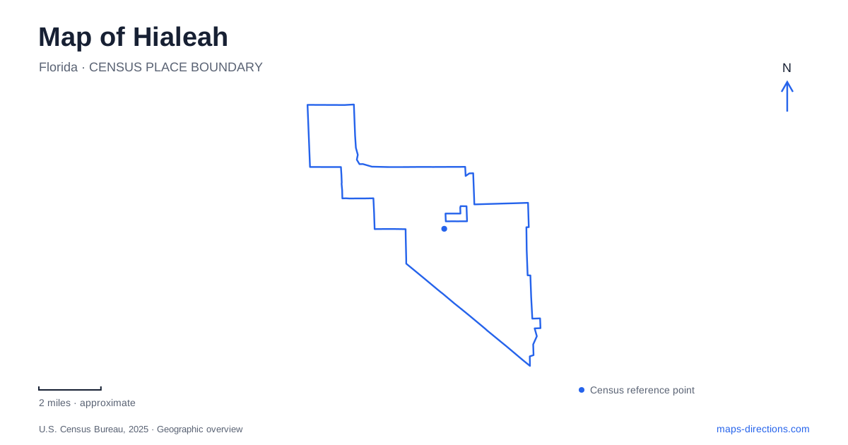
Street tiles load from OpenStreetMap when opened. The blue line shows the 2025 Census boundary.
- State
- Florida
- Population · July 2025
- 230,968
- Land area
- 21.6 sq mi
- Water area
- 1.2 sq mi
Hialeah has a recognizable urban pattern within the larger Miami region: numbered streets organized around Palm Avenue, a diagonal transportation corridor beside the Miami River Canal, and substantial areas devoted to industry and commerce. Historic racing grounds and public art spaces add landmarks within that working city. Understanding the local grid first helps make sense of addresses that can look deceptively similar to numbers elsewhere in Miami-Dade County.
Palm Avenue and the diagonal river corridor
Palm Avenue forms the north-south meridian of the local numbering system. East-numbered streets lie to its east and west-numbered streets to its west. Those directional words are part of the location, not optional additions to a street number. They distinguish opposite sides of the city even when the numbered street itself appears familiar.
Okeechobee Road, US 27, cuts diagonally across this otherwise strongly numbered landscape. Along the southwestern side, it follows the northeastern bank of the Miami River Canal, with Miami Springs across the water. The canal and road create a clear edge that differs from the ordinary residential blocks. Bridges at the Curtiss Parkway connection and at East First Avenue provide crossings, so the waterway also shapes how adjoining neighborhoods connect.
Toward the southeast, Okeechobee Road meets the Le Jeune Road and State Road 112 area near Miami International Airport. Toward the northwest, it reaches connections with the Palmetto Expressway and Florida's Turnpike. This makes it useful as a regional reference line through Hialeah, while Palm Avenue remains the more useful reference for interpreting local east and west addresses.
Commerce and the historic racing grounds
West 49th Street, Palm Springs Mile and Westland Mall are prominent commercial references identified by the city. Their importance shows why the street map cannot be reduced to a single traditional downtown square. Shopping and business activity occupy corridors and larger properties within the numbered grid, alongside residential and industrial uses.
The city incorporated in 1925, the same year Hialeah Park opened for horse racing. The historic racing grounds occupy a much larger footprint than the surrounding blocks, making the site legible even at a relatively broad map scale. The operator's history describes the landscaped setting and its flamingos, features that became closely associated with the place's public identity. The distinction between the grounds' historical racing role and their present casino operation is useful when interpreting older maps or photographs bearing the racetrack name.
The public library's history collection preserves early images, including Palm Avenue and Triangle Park in 1924, alongside racing programs and development documents. These records demonstrate how the present streets and landmarks emerged during the area's early growth. They also provide a reminder that the neat modern grid has a documented development history rather than being an anonymous extension of metropolitan Miami.
Art in industrial and park settings
The Leah Arts District uses existing industrial buildings for artists' combined working and living spaces. The city's public-art program places this district alongside other cultural locations, reflecting an effort to adapt the industrial landscape rather than replace all of it with a conventional museum campus. Warehouses and production spaces are part of the setting in which the art is encountered.
Garden of the Arts offers a different experience at 1850 West 76th Street. Completed in 2015, it includes paved walking trails, murals, monuments, seating and an amphitheater. Its landscaping and outdoor displays create a pedestrian destination in western Hialeah. The arts district and the garden therefore represent two distinct forms of cultural space: one embedded in reused industrial property and another organized as a landscaped public park.
Lakes and trails at the northern edge
Amelia Earhart Park is a county-operated destination with a local address of 401 East 65th Street. Its 515 acres and five lakes give it a scale very different from the surrounding blocks. Woodland mountain-bike trails, a dog park and a watersports complex provide separate recreational areas within the larger grounds. The lakes are consequently part of a developed recreation landscape, with facilities distributed around them.
The Bill Graham Farm Village interprets the region's agricultural past through a recreated farm setting. This adds a historical dimension to a park better known for outdoor activity. It should be understood as an educational reconstruction, rather than an intact surviving farm whose original fields still occupy the property.
County improvements along West 74th Place added tree-lined walkways and benches to strengthen neighborhood pedestrian access to the park. That connection is especially relevant to a map of Hialeah because it shows how a large regional recreation property relates to nearby homes. The local grid, diagonal canal corridor, working districts and large park landscapes each contribute a different part of the city's layout.
Map and statistics: U.S. Census Bureau, 2025 Gazetteer, January 2025 generalized place boundaries and Vintage 2025 population estimates. Local references: City of Hialeah published planning record; City of Hialeah; Hialeah Park Casino; City of Hialeah Public Libraries; Miami-Dade County. Article prepared by Maps & Directions.