Map of Herriman
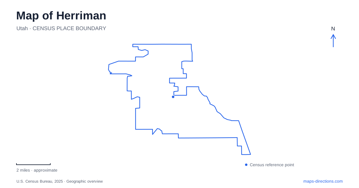
Street tiles load from OpenStreetMap when opened. The blue line shows the 2025 Census boundary.
- State
- Utah
- Population · July 2025
- 63,282
- Land area
- 23.2 sq mi
- Water area
- 0.0 sq mi
Herriman lies in the southwestern Salt Lake Valley, where developed neighborhoods meet the Oquirrh foothills. That setting gives the local map two strong patterns: regional roads organize movement through the valley, while reservoirs and canyon trails draw attention toward higher ground. The civic plaza and soccer academy add distinct activity centers within the developed area. These places are easier to understand as a group when terrain, street connections and recreation corridors are visible together, rather than treating the entire city as one neighborhood at the end of a highway.
Mountain View Corridor supplies the regional frame
Mountain View Corridor is an important reference for the valley side of the city. UDOT's project descriptions identify the stretch between 13400 South and Porter Rockwell Boulevard and distinguish existing pavement from future freeway construction. The road's name remains familiar even as the form of its intersections and connections changes. A regional planning map and the current driving network can therefore describe different stages of the same corridor.
For a regional journey, keep the cross street visible alongside the highway. Porter Rockwell Boulevard provides a southern reference, while 13400 South places the route farther north in the valley's numbered-street system. These names locate parts of the broader network; they do not establish that every movement shown on an interchange drawing is available. Use road information and signed approaches for the actual drive rather than substituting a development plan for a route.
The numbered streets also provide a useful contrast with the foothill roads. Their names belong to the metropolitan grid, whereas canyon and ridge names emphasize landforms. Moving from one naming pattern to the other often signals a change in the kind of map detail that matters.
A plaza creates a civic gathering point
J. Lynn Crane Park and Plaza is listed by the city at 5373 West Herriman Main Street. Municipal events use this location for gatherings, performances and seasonal activities. It is a defined urban public space, separate from the reservoir and the canyon recreation areas. The surrounding street address places the plaza within the developed city rather than on a mountain trail network.
That distinction helps explain the range of local open spaces. The plaza functions as a community meeting place; Blackridge combines water recreation with a hillside trailhead; the county canyon system provides longer routes through less developed terrain. They all appear as recreation destinations, but their forms and purposes differ. A map that retains their individual names makes those differences easier to see.
Blackridge joins a shoreline to the hillside trails
Blackridge Reservoir brings a sandy beach, grass areas, playground and pavilions together around a body of water. The city also identifies a paved trail and trailhead there. A reservoir outing can therefore remain near the shoreline or become the starting point for a separate hillside walk. The water and the rising ground belong to the same setting, but they organize different activities.
Herriman's reservoir information distinguishes the visitor parking lot from nearby residential streets, some of which have permit arrangements. For mapping purposes, that matters because the surrounding neighborhood is not an unlimited extension of the recreation site's parking area. The published lot and trailhead are the relevant arrival references.
The operator also describes the water as untreated and publishes water-quality information. Conditions should be checked before swimming or paddling; an attractive blue shape on a map says nothing about the water's condition that day. The shoreline facilities and the trail connection remain useful geographic facts even when a particular water activity is unsuitable.
Rose, Yellow Fork and Butterfield form a wider network
Salt Lake County places Rose and Yellow Fork canyons within the Southwest Canyons Trail Network, which also includes Butterfield Trailhead Regional Park. This connects several named canyon landscapes rather than describing a single circular park path. The county identifies hiking, running, equestrian use and selected mountain-biking routes, so the trail map's route classifications are relevant to choosing an outing.
West of the developed Herriman neighborhoods, this canyon framework becomes more useful than the city street grid. Butterfield's first thirteen-plus miles of trails opened in August 2023, and the county describes a connection toward Yellow Fork. A trail network can cross the geographic frame used for an ordinary neighborhood map, making a wider canyon view necessary to understand its branches.
The county's current Butterfield notice separates a vehicle-road closure from trail availability. That is a concrete reason to consult the latest access information for the chosen starting point: the status of a canyon road and the status of the adjacent trail system are not necessarily identical.
The soccer campus is another distinct landmark
Zions Bank Training Center and Stadium occupy a sports-campus setting at the base of the Oquirrh Mountains. The operator describes indoor fields and outdoor natural-grass practice fields on the north side of the facility. These features explain the large, specialized footprint visible on a close map: it contains training grounds and a stadium rather than one conventional recreation field.
A Herriman map can use this campus as a recognizable sports destination while keeping it separate from the civic plaza and canyon trailheads. The valley roads connect these activity areas, and the foothills provide their wider physical setting. Retaining both layers gives the reader a clearer picture of a community whose public spaces range from an urban plaza to shoreline recreation, major sports facilities and mountain trails.
Map and statistics: U.S. Census Bureau, 2025 Gazetteer, January 2025 generalized place boundaries and Vintage 2025 population estimates. Local references: City of Herriman; Utah Department of Transportation; Salt Lake County; Zions Bank Training Center / Real Salt Lake. Article prepared by Maps & Directions.