Map of Hendersonville
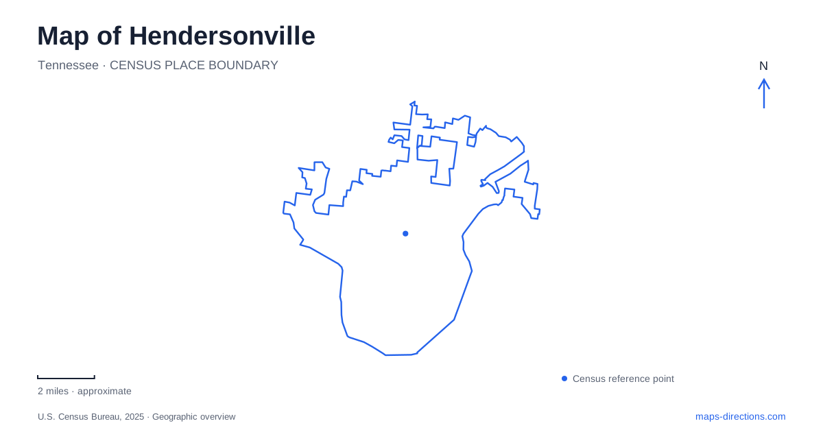
Street tiles load from OpenStreetMap when opened. The blue line shows the 2025 Census boundary.
- State
- Tennessee
- Population · July 2025
- 64,266
- Land area
- 31.7 sq mi
- Water area
- 5.6 sq mi
Hendersonville occupies the northern shore of Old Hickory Lake, where the Cumberland River's impoundment and its tributaries create a shoreline far less simple than a straight city edge. Historic houses, ball fields, picnic grounds and residential streets meet this water landscape in different ways. The most useful map is one that distinguishes the older river setting from the reservoir created in the twentieth century, then places the main public destinations within that changed geography.
The lake is a constructed landscape
Old Hickory Lock and Dam was authorized in 1946, with construction beginning in 1952. The dam closed in June 1954, and the final hydroelectric generating unit entered operation in December 1957. Those dates explain why descriptions of the lake's creation can refer to different years without necessarily contradicting one another. Impounding water and finishing the complete project were separate events.
The U.S. Army Corps of Engineers designed and operates this reservoir. It is part of the Cumberland River system, with functions extending beyond recreation to navigation, power and water supply. Hendersonville's lakeside appearance therefore belongs to a later period than its early houses and settlement sites. When considering a historic property beside the water, the present shoreline should not be assumed to reproduce the view or land boundaries its first occupants knew.
Rock Castle and the earlier creek landscape
Historic Rock Castle stands beside Drakes Creek, a tributary of the Cumberland. Its operator describes Daniel Smith's family's arrival in 1784 and the construction of the limestone house in several phases over roughly a decade. The building's story is consequently more complex than a single construction date on a map label. It developed through successive work on land associated with Smith's military service and surveying.
The site's interpretation includes the Smith family, Indigenous people displaced by settlement, enslaved workers and later sharecroppers. These histories matter when viewing the house as part of a working landscape rather than an isolated architectural object. Hendersonville's later residential growth and the creation of the lake changed that setting again. The historic property offers a way to consider those changes together, while avoiding the assumption that all of its surrounding land still belongs to the original estate.
Monthaven: a different house with a different purpose
Monthaven Arts and Cultural Center occupies another historic residence, with a story tied to the nearby Louisville and Nashville Railroad. Leonard Fite purchased the property in 1858 and began developing the house and farm using enslaved labor. During the Civil War, the house became a field hospital as Union forces secured the railroad and the nearby Mansker Creek bridge. The connection to transport helps explain why this location became strategically important.
The present name came later, following Mont Bliss Comer's acquisition in 1932 and his remodeling of the property. Its arts role developed after the house was conveyed to the city; the local arts council established its headquarters there in 1998. The organization adopted its current name in 2017. A map pin for an arts center and one for an antebellum house can thus refer to the same building, but neither label alone conveys its full history.
Creek-side recreation is divided among facilities
Drakes Creek Park and Memorial Park should be treated as named facilities rather than interchangeable labels for all recreation beside the creek. The city's parks history notes that some early ball fields at Drakes Creek are now associated with Memorial Park, while the later soccer complex and additional fields developed separately. That history helps explain why older descriptions can sound different from current event listings.
For a specific gathering, the shelter or athletic-complex name is more informative than the creek name alone. The city's north shelter listing, for example, places it at 150 East Main Street near sand volleyball facilities. These local distinctions matter in Hendersonville because a broad green area on a map may contain several activity destinations with separate approaches and meeting points.
Shoreline parks and the dam's recreation area
Sanders Ferry Park, addressed at 513 Sanders Ferry Road, provides another lakeside recreation setting, including picnic shelters and an eighteen-hole disc golf course. Its shelter listings identify different parts of the grounds rather than a single gathering location. The municipal parks history places this park among the early sites obtained from the Corps of Engineers, showing how the reservoir project helped shape the public park system.
The Corps also manages recreation associated directly with Old Hickory Lake. At Rockland Recreation Area, off Rockland Road, its archery trail and range offer a different activity from municipal playing fields or historic-house visits. Across these destinations, Hendersonville combines several layers: a river-and-creek landscape, an engineered lake, historic farms, and modern public recreation. Reading those layers separately makes the relationships between places clearer without reducing the city to one continuous waterfront park.
Map and statistics: U.S. Census Bureau, 2025 Gazetteer, January 2025 generalized place boundaries and Vintage 2025 population estimates. Local references: U.S. Army Corps of Engineers; Historic Rock Castle; Monthaven Arts and Cultural Center; City of Hendersonville. Article prepared by Maps & Directions.