Map of Hayward
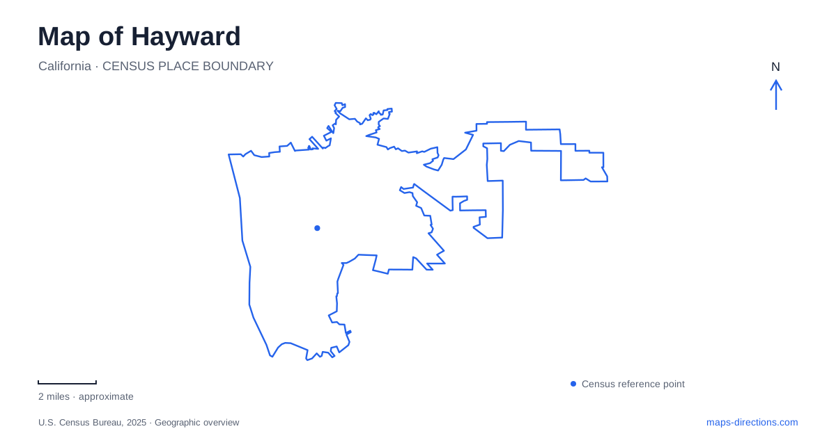
Street tiles load from OpenStreetMap when opened. The blue line shows the 2025 Census boundary.
- State
- California
- Population · July 2025
- 157,113
- Land area
- 45.8 sq mi
- Water area
- 18.3 sq mi
Hayward spans a pronounced change in landscape between the San Francisco Bay shoreline and the East Bay hills. Marshes and levee trails occupy the western edge, the older commercial district centers on B Street, and the university campus sits above the developed lowlands. This west-to-east progression is a useful organizing idea for the map. It explains why a shoreline walk, a downtown errand, and a campus visit involve different kinds of streets, paths, and terrain even though they share the same city name.
The bayshore is a worked and restored landscape
The regional shoreline contains salt, fresh, and brackish marshes, seasonal wetlands, and gravel trails. These habitats are not all untouched remnants of an earlier bay. Levees originally supported salt production, and nineteenth-century landings moved passengers, agricultural products, and salt toward San Francisco. At low tide, surviving timbers can still mark parts of that transportation history.
Cogswell Marsh illustrates a later change in priorities. Its 250-acre restoration returned tidal action to the area in 1980, allowing saltwater marsh to reestablish. Other parts of the shoreline contain managed ponds and bird habitat, producing a mosaic rather than one uniform wetland. On a map, a levee may therefore be simultaneously a historic industrial feature, a water-management boundary, and the alignment of a public trail.
The principal approach at West Winton Avenue leads west from I-880 toward the bay. Grant Avenue supplies another staging area farther north, while Breakwater Avenue provides a separate walking approach. These access points help distinguish the long shoreline from a conventional park with one central lawn. Wildlife protection also affects use: dogs are not allowed south of the West Winton Avenue flood-control channel.
Conservation includes the trail itself
A late-2025 land transfer added approximately seventy-seven acres to the regional park district's holdings and strengthened permanent access rights along a Bay Trail segment. The connection to Breakwater Avenue was part of that arrangement. The trail had already been open, so this was a change in long-term protection rather than the sudden creation of an entirely new walking route.
Hayward’s shoreline adaptation planning also links habitat with infrastructure. Proposed marsh work includes strengthening levees carrying the Bay Trail and creating upland space where marsh habitat can shift as sea level rises. These plans explain why the shoreline is best read as a changing environment with engineered edges, not simply a fixed strip of green beside blue water.
B Street and the historic commercial center
The downtown specific plan identifies B Street and Main Street as a commercial focus established by the 1930s. Historic properties are concentrated along B and C streets between Watkins Street and Foothill Boulevard. These shorter urban blocks offer a different scale from the open shoreline and its extended levee paths.
The downtown BART station opened in 1972, adding regional rail access to the older center. Its address at 699 B Street places transit directly within the commercial district. For Hayward, this relationship matters more than treating the station as an isolated transport stop: nearby shops, housing, offices, and public uses are part of the setting into which passengers arrive.
Foothill Boulevard's widening during the 1950s reflects another transportation period, when road capacity and suburban growth increasingly shaped the city. The downtown map consequently contains both an older commercial framework and later infrastructure designed for larger regional movements.
Smaller places preserve different histories
McConaghy House, at 18701 Hesperian Boulevard beside Kennedy Park, preserves an 1888 farmhouse. Its interpretation focuses on domestic life across the Victorian period and into the early twentieth century. The house is useful evidence of the area's agricultural past, especially when compared with the roads and suburban development around it. A surviving farmhouse can make an earlier land use tangible even after most neighboring fields have disappeared.
The Japanese Gardens occupy another distinct setting at North Third Street and Crescent Avenue, next to the senior center. This is a compact managed garden rather than a continuation of the regional marsh trails. Its location within the developed city offers a contrasting form of outdoor space, organized around a defined garden property instead of a broad ecological corridor.
The campus above the lowlands
Cal State East Bay's hillside campus is approached by Carlos Bee Boulevard and Harder Road. University directions describe the climb from Mission Boulevard, while the campus map shows loop roads, academic buildings, athletic facilities, and parking arranged within the larger site. The published campus address is 25800 Carlos Bee Boulevard.
This change in elevation completes Hayward’s west-to-east sequence. The marshes depend on tides and levees; downtown depends on street connections and transit; the university depends on hillside approaches and internal campus circulation. Reading those three settings together gives Hayward a clear physical structure while leaving room for the smaller historic and garden places between them.
Map and statistics: U.S. Census Bureau, 2025 Gazetteer, January 2025 generalized place boundaries and Vintage 2025 population estimates. Local references: East Bay Regional Park District; City of Hayward; BART; Hayward Area Historical Society; Hayward Area Recreation and Park District; Cal State East Bay. Article prepared by Maps & Directions.