Map of Hawthorne
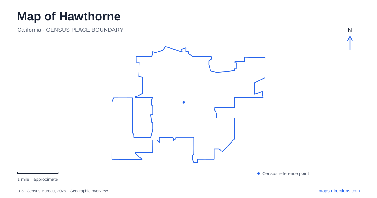
Street tiles load from OpenStreetMap when opened. The blue line shows the 2025 Census boundary.
- State
- California
- Population · July 2025
- 82,741
- Land area
- 6.1 sq mi
- Water area
- 0.0 sq mi
Hawthorne combines a numbered-street grid with major north-south avenues, an airfield and regional transit infrastructure. Its familiar names also carry several different meanings: a station name spans two communities, an airport honors an aviation pioneer, and a music landmark commemorates a former home. A useful local map should connect these places to their actual streets rather than assuming that a famous name describes an entire district.
West 126th Street and El Segundo Boulevard serve different civic roles
The City Clerk's office is at 4455 West 126th Street. The city's community-services guide places its recreation office at 3901 West El Segundo Boulevard, in the Memorial Park setting. These addresses establish two different civic destinations. A public-records appointment and a recreation-program inquiry do not necessarily begin at the same municipal building.
The recreation guide also identifies Betty Ainsworth Sports Center at 3851 West El Segundo Boulevard and the senior center behind Memorial Center at the 3901 address. This is a cluster of named facilities, not a single undifferentiated park building. El Segundo Boulevard gives the shared road reference, while the program or facility name identifies the particular location within that area.
For a Hawthorne community event, retain the facility name along with the street address. Memorial Park can describe the wider grounds, whereas the sports center or senior center describes a particular activity space. The nearby but different street numbers are useful clues that help distinguish the destinations before examining the detailed layout.
Prairie Avenue connects to a sports-history landmark
The city locates Jim Thorpe Park on Prairie Avenue just north of Rosecrans. Its historical account explains that the athlete lived locally during the late 1940s. The park name therefore has a direct connection to a former resident, rather than being an arbitrary recreation label.
Prairie Avenue and Rosecrans provide a concise geographical description of the site. They also separate this park from the Memorial Park facilities on El Segundo Boulevard. Someone comparing recreation destinations can use those cross-road relationships to understand different parts of the city without first memorizing every residential street between them.
The historical connection adds context without changing the practical map task. A visitor interested in Thorpe's association with the city should locate the commemorative park as a public destination, rather than infer that its name identifies his former residence. Place names often preserve a person's local significance while serving a different modern use.
West 119th Street holds a music-history site
California's Office of Historic Preservation identifies the Beach Boys childhood-home site at 3701 West 119th Street. Its landmark account connects the Wilson brothers' home with the group's early musical development and a recording of “Surfin'” in 1961. The designation commemorates the site where that history occurred.
This distinction is useful when planning a visit: the landmark is a specific historical location, not a large museum district. The numbered street and building number narrow the destination much more precisely than a search for the band name. A map helps place that small site within the surrounding city, while the historical designation explains why an otherwise ordinary residential address has broader cultural importance.
The airfield interrupts the ordinary street pattern
Hawthorne Municipal Airport is also known as Jack Northrop Field. The city's airport guide maps the airfield beside 120th Street, Jack Northrop Avenue and Crenshaw Boulevard. Its published airport address is 12101 South Crenshaw Boulevard. The runway and associated aviation land create a large specialized area within the surrounding street network.
On a local map, this explains why the airfield should not be treated like another block of through streets. Airport facilities have particular access arrangements around the perimeter. A destination associated with aviation may have its own operator address within that setting, so the general airport label is only the first level of orientation.
The airfield is also distinct from Los Angeles International Airport. Their regional proximity does not make the names interchangeable. Crenshaw Boulevard identifies the local municipal-airport setting; LAX-related transit information concerns a different airport complex and its regional connections.
The rail station belongs to the C Line network
Hawthorne/Lennox is a Metro C Line station, with local bus connections shown in Metro's station-area material. Its combined name reflects the surrounding communities and is more specific than the city's name alone. A transit journey should therefore use the complete station name when comparing it with other stops.
Metro's C and K Line arrangement changed in 2024, and the LAX/Metro Transit Center subsequently opened at Aviation Boulevard and 96th Street. Older diagrams can show a different division of the South Bay rail routes. Use the current line map to understand which branch serves the intended destination, rather than assuming that a familiar old line color still describes the same journey.
A practical Hawthorne map brings these layers together: civic offices on West 126th, recreation facilities on El Segundo, Jim Thorpe Park near Rosecrans, the music landmark on West 119th and the airfield's Crenshaw approach. Each reference supplies a different part of the local geography, while the rail map connects that geography to the wider region.
Map and statistics: U.S. Census Bureau, 2025 Gazetteer, January 2025 generalized place boundaries and Vintage 2025 population estimates. Local references: City of Hawthorne; California Office of Historic Preservation; Los Angeles Metro. Article prepared by Maps & Directions.