Map of Haverhill
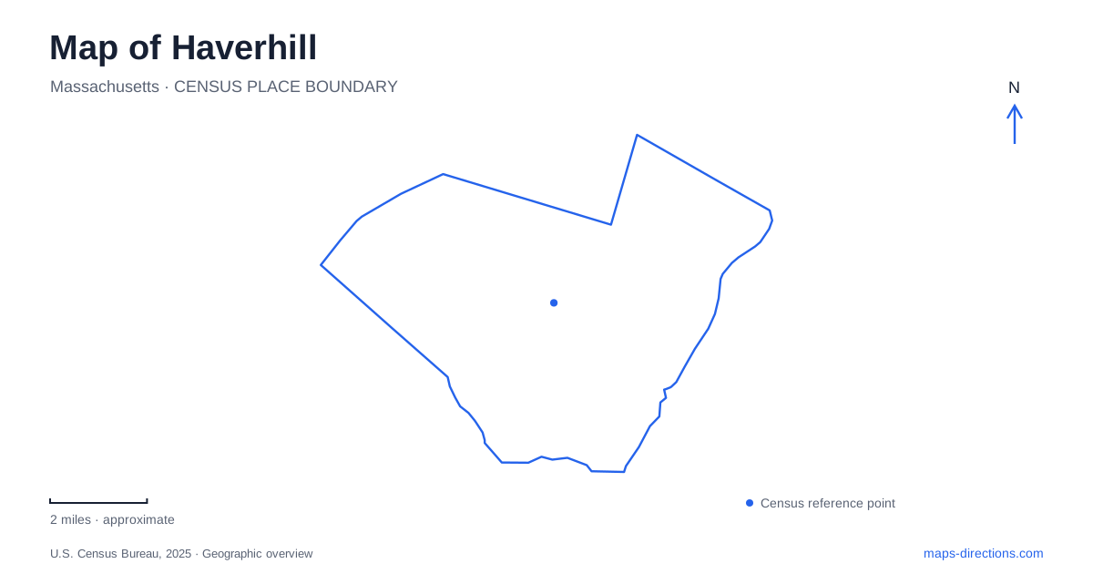
Street tiles load from OpenStreetMap when opened. The blue line shows the 2025 Census boundary.
- State
- Massachusetts
- Population · July 2025
- 68,361
- Land area
- 33.0 sq mi
- Water area
- 2.7 sq mi
Haverhill offers more than one kind of waterside landscape. The Merrimack supplies a riverfront setting, while inland ponds, wooded hills, and preserved farmland support quite different outings. A useful map distinguishes those environments instead of grouping them under a single parks symbol. The contrast between a shoe workshop on Water Street and broad agricultural fields on North Broadway is especially revealing: local history extends from industrial trades into a much older working landscape.
Start with the river and its smaller tributaries
The Bradford Rail Trail follows the Merrimack, giving the river a clear recreational presence. Elsewhere, Clement Farm offers trails toward the Little River as well as a public disc golf course. These are different water corridors, and their names help explain why a walk described simply as being beside the river may lead to very different surroundings.
The city's conservation inventory also identifies Brandy Brow Forest with the East Meadow River and describes it as the largest contiguous area of protected forest locally. For a map of Haverhill, these three names establish useful distinctions: the major riverfront, a smaller tributary reached through a recreation property, and a protected forest landscape. They also give a more informative starting point than choosing the nearest patch of green without considering what lies within it.
Water Street connects buildings with working lives
Buttonwoods Museum stands at 240 Water Street. Its exhibits bring together the Hunking Shoe Shop, the John Ward House, and the Ayer-Elliott Exhibit Hall. The shoe shop preserves the scale and equipment of a cobbler's workplace; the house introduces seventeenth-century domestic life; the gallery draws on a collection concerned with cultural and industrial history.
Together, those spaces offer a way to read Haverhill beyond the size of its modern buildings. A workshop explains production through tools and individual tasks, while a house shifts attention to daily domestic arrangements. This is a particularly useful historical stop for someone interested in how work and home occupied different kinds of structures. The museum's Water Street address anchors these themes at one identifiable site rather than leaving the city's manufacturing past as an abstract label on a map.
Winnekenni combines a lake with glacial hills
Winnekenni Park's principal approach is 347 Kenoza Avenue. The municipal inventory counts approximately 700 acres including Kenoza Lake and more than nine miles of trails. Parking is distributed between the entrance, Castle Road, and named trailheads. This is therefore a landscape with several possible starting points, rather than a small park organized around one field.
Its physical character includes drumlins, the elongated hills shaped by glacial activity. The Plug Pond and Dudley Porter trails follow the base of one such hill. The castle adds another layer: James R. Nichols built it as a summer home in the 1870s using local glacial boulders. The relationship between building material and terrain makes the structure especially meaningful in this setting. Within this conservation area, the city permits land-based recreation but prohibits fishing and boating; the presence of a large lake should not be read as an invitation to launch a boat there.
Two names identify the same swimming pond
Plug Pond is also called Lake Saltonstall. That equivalence matters when comparing a recreation listing with a map's water label. The recreation area's Sanders Road approach leads to the beach and trailered-boat launch, while Mill Street serves a separate rooftop-boat launch. Walking trails connect into the Winnekenni system.
This is the Haverhill lake setting for a designated seasonal swimming beach, in contrast to the restrictions at nearby Kenoza. Beach operation and water testing are seasonal, although the city identifies other facilities, including trails and the playground, as available year-round. A lakeside walk, a beach visit, and carrying a small boat to the water consequently involve different parts of the same recreation area. Understanding the access pattern is more useful than treating its two lake names as separate destinations.
North Broadway preserves an agricultural landscape
Tattersall Farm occupies about 150 acres at 542 North Broadway. Mary Alice Tattersall left the property to the city in 1999 with preservation conditions. The farmhouse, barn, displayed equipment, fields, and wooded ground help explain the former farm as a whole. Some agricultural use continues, and approximately two miles of trails allow the landscape to be explored beyond the buildings.
For Haverhill, this property adds a rural chapter that neither the museum workshop nor the wooded lake park can supply alone. Open fields remain central to its appearance. Reading the farm alongside Water Street and Winnekenni gives the city three tangible historical scales: the individual workplace, the designed estate within a glacial landscape, and the larger acreage needed for agriculture.
Map and statistics: U.S. Census Bureau, 2025 Gazetteer, January 2025 generalized place boundaries and Vintage 2025 population estimates. Local references: City of Haverhill; Buttonwoods Museum. Article prepared by Maps & Directions.