Map of Hartford
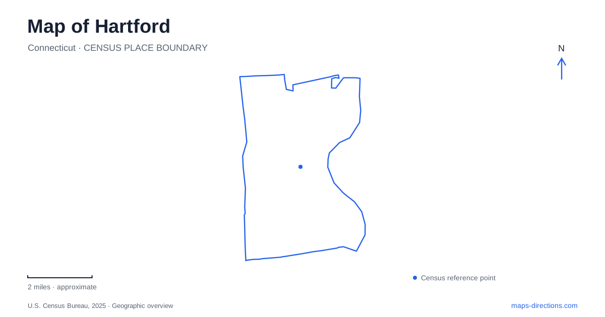
Street tiles load from OpenStreetMap when opened. The blue line shows the 2025 Census boundary.
- State
- Connecticut
- Population · July 2025
- 121,981
- Land area
- 17.4 sq mi
- Water area
- 0.7 sq mi
Hartford has several distinct park landscapes, and they offer a useful way to understand the city. Bushnell Park belongs to the downtown setting, the riverfront parks follow the Connecticut River, Colt Park developed from a private estate, and Elizabeth Park emphasizes gardens near the western municipal boundary. These are different geographic stories rather than four interchangeable patches of green. A map becomes clearer when each park is paired with its surrounding streets and the reason it occupies that particular setting.
Downtown's park and the riverfront are separate anchors
The city lists Bushnell Park at 60 Elm Street. Its carousel, Corning Fountain, and other monuments make it a recognizable downtown destination in its own right. The broad park outline can also help orient a visitor among surrounding city blocks, but an event at a specific monument or gathering area still needs that feature's name. An Elm Street address identifies the park setting without identifying every possible meeting place inside it.
Bushnell's history as an early municipal park gives the downtown landscape a different character from the riverfront. A walk organized around its monuments is an urban park outing, whereas a visit to the Connecticut River follows a separate system of plazas, riverwalks, and crossings. Keeping both anchors visible on a Hartford map prevents the assumption that the most prominent downtown green space is itself the riverbank.
Mortensen Riverfront Plaza uses 300 Columbus Boulevard. Riverfront Recapture describes it as the centerpiece of its park system, with a river-edge stage and a grassy seating terrace. The riverfront organization's account of its work explains that flood dikes and Interstate 91 had separated the city from the water. The resulting access landscape is therefore deliberate: riverfront plazas and promenades reconnect places that a simple overhead map might make look naturally adjacent.
Cross the river at a named promenade
The Founders Bridge promenade connects Mortensen Plaza with Great River Park in East Hartford. This named pedestrian connection is more useful for planning a cross-river outing than simply choosing whichever bridge appears nearest. It also establishes that Great River Park belongs to the opposite bank and a different municipality, even though it forms part of the same managed riverfront system.
Other destinations on the western bank include Charter Oak Landing at 50 Reserve Road and Riverside Park at 20 Leibert Road. Those addresses separate three different riverfront arrival points: Columbus Boulevard, Reserve Road, and Leibert Road. Their names should remain attached to the planned activity rather than being shortened to a general riverfront location.
The park system's trail maps show several possible combinations of waterfront paths and bridges. Read the individual route rather than inferring that every visible bank segment provides the same access. The lasting orientation is the sequence of named parks and the particular crossing used to move between banks. It supports a more coherent outing than a collection of river views selected without regard to where they lie.
Coltsville combines industry, an estate, and public recreation
Colt Park occupies grounds associated with Armsmear, the Colt family home. Elizabeth Colt left much of the estate grounds to the city after her death in 1905, while the area immediately around the house remained separate. That distinction explains why a map can show a public recreation landscape beside a historic residential property without implying identical access to both.
The park's western entrance near Wethersfield Avenue and Morris Street provides a street reference for this part of Hartford. Its grounds changed from an elaborate estate landscape into a municipal setting with sports and community recreation. The National Park Service places it within the wider Coltsville historic district, connecting the park's story to industrial development rather than presenting it as an isolated garden.
The East Armory's blue onion dome is another recognizable feature of that industrial landscape. The National Park Service explicitly identifies the armory as privately owned and not open to the public. Its value as an orientation landmark does not make it a public visitor building. A historical map of the district should preserve that distinction between visible architecture and accessible parkland.
Elizabeth Park crosses familiar naming expectations
Elizabeth Park's conservancy address is 1561 Asylum Avenue in West Hartford, although the park belongs to the capital city's park system. The city identifies entrances on both Asylum and Prospect avenues near the municipal line. This is a useful reminder that a park's administrative identity and its mailing address can describe different aspects of the same place.
The gardens, greenhouses, rose collection, and walking paths make this a horticultural destination rather than another Connecticut River park. Use the Asylum and Prospect references to place it correctly, then choose the garden or facility relevant to the visit. Together with downtown, the riverfront, and Coltsville, this boundary setting reveals a city whose public landscapes reflect several different histories and street patterns.
Map and statistics: U.S. Census Bureau, 2025 Gazetteer, January 2025 generalized place boundaries and Vintage 2025 population estimates. Local references: City of Hartford; Riverfront Recapture; National Park Service. Article prepared by Maps & Directions.