Map of Harrisburg
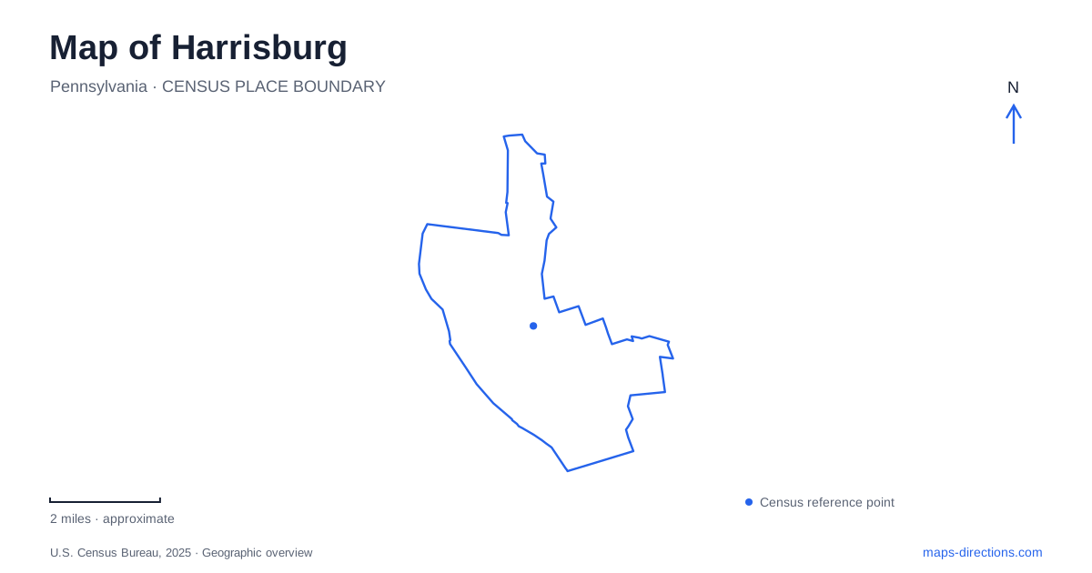
Street tiles load from OpenStreetMap when opened. The blue line shows the 2025 Census boundary.
- State
- Pennsylvania
- Population · July 2025
- 50,522
- Land area
- 8.1 sq mi
- Water area
- 3.7 sq mi
Harrisburg's map is organized by the Susquehanna River, but the city extends well beyond its waterfront. Front Street and Riverfront Park give the western edge a clear line. The Pennsylvania Capitol complex occupies an inland civic setting, Midtown adds a market-centered neighborhood, and Reservoir Park rises above the lower streets. City Island introduces a destination within the river itself. Reading these places together explains why a short distance on the map can involve a bridge, an uphill approach, or a change from civic grounds to residential blocks.
The Capitol has more than one face
The main Pennsylvania Capitol opened in 1906, designed by Joseph Huston in the American Renaissance style. Its Third Street frontage is the familiar ceremonial face, while the later East Wing addresses Commonwealth Avenue. The complex map also uses North and Walnut streets as important references, making the surrounding street names useful for understanding the building's orientation.
The East Wing opened in 1987, adding offices, public hearing rooms, and other working spaces. Its development fulfilled the idea of an expanded setting on the Capitol's eastern side. Today, the interactive Welcome Center is located within that wing. The result is a building with different visitor functions on different sides, not a monument approached only by one grand staircase.
For a visit to Harrisburg centered on state government, the complex map helps connect the main rotunda, legislative areas, neighboring office buildings, and public spaces. The accessible East Wing entrance is associated with the fountain on Commonwealth Avenue. Its operating arrangements should be checked when planning a weekend visit, since weekday and weekend access are handled differently.
Riverfront Park and City Island
Riverfront Park follows the Susquehanna beside Front Street, giving downtown a long public edge rather than a single waterfront plaza. State, Walnut, and Market streets provide recognizable connections between the central street grid and the river. The lower riverwalk creates another level of access close to the water, distinct from the upper street-side landscape.
City Island sits within the river and has approaches associated with Market and Walnut streets. The Walnut Street crossing is a pedestrian bridge between downtown and the island. Market Street supplies the road connection. Keeping those roles clear is useful when comparing a walk from the Capitol area with a driving trip to island parking.
The island's recreation layout includes the baseball stadium, a miniature railroad, carousel, and water-golf course. These attractions occupy different parts of the island rather than one enclosed complex. A map of Harrisburg should retain their individual positions, especially for a family combining several activities with a riverfront walk. The crossing itself is part of the outing and gives a different perspective on the downtown shore.
Midtown's market and adapted buildings
Broad Street Market, at 1233 North Third Street, anchors the Midtown Market District. Its history includes serving soldiers stationed at Camp Curtin during the Civil War. The market's relationship to neighborhood food shopping and small businesses gives it a different public role from the formal government complex farther south.
The rear brick market building was severely damaged by fire in July 2023. Restoration of a damaged market building and activity in other parts of the complex are separate matters. The surviving historic setting and market activity deserve attention, while the operator's visitor guidance establishes which parts of the complex are accessible.
Midtown also contains examples of older buildings adapted to new uses. Millworks occupies a former lumber mill, combining dining and art activity within an industrial structure. Old Fox Ridge adds historic housing to this broader district. These places show Harrisburg's neighborhood scale: trade, residence, and reuse coexist beyond the monumental architecture of the Capitol.
Reservoir Park changes the viewpoint
Reservoir Park is reached at 100 Concert Drive in the city's park directory. Within it, the National Civil War Museum uses the more specific address of One Lincoln Circle. The museum opened in 2001 and occupies high ground with broad views. Its location makes an important geographic contrast with the river-level paths downtown.
The museum's Walk of Valor runs beside the building and carries the names of Civil War veterans honored by descendants. The galleries interpret the conflict through artifacts, manuscripts, photographs, and other historical material. This setting combines a park landscape with a dedicated interpretive institution, rather than placing the museum inside the Capitol district.
Harrisburg becomes easier to navigate when these distinct settings remain visible: the Capitol for state institutions, Front Street for the river edge, City Island for recreation between channels, Midtown for market and neighborhood history, and Reservoir Park for higher ground. The connections among them reveal both the city's terrain and the different purposes its public places serve.
Map and statistics: U.S. Census Bureau, 2025 Gazetteer, January 2025 generalized place boundaries and Vintage 2025 population estimates. Local references: Pennsylvania Capitol; City of Harrisburg; Pennsylvania Department of Transportation; Historic Harrisburg Association; National Civil War Museum. Article prepared by Maps & Directions.