Map of Harlingen
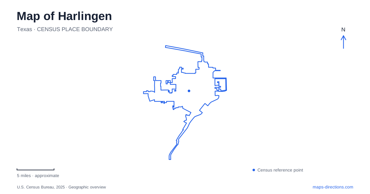
Street tiles load from OpenStreetMap when opened. The blue line shows the 2025 Census boundary.
- State
- Texas
- Population · July 2025
- 72,467
- Land area
- 40.3 sq mi
- Water area
- 0.5 sq mi
Harlingen combines an urban South Texas landscape with a network of places shaped by the Arroyo Colorado. The waterway supports brush, ponds, and bird habitat within the city, while museum buildings and military memorials tell stories of settlement, public service, and the former airfield. These subjects occupy several distinct locations. A useful map separates the natural corridors from the historic complexes, then shows how roads such as Loop 499, Boxwood Street, and Iwo Jima Boulevard connect the broader area.
Brush and water at Hugh Ramsey Nature Park
Hugh Ramsey Nature Park is at 1001 South Loop 499, just beyond the bridge over the Arroyo Colorado when approaching from the south. The reclaimed tract contains Texas ebony and other native vegetation, including mesquite, huisache, retama, and granjeno. Nature trails, photo blinds, and a pavilion support visits focused on habitat rather than organized sports.
The park is part of the Arroyo Colorado World Birding Center, a name that refers to a network of outdoor properties rather than one large indoor attraction. The vegetation and water create different viewing environments within the grounds. Texas Parks and Wildlife identifies brush trails, the arroyo bank, and ponds near the northern end as distinct places to explore.
Green Jays, Great Kiskadees, and Olive Sparrows are among the species associated with the site, while kingfishers and herons use waterside habitats. Sightings are never guaranteed, but the habitat differences explain why spending time in one small portion of the park can produce a different experience from walking another section. For Harlingen, this is an unusually direct connection between an urban road network and a landscape valuable to resident and migrating birds.
Other parts of the arroyo landscape
The Thicket preserves a remnant of native Tamaulipan brush near Taft Avenue and Commerce Street. It provides a different setting from a manicured lawn or a broad sports field: the vegetation itself is the reason to visit. Together with Hugh Ramsey, it forms the city's World Birding Center properties.
C.B. Wood Park offers another approach to the arroyo, with paved walking and cycling trails, picnic facilities, and a playground. The tourism bureau lists it at 400 West Harding Avenue. These smaller recreation spaces show that the waterway has several public settings, each with its own character. The parks should be read as individual access points along a shared natural feature, rather than assumed to form one uninterrupted riverside promenade.
City Lake and the library setting
City Lake introduces water into a more civic setting. The state's birding guide describes access to its eastern side from the area across from the public library on Sixth Street. Liberty Garden adjoins the library, while Third Street and Washington provide another reference for viewing the western side of the lake.
This location adds a compact outing to a map of Harlingen. A library visit, a lakeside walk, and an interest in birds can fit within the same neighborhood setting. Its arrangement contrasts with the brushland sites: streets and civic buildings frame the lake, whereas the arroyo parks emphasize habitat corridors and native vegetation.
Historic buildings collected on Boxwood Street
The Arts and Heritage Museum occupies 2425 Boxwood Street. Its grounds bring together buildings connected with different parts of local history. The Lon C. Hill home dates to 1904 and originally stood on Fairpark Boulevard before being moved to the museum complex in 1989. The first hospital, established in 1923, represents the development of local medical care.
Another building came from the former Army Airfield and housed the Air Police Squadron Command and brig before its later museum use. These structures make the site a collection of preserved places, not merely a gallery containing old photographs. In Harlingen, visiting this complex offers a way to compare domestic life, health care, and military history within one setting, while remembering that some buildings originally stood elsewhere.
Iwo Jima Boulevard and the memorial
The Iwo Jima Monument stands on the Marine Military Academy campus at 320 Iwo Jima Boulevard. Sculptor Felix de Weldon gave his original full-size working model to the academy in 1981, and it was dedicated there in 1982. Its relationship to the bronze memorial near Washington gives the sculpture a particular significance beyond being a later copy of a famous image.
The monument and indoor museum require separate planning. The outdoor memorial, gift shop and museum galleries are distinct parts of the academy site, and access to one does not establish access to all three. Check the academy's visitor arrangements for the particular part of the collection or grounds you intend to see, rather than using a general monument pin as an interior-tour reservation.
These varied places give Harlingen a map organized around both habitat and memory: the arroyo's brush and water, the civic lake, relocated historic buildings, and a nationally significant military sculpture each reveal a different part of the city.
Map and statistics: U.S. Census Bureau, 2025 Gazetteer, January 2025 generalized place boundaries and Vintage 2025 population estimates. Local references: Visit Harlingen; Texas Parks and Wildlife; Arts and Heritage Museum; Marine Military Academy. Article prepared by Maps & Directions.