Map of Hanford
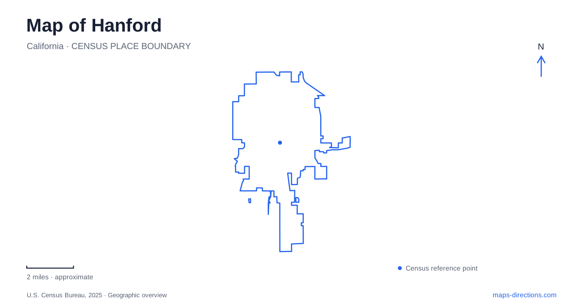
Street tiles load from OpenStreetMap when opened. The blue line shows the 2025 Census boundary.
- State
- California
- Population · July 2025
- 62,229
- Land area
- 18.4 sq mi
- Water area
- 0.0 sq mi
Hanford has a downtown whose railway, civic buildings and historic streets can be understood together without treating them as one destination. The depot supplies an arrival reference on Santa Fe Avenue, the Civic Auditorium anchors North Douty Street, and China Alley identifies a separate historic place. Beyond the center, parks on numbered avenues and local roads require a wider view. A useful map preserves each address while showing how the railway-era center relates to the rest of the city.
The depot is southwest of the civic park
Amtrak's Great American Stations profile places the depot at 200 Santa Fe Avenue and describes it as a few blocks southwest of Civic Center Park. It dates the surviving station building to 1897. This provides both a precise address and a useful directional relationship for someone arriving by train or meeting a passenger.
For a Hanford arrival, select the station itself rather than a broad downtown result. The historic building, platform and surrounding streets serve different purposes, and an old station photograph does not identify a permitted pickup position. Once the rail stop is established, add the next street address as another destination. The depot's proximity to the civic center helps explain the city, but it should not erase the final walking or driving leg.
Douty and Irwin name different civic addresses
The municipal facilities directory lists the Civic Auditorium at 400 North Douty Street and the Veterans/Senior Center at 401 North Irwin Street. These addresses are easy to confuse when an invitation mentions only a civic or community event. The facility name matters as much as the similar address number.
A meeting in central Hanford should retain the full building name and street. The recreation department's own office address is different again, so a general department search may lead to an administrative location rather than the room where an event takes place. Use the invitation or reservation information to identify the destination, then consult the map for the approach. Nearby civic buildings form a cluster, not one interchangeable public entrance.
The downtown core has named street references
The city describes Douty Street and Seventh Street as the core of its downtown improvement planning. It also discusses the area around Eighth Street and Irwin in that project context. Those intersections help orient a visitor within the center, but proposed street changes should be read as project information rather than assumed current driving instructions.
When planning a Hanford downtown visit, compare the current street map and signs with the exact address. A project illustration may show a possible future intersection treatment, while a navigation app may emphasize a different route through the same blocks. The stable street names provide the framework; present road conditions and the destination's entrance determine the final movement. Do not infer a turn arrangement solely from an older planning diagram.
China Alley is a particular historic address
The National Register documentation places the Taoist Temple at Number 12 China Alley and dates the building to 1893. The address gives this part of local history a specific location rather than reducing it to an unspecified Chinatown district. It is an appropriate landmark to identify when reading the historic center, with a separate identity from the railway depot and civic buildings.
Historic designation does not establish present opening hours or interior access. Anyone intending to visit the temple rather than simply understand its position should check the preservation organization's current arrangements. Keep the historic address in the map, but do not interpret the age or significance of the building as a promise of daily visitor admission. Geographic information and operating information answer different questions.
Neighborhood parks widen the map
Hidden Valley Park is identified by the city at North Eleventh Avenue and Cortner Street, with the street address 2150 North Eleventh Avenue appearing in municipal material. Lacey Park is at Florinda and Douty, while Freedom Park is listed at 2000 Nine-and-a-Quarter Avenue. These references show why the wider park system cannot be understood from the downtown core alone.
A park meeting should name the park and the reserved shelter or facility, not merely the nearest numbered avenue. The city lists multiple shelters at some parks, and a correct arrival at one end may still leave a visitor searching for the intended group. Read the internal park plan after selecting the road approach.
The map of Hanford is clearest when the depot, North Douty civic destination, North Irwin center, China Alley and individual parks remain separate anchors. Together they describe the city more accurately than a generic downtown pin. Use their relationships to order the trip, then let the full address and facility name settle the last part of each arrival.
Map and statistics: U.S. Census Bureau, 2025 Gazetteer, January 2025 generalized place boundaries and Vintage 2025 population estimates. Local references: Amtrak Great American Stations; City of Hanford; National Park Service. Article prepared by Maps & Directions.