Map of Hampton
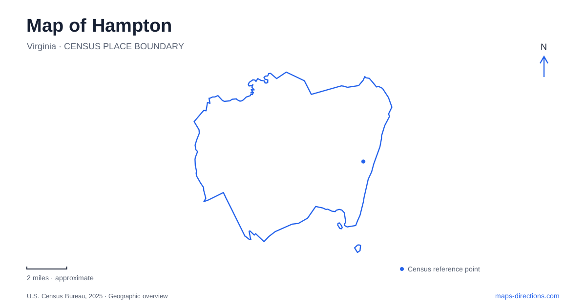
Street tiles load from OpenStreetMap when opened. The blue line shows the 2025 Census boundary.
- State
- Virginia
- Population · July 2025
- 137,315
- Land area
- 51.5 sq mi
- Water area
- 84.8 sq mi
Hampton is a waterfront city with several centers of activity, and those centers should remain distinct on a map. Downtown, Phoebus, Fort Monroe and Buckroe each have a recognizable setting and their own useful approach streets. A small regional view can make them appear to be one continuous destination, particularly when water fills much of the screen. Enlarging the land connections reveals the practical differences: a downtown waterfront appointment, a historic fort visit and a beach outing are separate routing tasks.
Downtown follows the river
The city's water-planning material places the downtown waterfront along the Hampton River and identifies Settlers Landing Road, Queen's Way, Mill Point Park and Pasture Point as local references. These names turn a general downtown label into a usable set of relationships. The river helps establish the setting, while a particular road or park identifies the part of the waterfront intended for a visit.
That distinction matters when arranging a meeting. A waterfront pin may sit near a park, business or public space without indicating the correct street arrival. Retain the venue name and street address, then inspect the adjacent blocks. The planning map also distinguishes working waterfront from public gathering spaces. Water frontage alone should therefore never be interpreted as continuous public access. The accessible destination is the named place, not every segment of shoreline visible beside it.
Phoebus has its own main streets
Phoebus is another distinct part of Hampton. Municipal planning describes its historic commercial character and identifies Mellen and Mallory Streets as important local corridors. Fort Monroe is close enough to be a major part of the area's orientation, but proximity does not make the two destinations identical. A restaurant or shop in Phoebus should be located by its own address before adding a fort visit to the same plan.
The practical value of this distinction becomes clear at a detailed zoom. The commercial district organizes around streets and blocks, while the fort approach requires a water crossing. A broad search for the historic area may not preserve that transition. Locate Mellen Street, locate the crossing toward the fort, and then decide which side contains the actual destination. This is more informative than assuming that all nearby historic landmarks share one parking or arrival point.
Use the fort's visitor address
The National Park Service recommends navigating to the Fort Monroe Visitor & Education Center at 30 Ingalls Road. Its published approach from Interstate 64 uses South Mallory Street, East Mellen Street and the bridge before reaching Ingalls Road. These street names explain how the fort connects with the city. They also establish why a marker in the middle of the historic property is less useful than the visitor center's address.
The park service lists a different mailing address on Bernard Road, so distinguish correspondence information from visitor directions. That is an easy source of confusion when a search engine displays several official addresses for the same site. For a first arrival, the expressly identified visitor destination is the better reference. Once there, a site map can explain individual buildings and paths at a scale that a general city map cannot provide.
Buckroe is a beach district
For a beach-oriented Hampton trip, Buckroe supplies a different coastal focus. The city lists Buckroe Beach and Park on North First Street, with a boardwalk, playground and other recreational facilities. It separately identifies the James T. Wilson Fishing Pier on South Resort Boulevard near Point Comfort Road. Keeping those names separate is useful when one person intends to meet at the park and another has selected the pier.
The water view does not resolve that ambiguity. A beach label covers a stretch of shoreline, whereas a pier has a specific landward entrance. Choose the exact facility that matches the purpose of the outing, and check its operating information independently. Seasonal services, admission arrangements and weather-related restrictions are not encoded in the city boundary. An overview can show where these places belong without claiming that their facilities are always available.
The inland event area needs another close view
The municipal bicycle and pedestrian plan maps Coliseum Central as another destination cluster, showing Coliseum Drive, Mercury Boulevard, the Coliseum, convention center and Bluebird Gap Farm. This creates a useful contrast with the historic waterfront: a venue-oriented trip should be anchored to the event facility, not to a downtown center point. A planning map may also show recommended paths alongside existing facilities, so its legend is essential before interpreting a line as a usable connection.
A well-read Hampton map keeps these different settings intact. The river organizes downtown, Mellen and Mallory orient Phoebus, Ingalls Road identifies the fort visitor arrival, and named beach facilities clarify Buckroe. For an event, shift to the relevant inland venue map. Each view answers a different question, and none needs an invented journey time to explain how the city's destinations fit together.
Map and statistics: U.S. Census Bureau, 2025 Gazetteer, January 2025 generalized place boundaries and Vintage 2025 population estimates. Local references: City of Hampton; National Park Service. Article prepared by Maps & Directions.