Map of Hammond
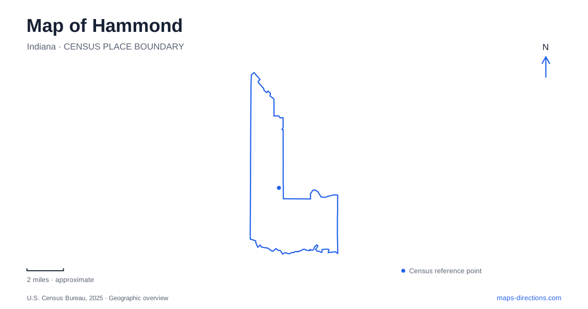
Street tiles load from OpenStreetMap when opened. The blue line shows the 2025 Census boundary.
- State
- Indiana
- Population · July 2025
- 75,712
- Land area
- 22.7 sq mi
- Water area
- 1.1 sq mi
Hammond sits within a complicated landscape of railways, industry, lakes, and public recreation. Its northern waterfront is not a single body of water: Lake Michigan, Wolf Lake, and Lake George each create their own shoreline setting. Farther south, a university campus and rail corridors organize another part of the city. A useful local map brings these differences into focus, especially where familiar place names survive changes in transportation or land use.
Three waterside settings
The marina and Lakefront Park lie at 701 Casino Center Drive on Lake Michigan. This is the city's Great Lakes frontage, with boating facilities, beach access, and a neighboring bird sanctuary. The port authority describes the sanctuary as a narrow wooded refuge between the marina and a data center. Its setting is particularly distinctive because migrating birds use habitat within an intensely developed shoreline, rather than a remote natural coastline.
Wolf Lake Memorial Park is inland at 121st Street and Calumet Avenue. Its recreation spaces include a launch, paved paths, picnic areas, and an aquatic play center. The lake supports boating and fishing, while the play center provides a separate splash-pad environment for children. A map showing water beside the playground should not blur those two activities together: one belongs to the lake, the other to a purpose-built facility on shore.
The Lake George trail adds connections toward Whiting, with bridges over Calumet Avenue and Indianapolis Boulevard identified in the city's park inventory. Those crossings are important parts of the landscape because major roads otherwise divide the lake-area destinations. They show how the recreation network works through the surrounding infrastructure rather than occupying an isolated, uninterrupted park reserve.
A pavilion with an architectural reference
The Pavilion at Wolf Lake, often called the PAV, makes the lakefront an entertainment setting as well as an outdoor recreation area. The operator explains that its tower design was inspired by Frank Lloyd Wright's 1895 concept for an amusement resort at Wolf Lake. The modern pavilion is an interpretation of that earlier idea, not a surviving Wright-designed building.
Its stage and broad concrete-and-grass audience area create a recognizable event space on the shore. This differs from the quieter movement along the lakeside paths: concerts and festivals concentrate people around a fixed focal point, while walking and cycling spread activity through the larger trail network. The pavilion is a helpful landmark for understanding where the park's performance functions sit within its more extensive waterfront setting.
A changed railway map
Hammond Gateway is at 4530 Sheffield Avenue, near Gostlin Street. It replaced the former South Shore station at 4531 Hohman Avenue in October 2024. Older directions that still name the Hohman location therefore reflect a real station move, not an alternative entrance to the present boarding area. Sheffield Avenue is the relevant street for the current gateway.
South Hammond station, at 401 173rd Street near Lyman Avenue, belongs to the Monon Corridor. Passenger service on this eight-mile southern extension began in March 2026, connecting the northern gateway with stations toward Munster and Dyer. The operator distinguishes the Monon branch from the established Lakeshore Corridor. That distinction is useful when tracing a journey: the network now has a southward branch as well as the longer east-west route serving Chicago and communities toward South Bend.
Campus streets and a reclaimed landscape
Purdue University Northwest's Hammond campus uses 2200 169th Street as its main address. The university's map identifies separate destinations such as the Student Union and Library Building and the Fitness and Recreation Center. Its institutional name also covers a campus in Westville, while Gabis Arboretum is near Valparaiso. Those are geographically separate properties, so a university-wide listing can encompass far more territory than the local campus street grid.
Lost Marsh offers another example of a map concealing an earlier landscape. At 901 129th Street, the golf complex occupies land associated with a former slag pile. An Environmental Protection Agency reuse study documents its transformation from an industrial brownfield into golf and recreation space. The visible fairways therefore represent a major change in how the land functions, rather than a long-undisturbed green area.
Taken together, these places give Hammond a map shaped by adaptation: railway facilities relocate and expand, industrial ground gains recreational uses, and public paths connect lakes across busy roads. The city becomes easier to understand when its stations, campus, Great Lakes shore, inland waters, and reclaimed landscapes are treated as distinct parts of that evolving geography.
Map and statistics: U.S. Census Bureau, 2025 Gazetteer, January 2025 generalized place boundaries and Vintage 2025 population estimates. Local references: City of Hammond; Hammond Port Authority; South Shore Line; Purdue University Northwest; US Environmental Protection Agency. Article prepared by Maps & Directions.