Map of Hamilton
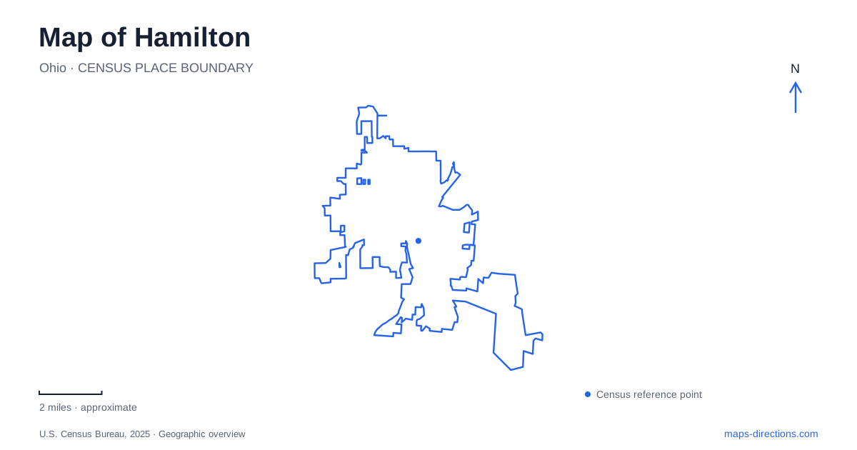
Street tiles load from OpenStreetMap when opened. The blue line shows the 2025 Census boundary.
- State
- Ohio
- Population · July 2025
- 64,644
- Land area
- 21.5 sq mi
- Water area
- 0.4 sq mi
Hamilton's Great Miami River setting links industrial history with a present landscape of recreation, art and civic institutions. A former paper mill now accommodates sports and events, while an industrialist's unusual home stands across from the library he created. Beyond the central streets, a sculpture park and a forest containing canal remains extend the story into larger landscapes. These places show how buildings and land can retain evidence of earlier purposes while taking on new roles.
Champion Mill has become a different kind of destination
The former Champion paper-mill property on the west side of the Great Miami River has been redeveloped as Spooky Nook Sports Champion Mill. The site's industrial scale made possible a large complex of sports, fitness and event spaces. Its present use depends on the dimensions and organization inherited from manufacturing.
The operator distinguishes Mill 1 from Mill 2. Mill 1 contains the sports complex, while Mill 2, across the street, includes the conference center. These names describe separate parts of the development, so a single general destination pin does not fully explain where a particular activity takes place.
This reuse gives Hamilton a visible example of industrial adaptation. The mill's identity survives in the name and physical complex, but its daily activities have changed substantially. A map that includes the river, the street between the two sections and the individual venues is more informative than treating the entire development as one undifferentiated building.
Two octagonal buildings connect a home with public learning
The Lane-Hooven House was built in 1863 for industrialist Clark Lane. Builder James Elrick gave it the distinctive octagonal form that remains central to its identity. Lane's manufacturing business produced agricultural machinery, linking the family's wealth to technological changes in farming.
In 1866, Lane commissioned another octagonal building across the street, this time for a free public library. The paired forms create a particularly clear relationship between private residence and public philanthropy. Their proximity makes the connection visible at the scale of a single street.
The house later passed through several owners before becoming the home of the community foundation. Its current use continues a civic role, although it is no longer a family residence. Together, the two buildings show how architectural choices and industrial wealth shaped a lasting part of Hamilton's public landscape.
The library also preserves local evidence
The library's Cummins Local History Room occupies its fourth floor and provides a place for researching regional history. That function extends the institution's significance beyond its unusual original form. The building is both a historical subject and a location where evidence about other local places can be consulted.
This is useful when comparing a modern street map with an older image or property record. The octagonal house and library are recognizable landmarks, while the collection can help explain less visible changes around them. The distinction between a landmark and a research institution is important here because the library serves both roles.
The surrounding city has changed repeatedly since Lane's time. Surviving civic buildings help anchor those changes, but they represent only part of the industrial community that supported them. Their story is most informative when read alongside workplaces such as the paper mill rather than in isolation.
Pyramid Hill places sculpture within a larger landscape
Pyramid Hill Sculpture Park and Museum began with land Harry Wilks purchased in 1987 for his Pyramid House. He acquired additional property and established the nonprofit park in 1997. The grounds now encompass rolling hills, meadows, lakes and trails, with monumental outdoor sculpture distributed through the landscape.
The park's collection includes both contemporary work and antiquities, with ancient objects displayed inside the Pyramid House. This creates several distinct scales of viewing: individual objects indoors, large sculptures outdoors and the wider terrain around them. The surrounding land is part of the experience rather than a neutral backdrop.
For Hamilton, Pyramid Hill adds a cultural destination whose geography differs sharply from the compact octagonal landmarks downtown. It requires a property-scale understanding of roads, paths and dispersed works. The house, museum spaces and outdoor collection form related components within an extensive site.
Rentschler Forest reveals an older transport corridor
Nearby Rentschler Forest MetroPark is in Fairfield Township, rather than within the city itself. It contains woods, Kennedy Creek and remnants of the Miami–Erie Canal. The Great Miami River adds another water corridor beside the park's recreation landscape.
The canal remains are evidence of an engineered transportation system, while the creek and river belong to the area's natural drainage. Their proximity helps explain why several kinds of water feature may appear together on a park map without sharing the same origin or purpose. The park also provides a canoe and kayak launch on the river.
Reading Hamilton and its nearby destinations through these relationships brings the region's changes into focus. The paper mill has a new public use, Lane's philanthropy survives in paired buildings, sculpture occupies a deliberately preserved landscape, and canal traces remain within a forest park. Each place records a different decision about how land and structures could serve the community.
Map and statistics: U.S. Census Bureau, 2025 Gazetteer, January 2025 generalized place boundaries and Vintage 2025 population estimates. Local references: Spooky Nook Sports; Hamilton Community Foundation; Ohio History Connection; Lane Libraries; Pyramid Hill Sculpture Park and Museum; MetroParks of Butler County. Article prepared by Maps & Directions.