Map of Haltom City
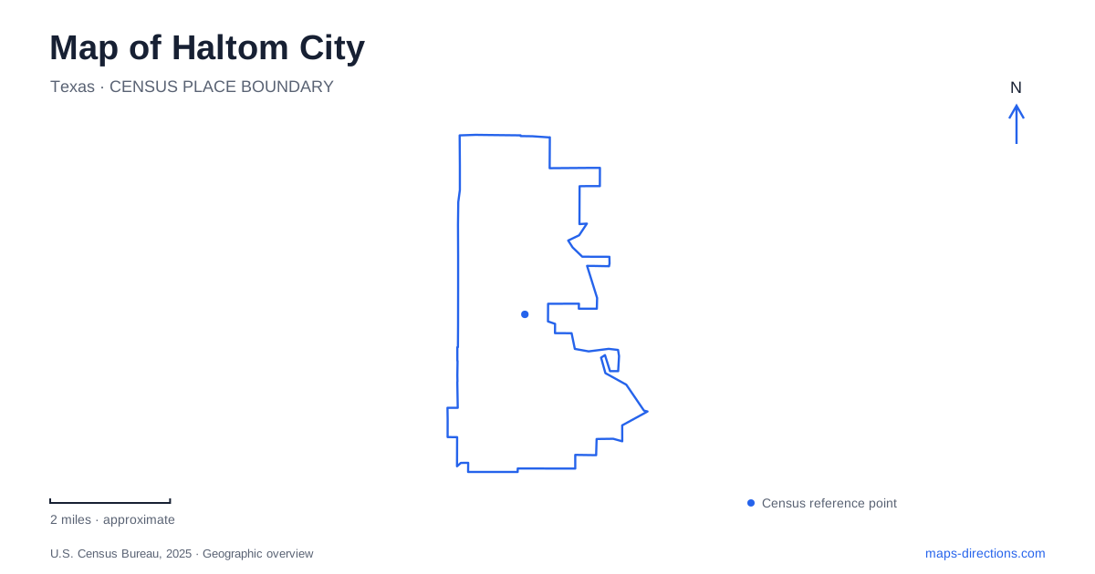
Street tiles load from OpenStreetMap when opened. The blue line shows the 2025 Census boundary.
- State
- Texas
- Population · July 2025
- 45,542
- Land area
- 12.3 sq mi
- Water area
- 0.0 sq mi
Haltom City combines the legacy of an early county seat with a landscape shaped by highways, creeks, and postwar development. Birdville survives in local place names, while East Belknap Street, Denton Highway, and Northeast Loop 820 describe major commercial corridors. Beneath that road network, Big Fossil Creek, Little Fossil Creek, and White’s Branch carry water toward the wider Trinity River system. These historical and physical layers explain why the city has several centers of activity rather than one simple downtown pattern.
Birdville before the modern road corridors
Birdville was Tarrant County’s first county seat, winning that role in 1850 before losing it to Fort Worth in 1856. The early county-building tract was bounded by Walker, Carson, and Broadway streets, in the vicinity of the present W.G. Thomas Coliseum. An 1851 town plat showed twelve blocks and a public square.
The location of business activity later changed. The city’s historical account describes the 1932 routing of major highways south of the older business district and the decision of many businesses to relocate toward those roads. Birdville’s identity nevertheless continued through churches, a cemetery, roads, and the school district.
That sequence gives Haltom City an important geographic distinction: the oldest civic focus and the later highway-oriented commercial areas do not represent the same stage of development. The former county-seat story belongs to the Broadway-area street pattern, while later road improvements helped redirect trade and investment.
Highways and the creek landscape
The city’s economic-development history identifies Highway 121 and Loop 820 as important industrial corridors, with retail growth later concentrated along Northeast Loop 820 and Denton Highway. These routes help explain the distribution of larger commercial and employment sites. Their role extends beyond moving traffic; they have influenced where redevelopment and investment occur.
The drainage network follows a different logic. Municipal stormwater records name White’s Branch, Big Fossil Creek, and Little Fossil Creek as principal receiving streams, with the West Fork of the Trinity River receiving the city’s drainage farther downstream. A map retaining these watercourses reveals land relationships that are easy to miss when attention stays only on the major roads.
Little Fossil Creek intersects infrastructure at several scales. Municipal project records identify a crossing at Thomas Road, while another channel-improvement study concerns the reach south of State Highway 121 near the Trinity Railway Express corridor. These references show how drainage, streets, and railway infrastructure overlap. They also explain why creek work is a significant part of maintaining the developed city, rather than an isolated environmental project.
Broadway Park and community recreation
Broadway Park lies behind the Recreation Center at 4839 Broadway Avenue. Its approximately fifteen acres include youth ball fields, football areas, playgrounds, courts, a pavilion, and a sprayground. A renovation completed in September 2022 updated this established community recreation setting.
The relationship between the indoor center and outdoor grounds is a useful feature of Haltom City’s local geography. Classes and indoor activities share a general location with fields and play spaces, creating a concentration of recreation within the surrounding neighborhood. The park is therefore both a named green space and part of a larger community-service site.
Buffalo Ridge Park offers a different scale at 5720 Parkwood Trail. The city identifies it as its largest park, with approximately 95 acres and three miles of walking, jogging, and cycling trails. Picnic areas, a pavilion, a playground, and a school softball field add developed recreation to the larger grounds. Its broader footprint provides a contrast with the more concentrated arrangement at Broadway.
A memorial within a neighborhood park
Haltom Road Park, at 3113 Haltom Road, contains a short walking loop, play facilities, and the Veterans Memorial completed in 2017. The memorial’s thirty-foot victory arch and rotating granite globe create a distinct commemorative space within the nine-acre park. A Walk of Freedom, added in 2020, includes engraved bricks honoring individuals from military, public-safety, and community life.
Haltom City’s public spaces thus express several different local stories. Broadway brings indoor and outdoor recreation together, Buffalo Ridge provides a larger trail setting, and Haltom Road Park combines neighborhood use with remembrance. Their roles are more specific than their common appearance as green areas on a citywide map.
Reading Haltom City through Birdville, the Fossil Creek system, and these recreation sites reveals the connections between settlement history and present land use. The old county-seat streets, highway corridors, drainage crossings, and community parks each account for a different part of the city’s shape.
Map and statistics: U.S. Census Bureau, 2025 Gazetteer, January 2025 generalized place boundaries and Vintage 2025 population estimates. Local references: City of Haltom City. Article prepared by Maps & Directions.