Map of Hallandale Beach
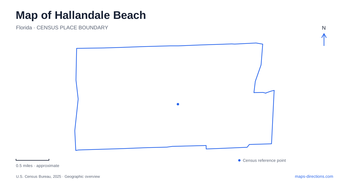
Street tiles load from OpenStreetMap when opened. The blue line shows the 2025 Census boundary.
- State
- Florida
- Population · July 2025
- 42,698
- Land area
- 4.2 sq mi
- Water area
- 0.4 sq mi
Hallandale Beach includes more than its oceanfront strip. Its map also contains older inland neighborhoods, historic buildings, and park spaces in Golden Isles and Three Islands. South Ocean Drive is the clearest reference for a beach visit, while Egret Drive, Three Islands Boulevard, and the numbered southwest and northwest streets lead to different parts of community life. Comparing those locations reveals a place that developed from an agricultural settlement into a coastal city without losing every trace of its earlier landscape.
The beach came after the farming community
The city's historical account describes Scandinavian settlement in the 1890s and an economy in which tomato farming mattered long before the shoreline was heavily developed. Railway tracks arrived in late 1895, linking local production with a wider transport system. Early residents used the undeveloped beach for recreation, but reaching it required crossing the canal that became part of the Intracoastal Waterway. The first bridge arrived in 1917.
That sequence helps explain Hallandale Beach as an inland settlement with a coastal edge, rather than a resort that began on the sand. The municipality incorporated as Hallandale in 1927 and added the word Beach to its official name in 1999. Older signs, documents, and building names may therefore use the shorter form. They refer to the city's earlier naming, not necessarily to a different neighboring community.
South City Beach Park and the public shore
South City Beach Park is at 1870 South Ocean Drive. Its public facilities include beach access, showers, restrooms, a playground, a pavilion, bocce courts, and sand volleyball. This concentration of amenities makes it a useful anchor for understanding the shoreline: the beach itself is only one component of a larger public recreation site.
The city also identifies North City Beach Park and four additional public beach accesses. The smaller access points serve a different role from a park with several recreation facilities. When comparing the waterfront on a map, it is useful to distinguish an access corridor from a full park complex. A visitor planning a picnic and playground stop will be looking for a different arrangement from someone simply approaching the sand on foot. The shore is shared geographically, but its public entry points vary in what they provide.
Golden Isles and Three Islands
Golden Isles Park, at 500 Egret Drive, combines a playground, covered outdoor fitness area, pavilion, and separate off-leash areas for large and small dogs. The adjacent tennis center extends the recreation setting with racquet and court sports. These facilities place a broad range of neighborhood activities together away from the oceanfront. They should be read as an inland recreation campus rather than another name for a beach park.
Joseph Scavo Park occupies a different neighborhood setting at 900 Three Islands Boulevard. Formerly called Three Islands Park, it was renamed in 2001 to honor a community leader and mayor. The street address and former name are useful clues when comparing maps or older accounts. Together, the two park locations show how Hallandale Beach's recreation system follows distinct residential districts as well as the coast.
Villa Providence in the southwest streets
Curci House stands at 324 Southwest Second Avenue within the Historic Village property. Built in 1924 and originally called Villa Providence, it is a Mediterranean-style house associated with the Frank Curci family. Its residential setting offers a different scale from the larger coastal buildings: a single home and its grounds preserve one household's place in the city's history.
The Historic Village also includes the Moffit House, a wood-frame building to the north. This grouping makes the site useful for understanding domestic architecture and preservation rather than only a list of famous former residents. On a map of Hallandale Beach, Southwest Second Avenue locates a historical destination among neighborhood streets, separate from the recreation sites identified by Ocean Drive or the island district names.
A schoolhouse that moved
The historic schoolhouse at 648 Northwest Second Street was built in 1910 after a hurricane destroyed the earlier school. Local residents obtained materials from Miami and supplied volunteer labor for the replacement two-room building. Public classes ended there in 1916; Bethlehem Lutheran Church later used it as a learning center. In 1966, it was donated to the city and moved to its present location.
Its address therefore marks a preservation site, not the original classroom location. That small distinction is central to reading the historical map accurately. The schoolhouse, Curci House, and inland parks broaden a visit beyond the sand, while the public oceanfront parks explain the city's modern coastal identity. Together they give Hallandale Beach a geography of schools, homes, neighborhood recreation, and shoreline access built across several different periods.
Map and statistics: U.S. Census Bureau, 2025 Gazetteer, January 2025 generalized place boundaries and Vintage 2025 population estimates. Local references: City of Hallandale Beach. Article prepared by Maps & Directions.